My Fourth Sichuan Trip in 2025: A Western Sichuan Grand Loop Where Eyes Feast but the Body Doesn't Suffer
Here is the SEO-optimized rewrite of your article, structured for maximum visibility and reader engagement.
SEO Title: Western Sichuan Grand Loop 2025: An 8-Day Itinerary for Epic Views Without the Suffering
Meta Description (155 chars): Discover the ultimate Western Sichuan Grand Loop itinerary. Escape the crowds, conquer high passes, and enjoy breathtaking autumn views without altitude agony. Plan your trip now.
Western Sichuan Grand Loop 2025: The Ultimate 8-Day Itinerary for Epic Views Without the Suffering
Sichuan is vast. Sichuan is breathtaking. In 2025, I said this four times, each time with a deeper sense of awe. But my fourth trip was different. It wasn't about checking off famous attractions. It was about chasing hidden gems, conquering high-altitude passes, and discovering that you can feast your eyes on Western Sichuan’s grandeur without letting your body suffer.
Before this trip, my highest altitude experience was crossing the 4,100-meter Jiajin Pass and sleeping in the town of Siguniangshan at 3,200 meters. Armed with this modest "high-altitude experience," I originally planned to head straight to Daocheng Yading for autumn scenery. I saved the rest of Western Sichuan for next year—the loop routes seemed complex, road conditions unknown, and driving myself felt daunting.
But fate loves a good detour. While scrolling through Douyin, I stumbled upon a livestream host explaining Western Sichuan routes. She knew every road, every mountain pass, every hidden gem like the back of her hand. What hooked me was her custom itinerary: the "Western Sichuan Grand Loop Autumn Scenery Tour." She explicitly said, "For mature attractions like Daocheng Yading and Jiuzhaigou, go on your own. No need to pay me to take you there."
That hit home. What I wanted were exactly the places I "didn't know how to explore" by myself.
So, Daocheng Yading—sorry, we'll meet next year. This year, I was going to a place where oxygen is scarce, but faith is abundant.
Itinerary Overview: An 8-Day, 7-Night Hidden Journey
- October 24: Shanghai Pudong → Dazhou → Chengdu East (transit)
- October 25 – November 1: 8-day, 7-night custom itinerary
- November 2: Chengdu Tianfu → Shanghai Pudong
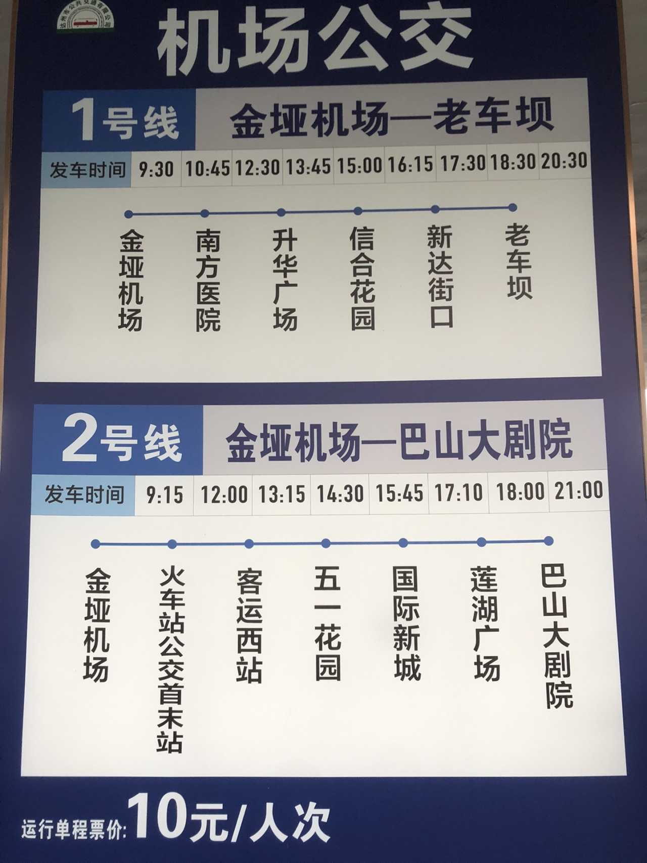
Why detour through Dazhou? Flights from Shanghai to Chengdu on October 24 were sky-high. Transiting through Dazhou not only saved money but also let me explore this eastern Sichuan city. Dazhou Jinya Airport has dedicated buses to the city center (Line 1) or the train station (Line 2) for just 10 RMB per person. In a hurry? Carpool for 20 RMB per person.
Day 1: Chengdu → Tianquan Service Area → Xinduqiao (Elevation 3,460m)
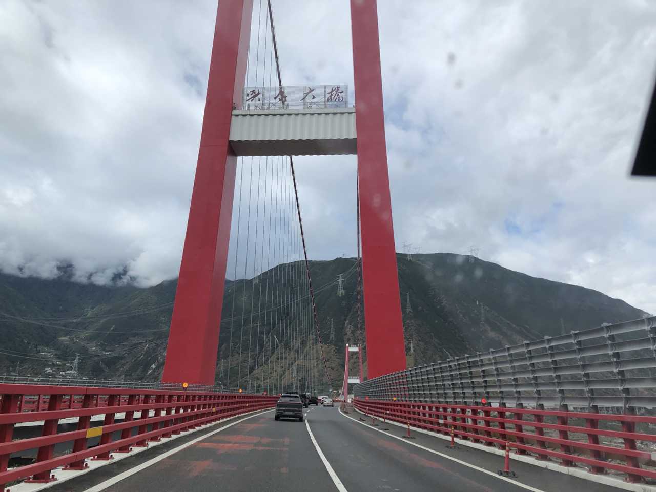
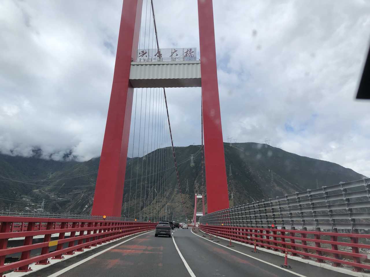
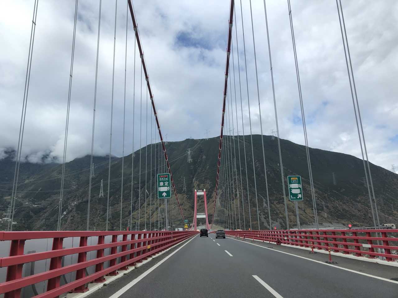
October 25, overcast. Starting from Xindu District in northern Chengdu, our convoy of seven vehicles set off: three lead cars carrying three passengers each, plus four self-driven cars following. We departed around 8:30 AM, took the Ya'an–Kangding Expressway, passed the trendy Tianquan Service Area, and crossed the Xingkang Bridge over the Dadu River.
After lunch in Kangding, we chose Provincial Road 434 over National Highway 318 to cross Zheduo Mountain. Provincial Road 434 offers better scenery but requires crossing a pass at 4,368 meters—even higher than Zheduo Pass. The 4,100-meter Selalinkou was just an appetizer. Red Sea Lake (Honghaizi) looked flat under the gray sky. At high altitude, snow began to fall. Shooting up from Chengdu's 500 meters to 4,368 meters, I started feeling drowsy.
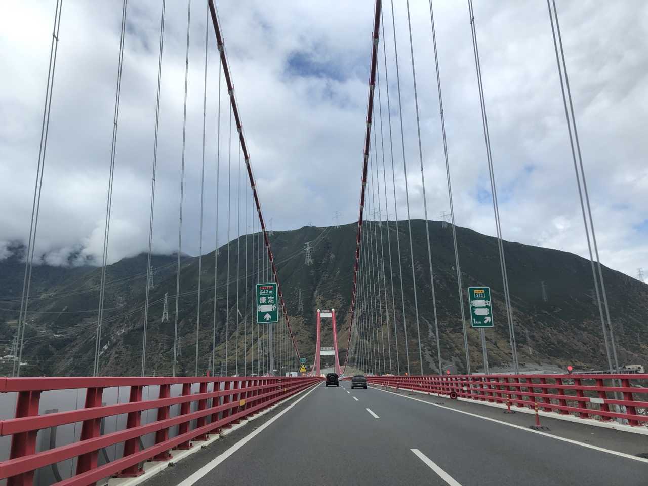
We stayed overnight in Xinduqiao, elevation 3,460 meters. The headache from altitude sickness arrived right on schedule, but it was bearable.
Pro Tip: If you're exploring Western Sichuan on your own, spend your first night in Kangding at 2,300 meters to acclimate. Following a guide for itinerary efficiency, we went straight to Xinduqiao.
That evening, we watched a Guozhuang dance performance—a first taste of Tibetan culture.
Day 2: Xinduqiao → Yajiang (Elevation 2,640m)
October 26, clear skies turning to heavy snow. We planned to visit Jiagenba for colorful forests but had to turn back due to road closures. Instead, we took Provincial Road 434 to Gedilamu, the "Sky City."
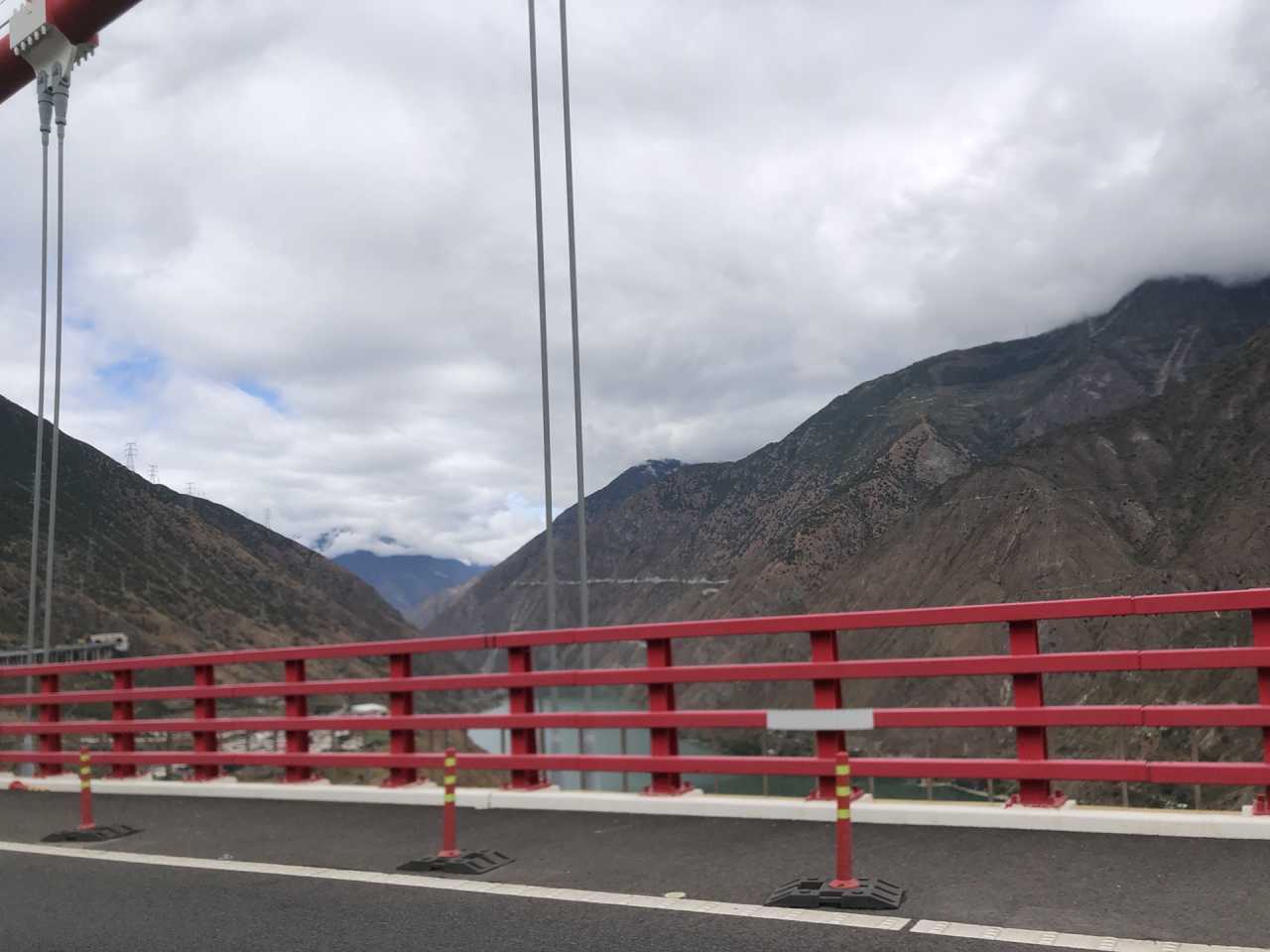
Along the way, we encountered pilgrims prostrating themselves every three steps, heading to Lhasa. The power of their faith left me silent. The autumn colors along the roadside were deepening, but our guide said this was just an "appetizer." We turned left onto a winding mountain road, climbing to the Sky City at 4,200 meters. From there, we could see Qingrao Sacred Mountain and Gongga Snow Mountain in the distance—but clouds blocked Gongga.
After descending, we headed to the Yarla Viewing Platform. The autumn colors were at their peak, but sunlight was absent. My headache had disappeared—and for the rest of the trip, aside from getting winded when walking fast at high altitudes, I felt no physical discomfort. Unfortunately, heavy snow was falling at the summit, and Yarla Snow Mountain was hidden in thick fog. Passing by Muya Grand Monastery, the snow-covered temple looked poetic. At the entrance of Tagong Temple, Yarla still refused to appear.
Xinduqiao's autumn is like an oil painting—the "Ten-Mile Gallery" lives up to its name. We originally planned to go to Gao'er Temple for sunset views of Gongga's golden peak, but the weather didn't cooperate, so we headed straight to Yajiang. Yajiang County is built along the Yalong River Gorge—compact and charming, elevation 2,640 meters.
Day 3: Yajiang → Litang → Xiazetong Village (Elevation ~4,000m)
October 27, clear skies. Departing from Yajiang, we followed National Highway 318 through the "Eighteen Bends of the Sky Road," crossed the 4,718-meter Kazila Mountain Pass, and arrived at the "Sky City" of Litang at 4,014 meters.
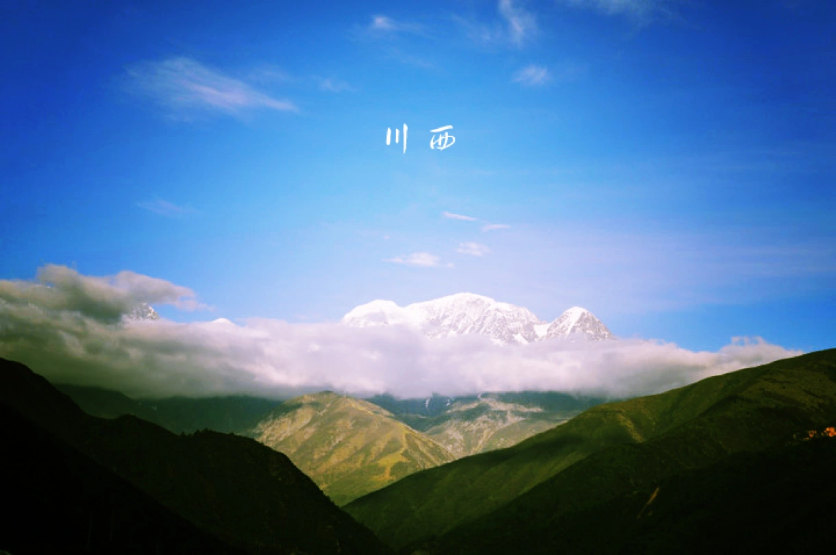
After leaving Yajiang, we wound our way up the mountain, with snow covering the peaks. The previous day's heavy snowfall across Western Sichuan had caused me to miss Yarla and Gongga, but it gave us the magnificent scenery of the snow-covered plateau—losing the east, gaining the west. At the Eighteen Bends viewing platform, we looked down at the winding mountain road. The snow-draped peaks stretched out like a majestic canvas. National Highway 318 truly deserves its reputation as a scenic highway.

At the Kazila Pass, over 4,700 meters, I had to move slowly and suppress my excitement. After crossing, we descended, and the snow gradually thinned. Passing through Honglong Town and Kela Township, we reached Litang by noon. After lunch, we strolled through the ancient town of Letong—a quick photo op. At the West Gate, the towering mountains made "Sky City" feel like the perfect name.
Leaving Litang, the road forked: straight ahead on Highway 318 to Batang, or take Provincial Road 460 via Genie Town to Batang—the famous "Genie Southern Route." We took the latter, heading to Xiazetong Village for the night. Climbing up again, we reached the Iron Smith Pass at 4,770 meters. After descending, forests, meadows, and streams appeared—it felt like Xinjiang.
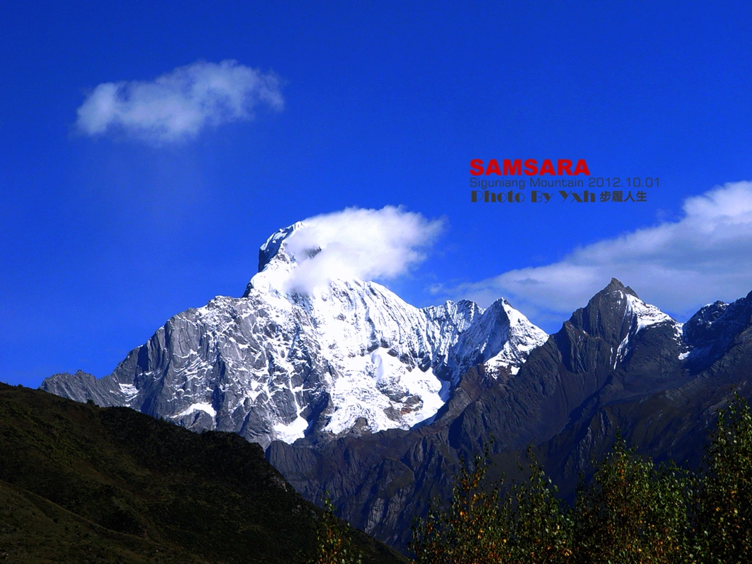
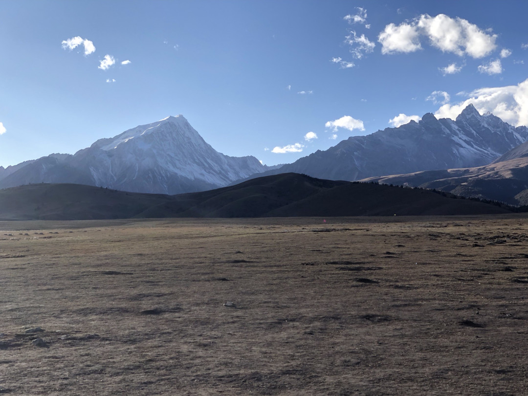
Turning onto a village road, narrow passages made passing other vehicles tricky. In the distance, Mount Cameroon Peak rose. At the summit, a vast meadow was surrounded by seven snow-capped mountains, the most imposing being Mount Genie (6,174.5 meters, the third-highest peak in Sichuan) and Mount Cameroon (5,965 meters).
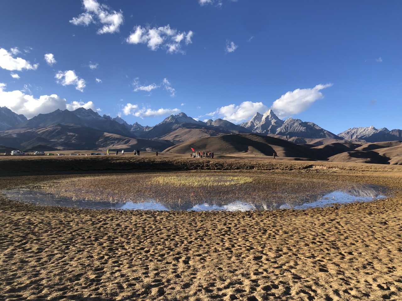
Then came "Genie's Eye" —a lake in the alpine meadow. At first glance, it seemed plain, but when I walked to the other side, I saw the snow mountains reflected in the water—a breathtaking scene. As dusk fell, I captured "Genie's Eye" from different angles in the twilight, then descended to check into Xiazetong Village.
Day 4: Xiazetong Village → Batang (Elevation 2,580m)
October 28, partly cloudy. Today, we would cross the highest point of this trip—Zawala Pass, nearly 5,000 meters.
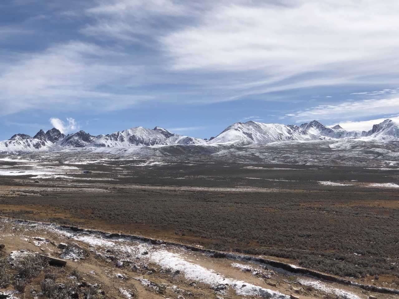
At dawn, it was -5°C, and I bundled up in my down jacket. At 7:21 AM, the summit of Mount Genie glowed faintly gold; by 7:30, the entire peak was bathed in sunrise light. The whole process was brief but utterly stunning.
After breakfast, we set off...
(The article continues with Days 5-8, covering Batang, the Genie Southern Route, and the return to Chengdu.)
Frequently Asked Questions (FAQ)
1. What is the best time to do the Western Sichuan Grand Loop?
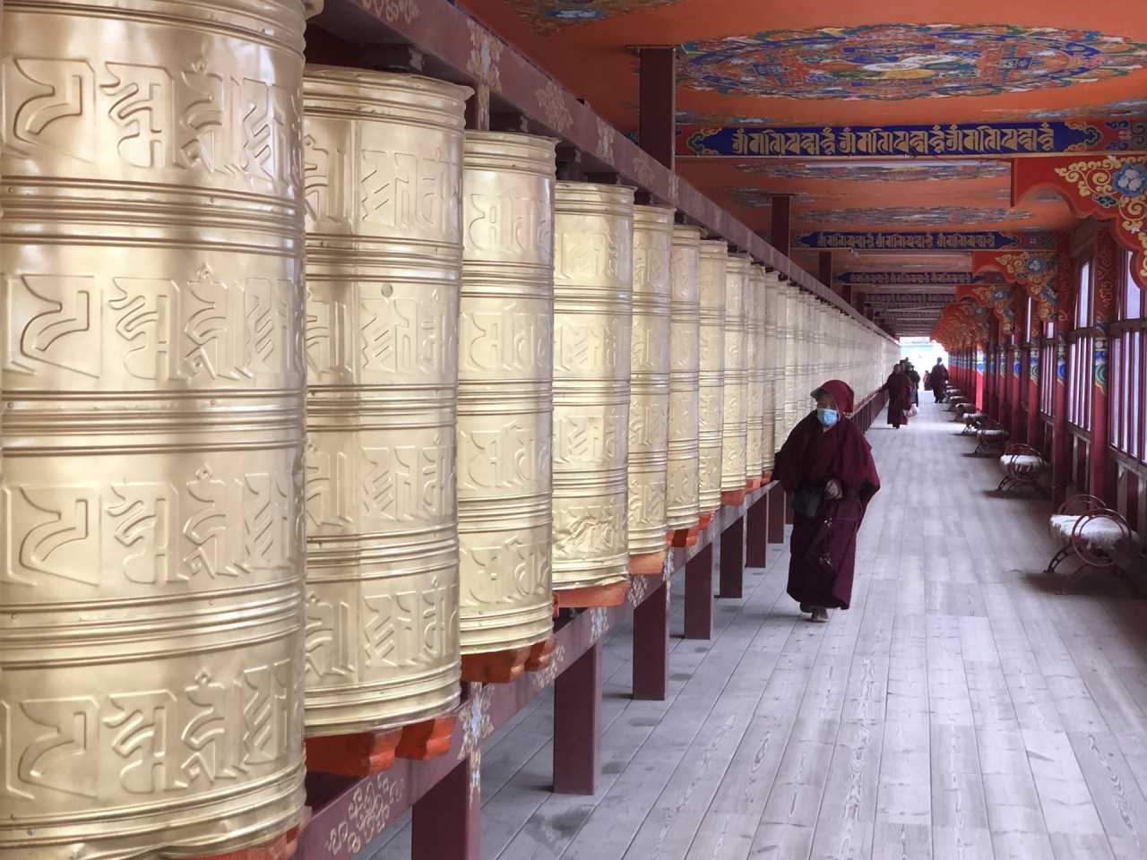 The best time is late October to early November for autumn colors. The weather is crisp, the skies are clear, and the golden leaves are at their peak. However, be prepared for sudden snow at high passes.
2. Is the Western Sichuan Grand Loop suitable for beginners?
 Yes, if you follow a guided itinerary. The route includes high passes over 4,700 meters, but with proper acclimatization (spending the first night in Kangding at 2,300m), most people can handle it. Driving yourself is not recommended for beginners due to narrow roads and unpredictable weather.
3. What should I pack for a Western Sichuan trip?
 Pack layers (thermal base, fleece, down jacket), a windproof outer shell, sun protection (sunglasses, sunscreen, lip balm), altitude sickness medication (Diamox), and snacks for long drives. Don't forget a good camera for the views.
4. How do I avoid altitude sickness on this route?
 - Acclimatize: Spend your first night in Kangding (2,300m) or Yajiang (2,640m). - Hydrate: Drink 3-4 liters of water daily. - Go slow: Avoid rushing at high passes. - Medication: Consult your doctor about Diamox.
5. Can I do this loop without a guide?
Technically yes, but it's risky. The roads are narrow, GPS can be unreliable, and weather changes rapidly. A guide provides local knowledge, handles logistics, and ensures safety. If you're experienced with high-altitude driving and have a 4WD vehicle, you can attempt it. [Link: Self-driving in Western Sichuan]
Ready to Feast Your Eyes on Western Sichuan?
The Western Sichuan Grand Loop is a journey that rewards the adventurous with unforgettable views—from the golden meadows of Xinduqiao to the snow-capped majesty of Mount Genie. It's a route where your eyes feast, but your body doesn't suffer—if you plan wisely.
Don't let another year pass you by. Whether you join a custom tour or plan your own itinerary, start preparing now. The autumn colors won't wait forever.
👉 [Book Your Western Sichuan Adventure Today] or [Download Our Free Western Sichuan Packing Checklist]
Have you done the Western Sichuan Grand Loop? Share your experience in the comments below!
Internal Linking Suggestions: - [Link: Best time to visit Sichuan] - [Link: Altitude sickness prevention tips] - [Link: Sichuan road trip essentials] - [Link: Top Tibetan monasteries in Western Sichuan] - [Link: How to choose a Sichuan tour guide]