Western Sichuan's Genie South Route: A Summer Adventure at 4,600 Meters with Snow Mountains, Flower Seas, and Yaks
Meta Description: Discover the Genie South Route in Western Sichuan—a summer paradise at 4,600 meters. Explore snow mountains, flower seas, and yaks on this off-the-beaten-path adventure. Tips on altitude sickness, driving, and hidden gems.
Introduction: Why I Chose the Genie South Route Over Crowded Tourist Spots
Last summer, I planned a trip to Georgia, but everywhere I looked, travelers kept saying, "The scenery there is nothing compared to our Xinjiang or Western Sichuan." So, I decided to explore my own country's grand landscapes. Western Sichuan immediately came to mind—though honestly, the fact that flights to Xinjiang were too expensive also played a part.
I opened Little Red Book (Xiaohongshu) and searched "Western Sichuan." The images were breathtakingly beautiful—snow-capped peaks, endless meadows, and vibrant flower seas. (Only later did I realize most of those stunning photos relied on drones.)
Initially, I thought this would be an easy trip: cheap flights, affordable car rentals, well-established routes like Four Sisters Mountain, Jiuzhaigou, Seda, and Daocheng Yading. Everyone was doing 5-day mini loops or 7-day grand loops. I started to worry: Would it be as crowded as a tour group?
Well, as it turned out, I didn't visit a single one of those famous spots.
While researching routes, Little Red Book started pushing "Genie South Route" to me, claiming it was "the ceiling of Western Sichuan." I admit it—I'm easily swayed by clickbait titles. Snow mountains, meadows, flower seas... How high was the altitude? Not a word mentioned. In those vlogs, bloggers were running and jumping around like they were locals.
When I actually started planning the route, problems arose: Should we take the Genie South Route forward or reverse? Can a city SUV handle the pothole roads? "Don't enter Sichuan during rainy season"? You were pushing the Genie South Route on me without mentioning that July and August are the rainy season! Yajiang prone to mudslides? Lots of falling rocks on Genie mountain roads? Altitude sickness? Worst case, we'd just spend 8 days in Chengdu.
In the end, the two of us embarked on this "kid-free adventure."
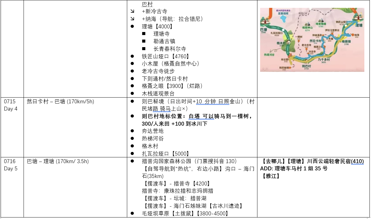
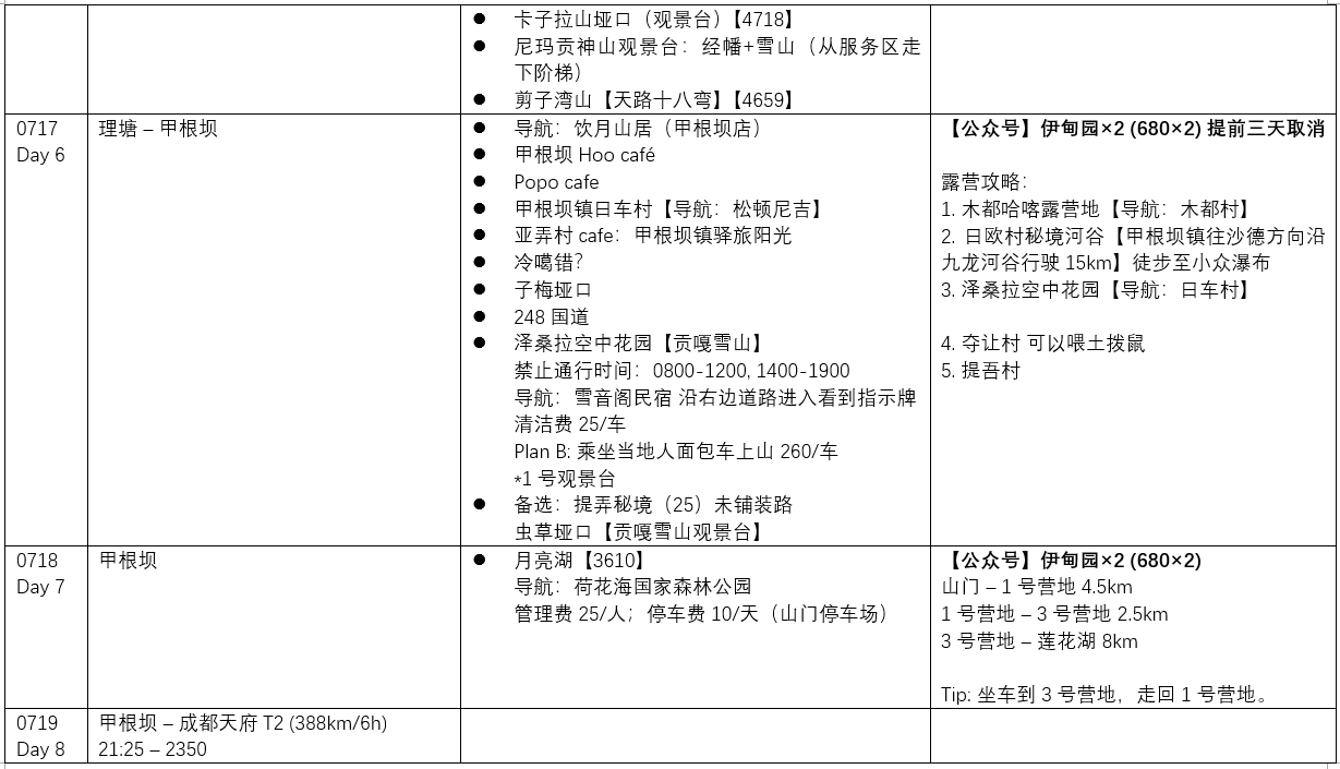
Simplified Itinerary for the Genie South Route
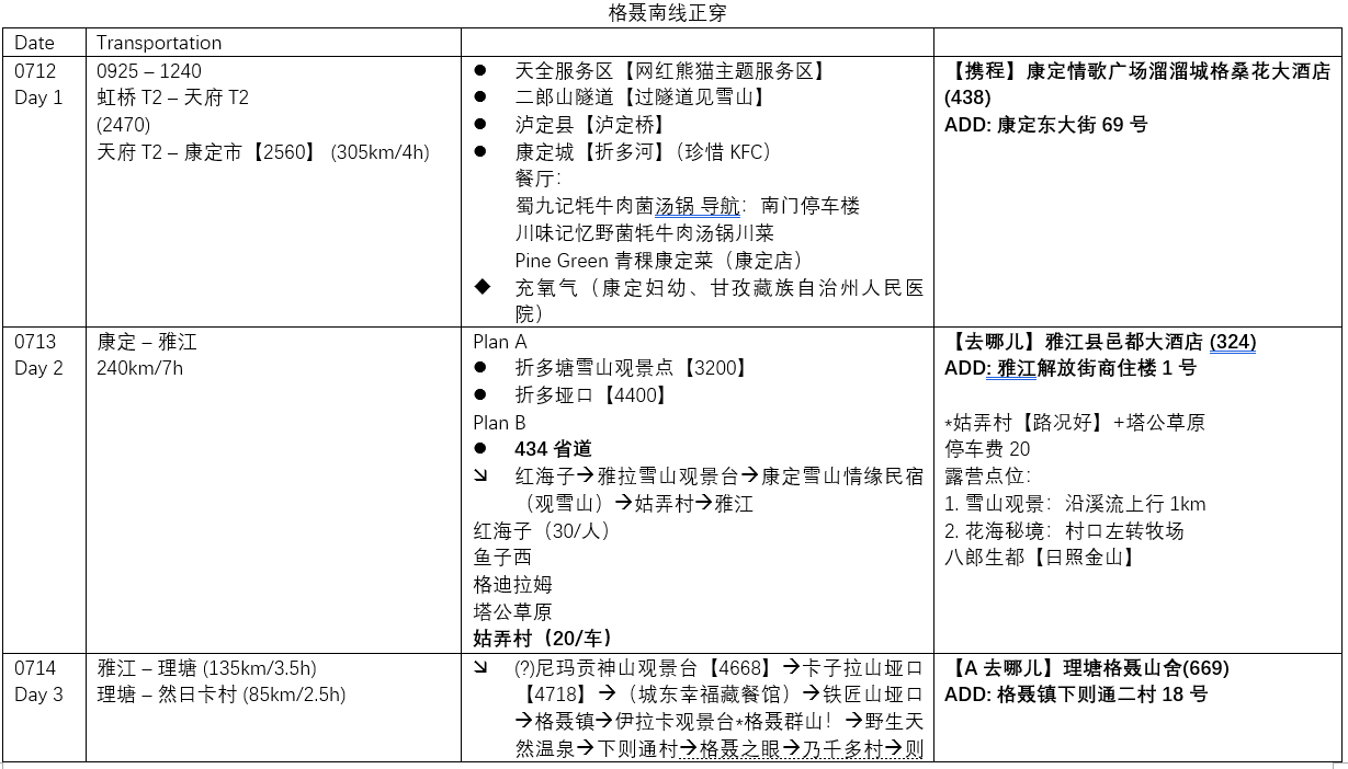
- Day 1: Shanghai → Chengdu → Kangding (altitude 2,600m)
- Day 2: Wandering at 4,600m, viewing the Gongga Mountains
- Day 3: Entering the Genie South Route, staying at Xiazetong Village
- Day 4: The main event of the Genie South Route
- Day 5: Cuopugou National Park
Day 1: From Shanghai to Kangding—The "Pressure" at 2,600 Meters
Shanghai Hongqiao to Chengdu Tianfu—I later realized that Tianfu Airport is Shanghai's Pudong equivalent, ridiculously far from the city center. No matter—we were heading into the mountains as soon as we landed anyway.
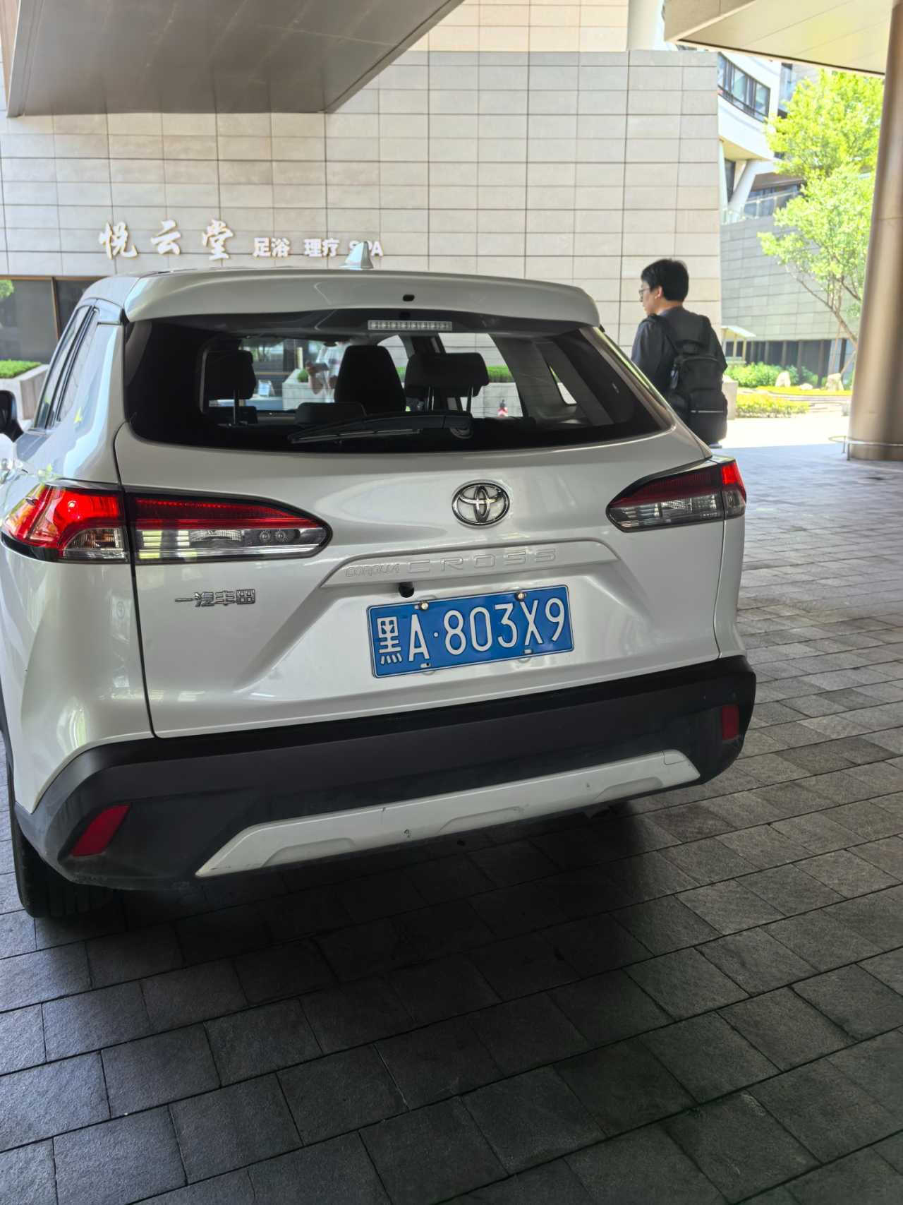
After learning about our plans, the car rental company gave us a car with out-of-province plates. Instantly, I felt like I'd become a Northeasterner.
Today's mission was simple: Arrive in Kangding. We chose Kangding for two reasons: First, at 2,600 meters, it's good for acclimatization. Second, I'd heard about the "Xinduqiao curse"—if you stay your first night in Xinduqiao, you're guaranteed altitude sickness.
Along the way, a few small spots left an impression:
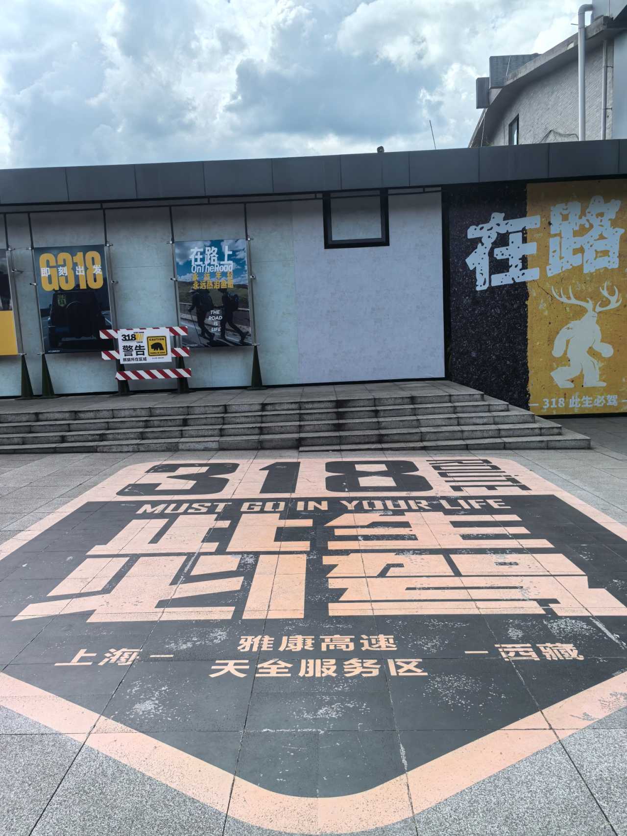
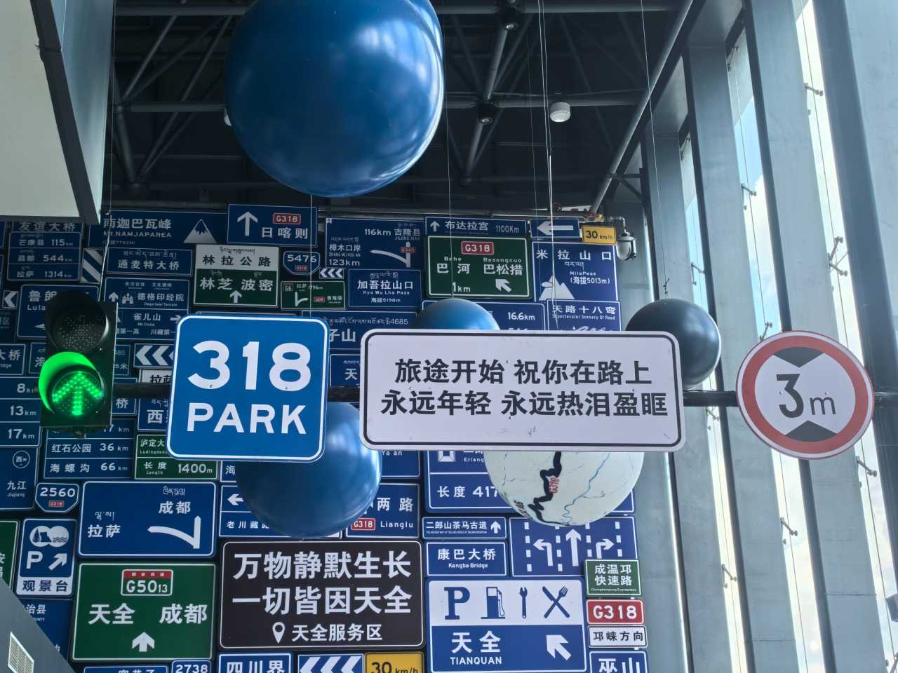
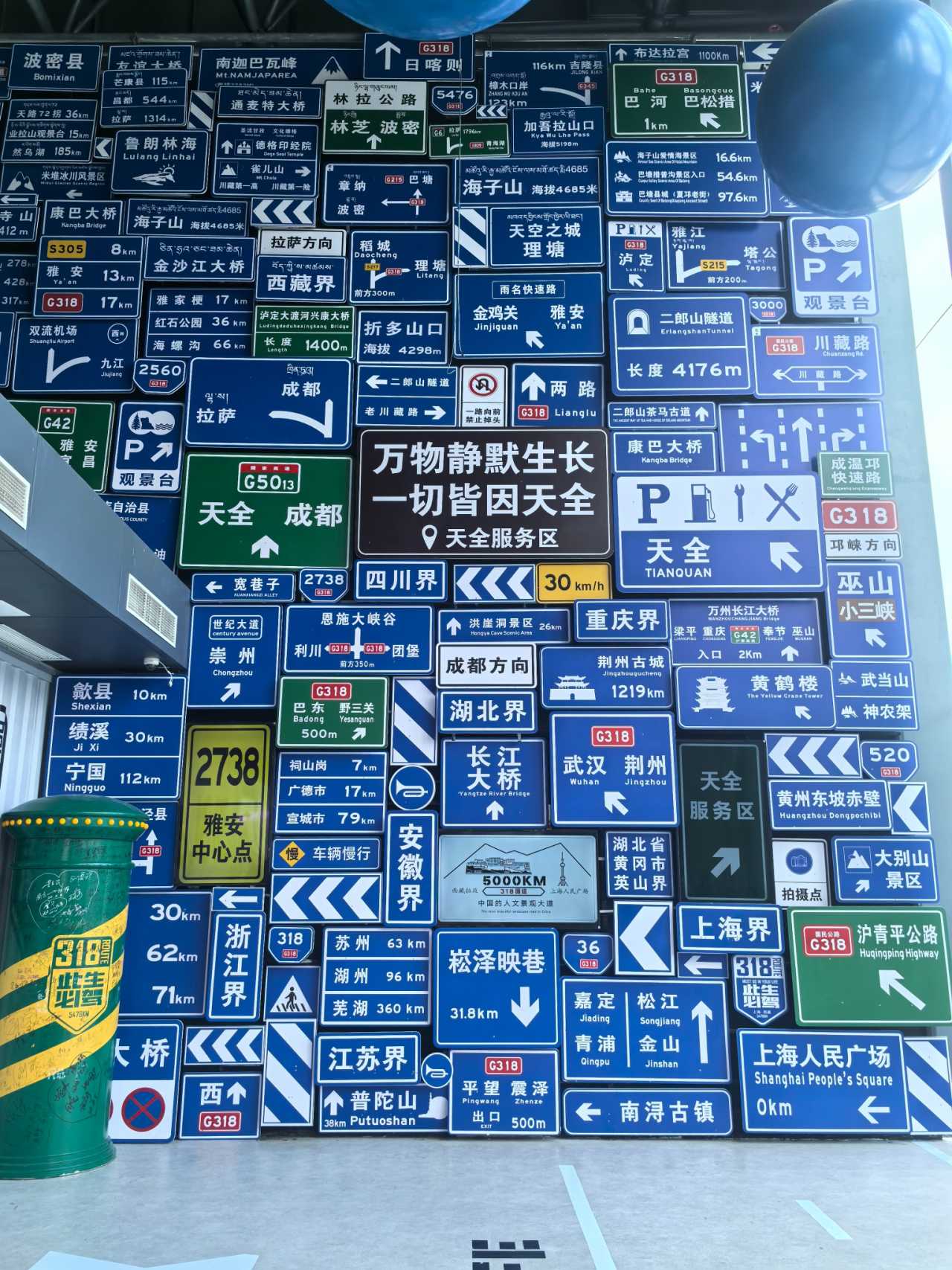
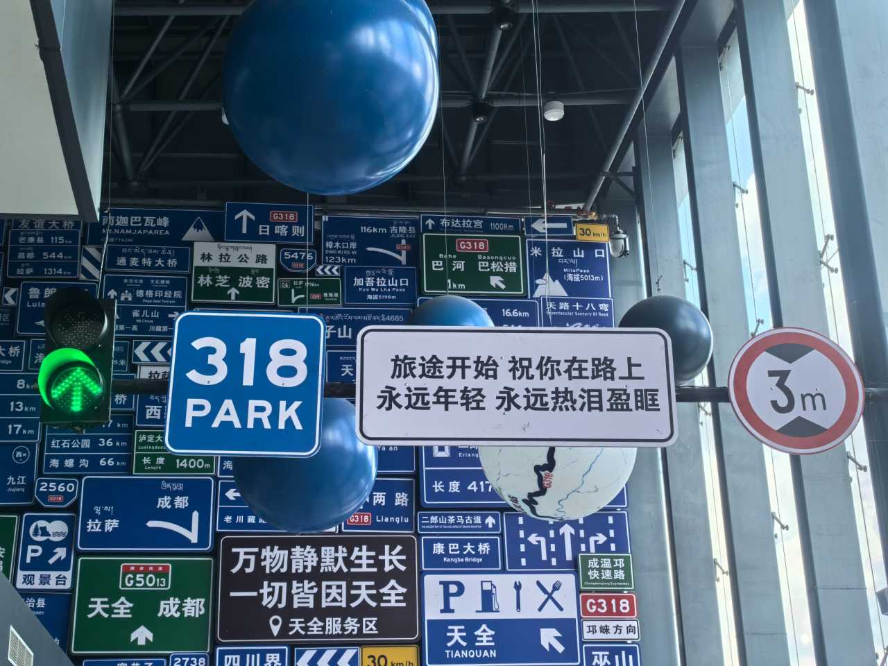
Tianquan Service Area: A famous rest stop, billed as the first stop on the Sichuan-Tibet Highway. I bought some fried potatoes. People from Yunnan, Guizhou, and Sichuan really know how to do creative things with potatoes? I didn't find it particularly special.
Erlang Mountain Tunnel: Didn't see any snow mountains passing through.
Luding Bridge: Saw it, checked it off the list.
Arriving in Kangding, the Zheduo River cut through the city, its current fierce, making everything feel noisy. Kangding is the Kangding from "Kangding Love Song," and there really is a place called "Liuliu City." Parking was a nightmare—even though we'd booked a hotel with parking spaces, they told us it was full.
We walked to the highly recommended Shu Jiuji Yak Meat Mushroom Broth Hotpot (蜀九记牦牛肉菌汤锅). At 2,600 meters, I definitely felt the incline on the uphill walk. The yak meat hotpot was delicious—the slices were tender and smooth. Every piece of yak meat after that was so tough I could barely chew it.
Back at the hotel, I checked my blood oxygen—yep, definitely on the plateau. I wouldn't call it altitude sickness, just that feeling of low air pressure.
[Link: Best places to stay in Kangding for altitude acclimatization]
Day 2: Wandering at 4,600 Meters—Viewing the Gongga Mountains
Today's route: Head north from Kangding, visit Red Lake (Honghaizi) and the Yala Snow Mountain viewpoint, then return to Highway 318 and stay in Yajiang.
There were many scenic spots to the north: Yuzixi, Gedilamu, Gunong Village... We skipped them all. To see the Gongga Mountains, we chose Kanshan Coffee (瞰山咖啡)—highly recommended!
There are two ways to go north: Over the Zheduo Pass (4,400 meters, prone to traffic jams), or via Provincial Road 434—Kangding Airport Road—Rainbow Road, which is more altitude-friendly. We took 434, and the scenery was great.
But looking back, we were too ambitious that day—constantly wandering at 4,600 meters. Our altitude sickness symptoms: out of breath after just a few steps, and I'd get dizzy, with everything going black before my eyes.
The Oxygen Refill "Scam"

Before leaving Kangding, we went to get our oxygen bags refilled. We went to the Ganzi County People's Hospital. Before our journey had even really started, we fell into a trap—I later found online posts from others who'd been scammed the same way.
Since there was nowhere to park, I went alone to refill the oxygen. The hospital outpatient hall wasn't open. A "staff member" said it was Sunday and the place was closed, but he could take me to the third floor to refill. No registration needed—he just opened a hospital room door and filled the oxygen bags from the bedside tank. The refill was shockingly fast. By the time he said "20 yuan a bag," he was already filling the second one. In the end, it was a personal payment QR code.
But the oxygen bags actually worked! As I breathed in, the pulse oximeter reading shot up.
Red Lake (Honghaizi): First Encounter at 4,200 Meters
Lots of people come here to check in, but in the morning it's backlit, and the lake isn't much to look at. Gazing at the distant snow mountains, there were quite a few clouds. I saw my first dry pit toilet—I didn't go in, but Huanhuan's dad was in shock.
Some Mountain Pass: Pressure at 4,400 Meters
Almost 200 meters higher than Red Lake, the feeling was completely different. After parking, I saw wooden stairs and wanted to climb up for a look—impossible. The sun was blinding, everything went black. I struggled to the top of the stairs, only to find more climbing ahead. I gave up immediately.
Huanhuan's dad asked the vendor, "What's there to see here?" The vendor replied, "It's just the altitude here." I took a few distant glances, got winded after two steps, and slowly walked back to the car.
Rainbow Road and the Gongga Mountains
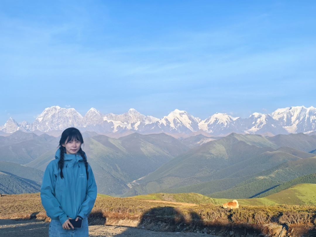
As we drove, Rainbow Road appeared—Kangding Airport Road. Looking into the distance—wow, the Gongga Mountains. This is the kind of view that makes all the altitude discomfort worth it.
[Link: Best viewpoints for Gongga Mountains photography]
Day 3: Entering the Genie South Route—Staying at Xiazetong Village
After a restful night in Yajiang, we set off for the Genie South Route proper. The road conditions were challenging—potholes, gravel, and occasional mudslides. Our city SUV handled it, but barely. If you're planning this route, consider renting a high-clearance vehicle.
We arrived at Xiazetong Village in the late afternoon. This small settlement at 3,800 meters is the gateway to the Genie South Route. The village is surrounded by flower seas—wild rhododendrons, edelweiss, and countless unnamed blooms. Yaks roam freely, their bells clanking softly.
The homestay was basic but warm. The owner served us yak butter tea and tsampa (roasted barley flour). I slept better than expected, though the altitude made my heart race.
[Link: What to pack for the Genie South Route]
Day 4: The Main Event of the Genie South Route
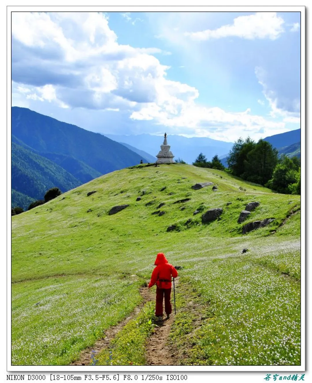
Today was the climax of our trip—the Genie South Route at 4,600 meters. The landscape unfolded like a dream: snow-capped peaks piercing the sky, flower seas stretching to the horizon, and yaks dotting the meadows.
We started early to avoid afternoon clouds. The trail led us through alpine meadows carpeted with yellow and purple flowers. In the distance, the Genie Mountains stood majestic, their glaciers glinting in the morning sun.

At the highest point, 4,600 meters, I felt both exhilarated and breathless. The air was thin, but the view was worth every gasp. We sat on a rock, eating our packed lunch—yak jerky, flatbread, and an apple. A yak wandered nearby, curious but unbothered.
The descent was easier, but the altitude still made every step a challenge. We took frequent breaks, sipping water and checking our pulse oximeters.
[Link: Altitude sickness prevention tips for Western Sichuan]
Day 5: Cuopugou National Park—A Hidden Gem
Our final day was dedicated to Cuopugou National Park, a lesser-known gem in Western Sichuan. The park features pristine forests, turquoise lakes, and snow-capped peaks. It's less crowded than Jiuzhaigou but equally stunning.
We hiked to the main lake, which reflected the surrounding mountains like a mirror. The trail was well-maintained but steep in parts. At 3,500 meters, the altitude was manageable.
We left Cuopugou in the late afternoon, driving back to Kangding. The Genie South Route had delivered everything it promised—snow mountains, flower seas, and yaks—but with a healthy dose of reality: altitude sickness, rough roads, and the occasional scam.
FAQ: Planning Your Genie South Route Adventure
Q: What is the best time to visit the Genie South Route? A: The ideal time is June to September, when flower seas are in full bloom and weather is relatively stable. However, July and August are the rainy season, so expect afternoon showers and potential road closures.
Q: Do I need a 4x4 vehicle for the Genie South Route? A: A city SUV can handle most of the route, but a high-clearance vehicle is recommended. The roads are unpaved, with potholes, gravel, and occasional mudslides. Consider renting a 4x4 for peace of mind.
Q: How do I prevent altitude sickness on the Genie South Route? A: Acclimatize gradually—spend your first night at 2,600m (Kangding) before ascending higher. Stay hydrated, avoid alcohol, and carry portable oxygen. If symptoms worsen, descend immediately.
Q: Is the Genie South Route suitable for beginners? A: Not recommended for first-time high-altitude travelers. The route reaches 4,600 meters, and the roads are challenging. Experienced trekkers and self-drive enthusiasts will enjoy it most.
Q: Can I visit the Genie South Route without a guided tour? A: Yes, self-driving is common. However, research the route thoroughly, download offline maps, and carry emergency supplies. Cell service is limited in remote areas.
Conclusion: Your Western Sichuan Adventure Awaits
The Genie South Route is not for everyone. It demands physical endurance, careful planning, and a tolerance for discomfort. But for those who answer its call, it offers an unmatched experience: snow mountains at dawn, flower seas in bloom, and yaks wandering freely at 4,600 meters.

If you're ready to trade crowded tourist spots for raw, untamed beauty, start planning your Genie South Route adventure today. Pack your bags, rent a 4x4, and prepare for the journey of a lifetime.
Ready to explore Western Sichuan's hidden gems? [Link: Book your Genie South Route trip now] or [Link: Download our complete Western Sichuan travel guide]
Have you visited the Genie South Route? Share your tips and experiences in the comments below!
You may also like