Western Sichuan Photography Guide: Capture the Soul of the Plateau on a 7-Day Loop
Meta Description: Discover the ultimate Western Sichuan photography guide. Explore Siguniangshan, Yala Snow Mountain, and Xinduqiao on a 7-day loop. Slow down, let the scenery enter your heart.
Introduction: Why Western Sichuan Is a Photographer's Dream
Some say Western Sichuan is an insatiable craving, and travel a sickness that can never be cured. But I'd argue: instead of treating travel as a seasoning for life, why not live it as life itself? When your tires grind over winding mountain roads, when morning light spills across the edges of snowy peaks, when the stars unfurl above your head—you'll realize that the once-unreachable wonders are slowly, gently coming within your grasp.

We spend our days rushing through endless cycles, believing arrival is the destination, thinking escape is the only relief. But true departure has never been about covering distance—it's about encounter. Encountering the grandeur and tenderness of mountains, the coldness and warmth of snowy peaks, the intensity and blaze of sunset clouds, the brilliance and solitude of stars, and the strangers who brush past you, each carrying their own story.
No single landscape can sum up an entire life. But when countless scenes meet unexpectedly along the journey, they gather into the most precious memories we carry. Travel won't change you overnight—but every departure, every pause, leaves a trace in your heart. Eventually, those traces become the dawn that belongs only to you, painted across the horizon.
So from today onward: don't rush the road. Feel the road.
Why Is Western Sichuan Worth Returning to Again and Again?
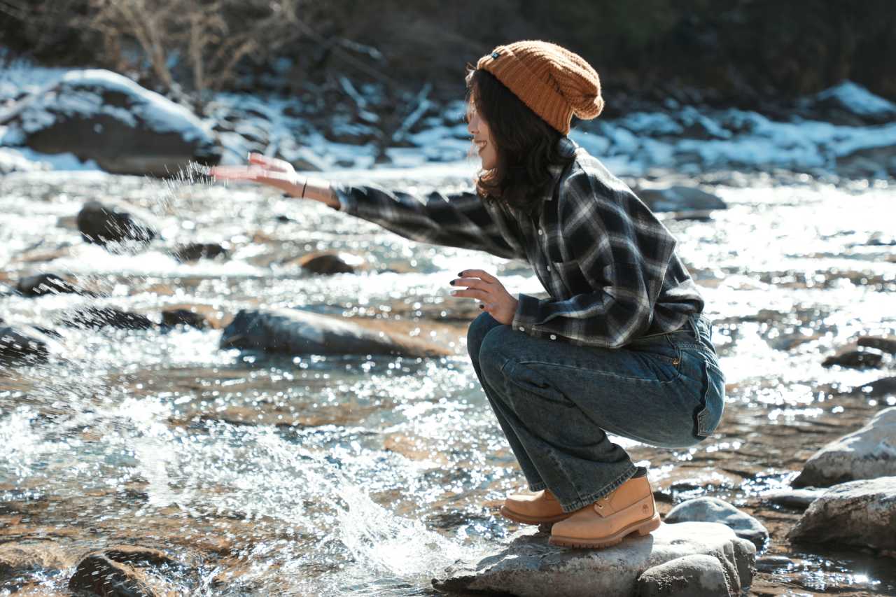
Western Sichuan—this land blessed by sun, moon, and stars—is a paradise for photography enthusiasts and nature explorers. Even after multiple visits, it never fails to deliver fresh surprises. In just five days on a small loop route, I witnessed one sunrise, one starry sky, and two sunsets. Every moment made me sigh: life can truly be this beautiful.
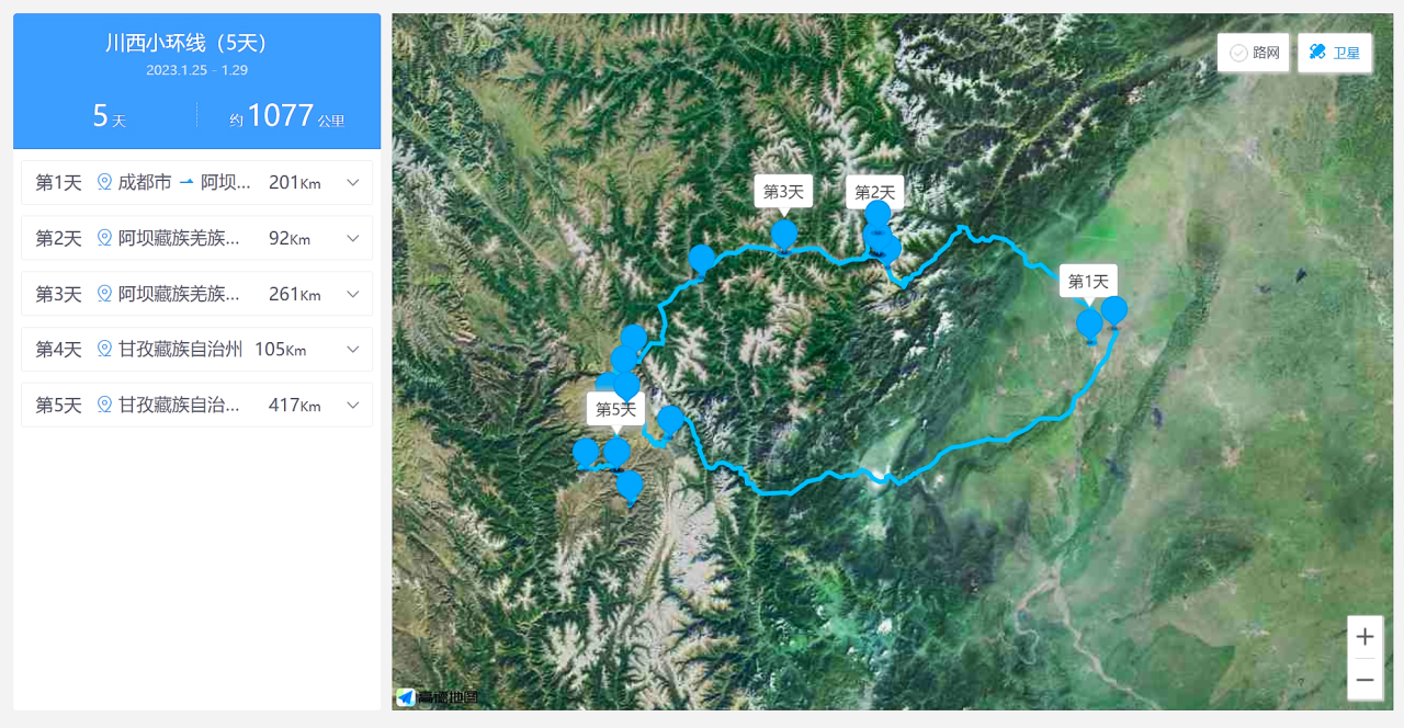
My 5-Day Itinerary at a Glance
- Day 1: Chengdu → Balang Mountain Tunnel → Siguniangshan Town (Cat's Nose Ridge for stargazing)
- Day 2: Cat's Nose Ridge sunrise → Siguniangshan Scenic Area → Xiaojin County
- Day 3: Xiaojin County → Zhonglu Tibetan Village → Yala Snow Mountain → Balangshengdu Golden Sunset → Xinduqiao
- Day 4: Xinduqiao camping & BBQ → Gongga Dressing Table Golden Sunset → Xinduqiao
- Day 5: Xinduqiao → Tagong Grassland → Red Lake → Chengdu
- Day 6: Wandering around downtown Chengdu
- Day 7: Giant Panda Breeding Research Base → Sanxingdui Museum
[Link: Best time to visit Western Sichuan for photography]
Day 1: The Joy of Empty Space, a Perfect Beginning
Departing from Chengdu, we drove northwest along the Dujiangyan-Wenchuan Expressway. Outside the window: biting wind and a lazy sun. Inside the car: lively conversation. Sometimes, strangeness makes you drop your guard and speak the words you usually keep buried. That's the magic of travel—the more unfamiliar, the more real.
Balang Mountain: A Natural Barrier
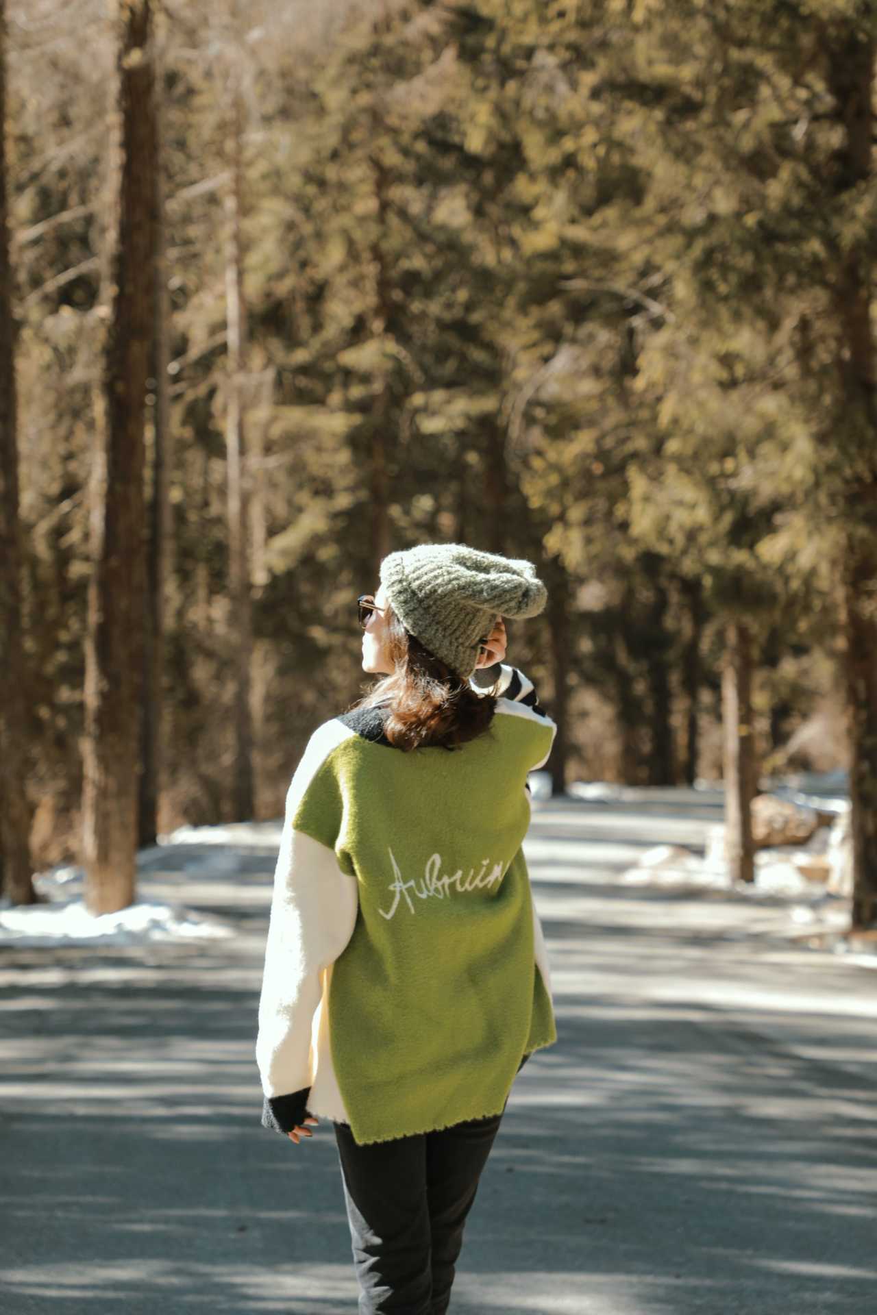
Entering Wolong territory, panda motifs greet you at every turn. Balang Mountain, stretching across the horizon, is a natural barrier between the Chengdu Plain and the Western Sichuan Plateau. Its main peak rises to 5,040 meters, with a pass at 4,523 meters. The mountain is steep, the rock faces exposed, and rockfalls and landslides are common. The place name "Ten Thousand Graves" on the map says enough about its danger.
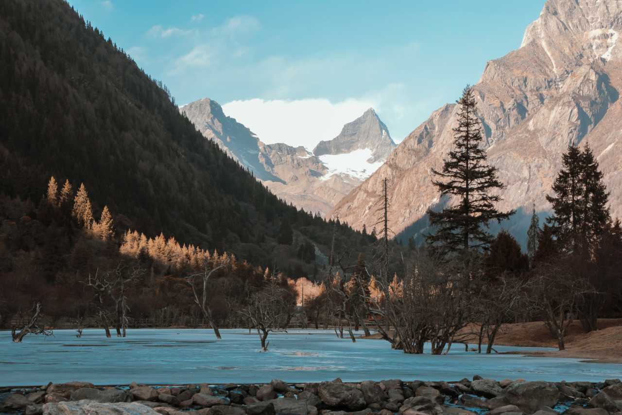
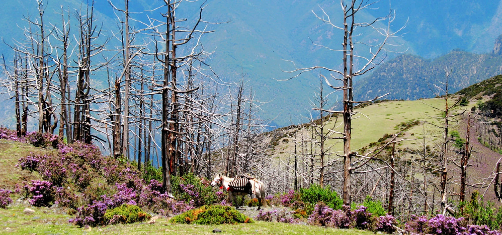
But don't worry—the Balang Mountain Tunnel (entrance elevation ~3,850 meters), opened in 2016, has greatly reduced the difficulty of crossing. If you come in summer, around 3,500 meters elevation on the mountainside, you'll see alpine meadows carpeted with wildflowers and deep primeval forests—breathtakingly beautiful.
Cat's Nose Ridge: First Glimpse of Siguniangshan
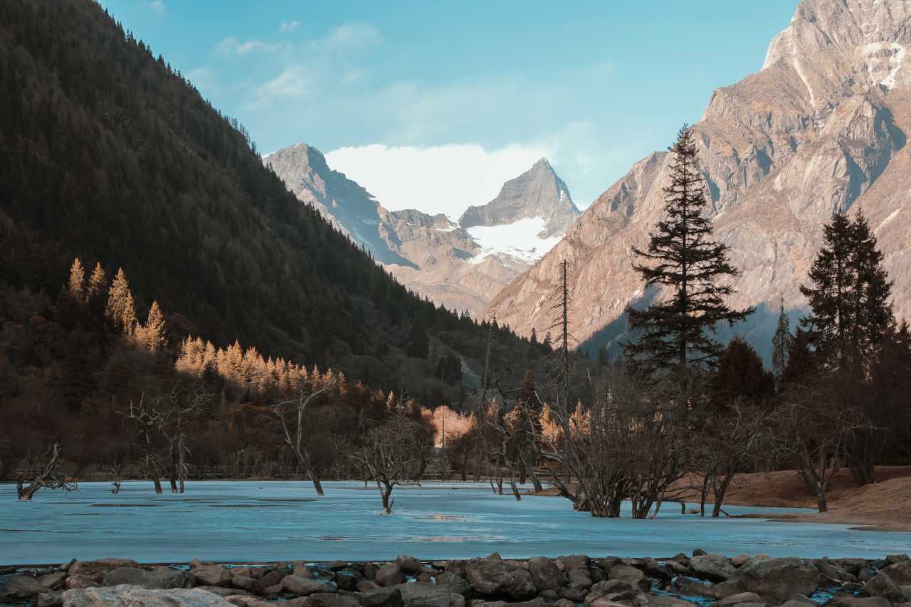
After passing through the tunnel, on the way to Siguniangshan Town, you'll encounter a viewpoint at about 3,500 meters—Cat's Nose Ridge. It's the perfect spot to take in the full panorama of the Four Sisters Mountains, especially at sunrise and sunset. Four peaks line up from north to south, with the 6,250-meter Yaomei Peak shining brightest. Coldness and shyness—two extremes—merge perfectly in her presence, leaving an unforgettable impression.
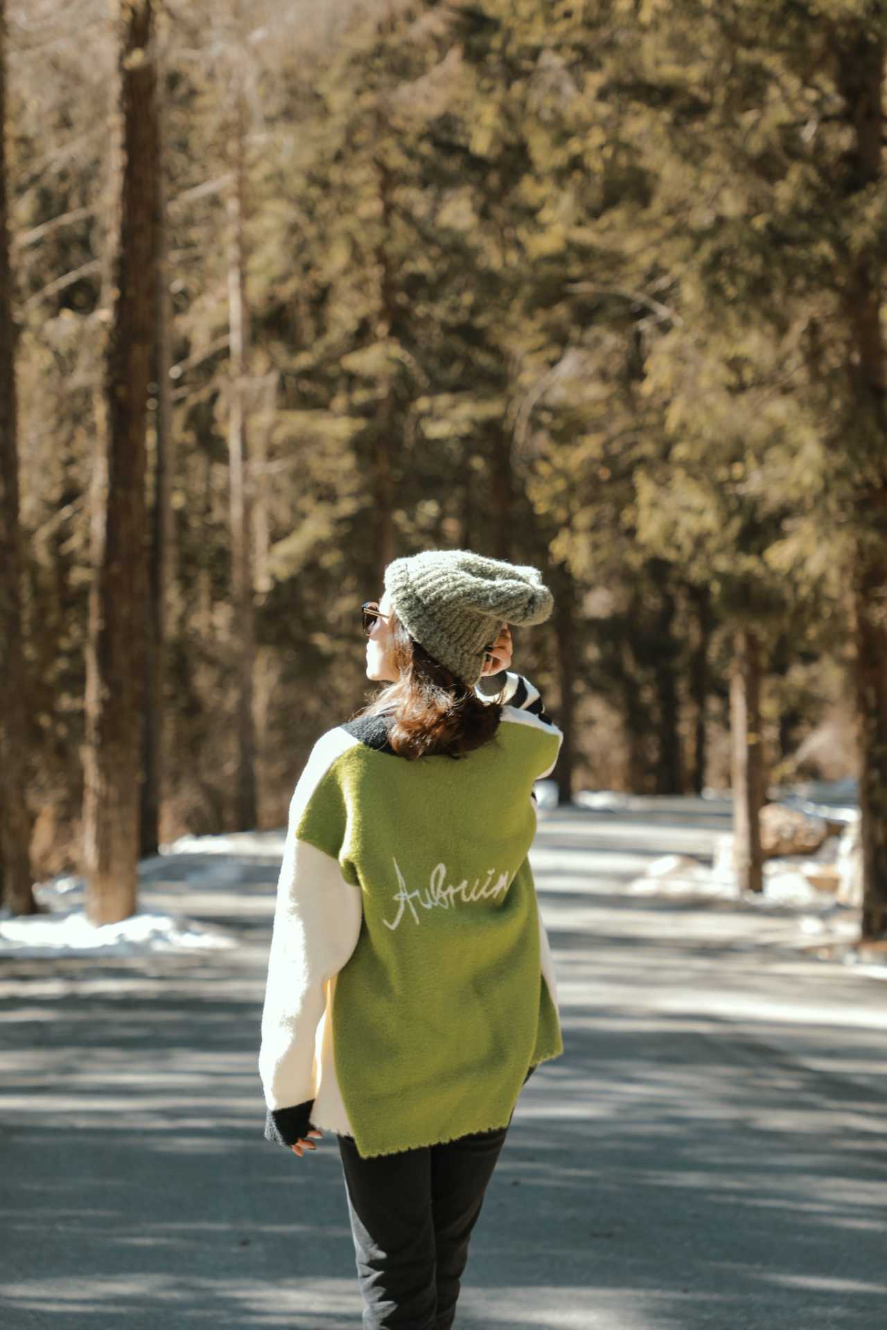
According to legend, the Four Sisters Mountains are sacred to the Jiarong Tibetan and Qiang peoples. The story goes that four sisters transformed into mountains to suppress a demon and bring peace to the land. Every year on the fourth day of the fifth lunar month, villagers dress in traditional costumes, bring butter, glutinous rice cakes, and other offerings to Guozhuangping to worship the mountain gods and pray for favorable weather.
What was supposed to be a half-day journey stretched into a full day because of a car breakdown. But when hunger struck, a bowl of steaming hot yak mushroom soup washed away all fatigue. Sometimes, warming the heart and warming the stomach are the same thing.
That night, on a hillside at over 3,500 meters, I saw a faint Milky Way slanting across the sky. It wasn't as dramatic as I'd imagined—but that only made it more addictive. That feeling of "dare not speak aloud, for fear of disturbing the heavens" filled the night with peace and serenity.
[Link: Best camera settings for astrophotography in high altitude]
Day 2: Who Adorns Whose Dreams?

In the early hours, footsteps and commotion in the hallway woke me. I didn't think much of it—figured someone had altitude sickness and was being taken to the hospital. It wasn't until the next morning's trending news—"A 5.6-magnitude earthquake struck Luding County, Ganzi Prefecture, Sichuan"—that it clicked: that was the evacuation! Our group of several people hadn't noticed a thing. Talk about being carefree.
Even stranger: if we'd followed the original clockwise plan, we would have been in Xinduqiao that night, just over 70 kilometers from the epicenter—not 160 kilometers away in Siguniangshan Town. It seems all coincidences have their reasons.
Siguniangshan Scenic Area: The Secret of Three Valleys and Four Peaks
Siguniangshan lies at the eastern edge of the Qinghai-Tibet Plateau, in the Qionglai Mountain Range, a transitional zone from the second to the first topographic step. The scenic area contains 85 snow peaks above 5,000 meters. The core attractions can be summed up as "Three Valleys, Four Peaks":
- Three Valleys: Shuangqiao Valley, Changping Valley, Haizi Valley
- Four Peaks: Yaomei Peak (6,250m), Third Sister Peak (5,355m), Second Sister Peak (5,276m), First Sister Peak (5,025m)
Yaomei Peak is the highest in the Qionglai Range and the second-highest in Sichuan, after "King of Sichuan Mountains," Gongga Mountain. Hence, she's called the "Queen of Sichuan Mountains." On clear days, you can spot her from downtown Chengdu. It brings to mind Du Fu's line: "From my window, the snow of Western Ridge for a thousand autumns"—though there's debate about which mountain "Western Ridge" refers to, it's certain that these snowy peaks have adorned countless windows and dreams in Chengdu.
Three Ways to Explore
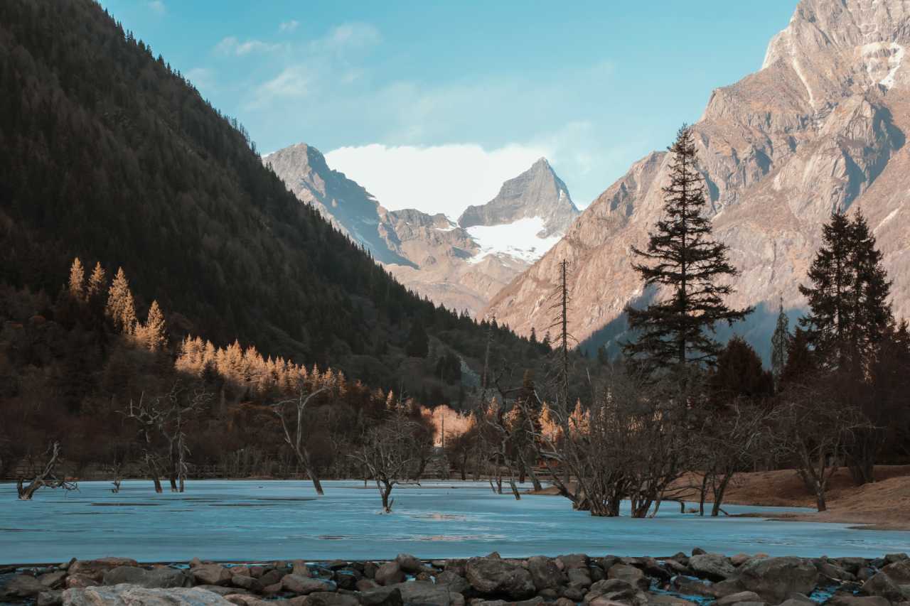
- Sightseeing Tour: Best for regular visitors—mainly Shuangqiao Valley and Changping Valley
- Outdoor Traverse: From Changping Valley through to Bipeng Valley, about 100+ kilometers, taking 2-3 days
- Mountaineering: Enter via Haizi Valley, summit First or Second Sister Peak, with a guide required
Practical Info: - Opening hours: 8:00-15:00 - Tickets: Shuangqiao Valley 80 yuan, Changping Valley 70 yuan, Haizi Valley 60 yuan - Shuttle bus: Shuangqiao Valley 70 yuan, Changping Valley 20 yuan - Outdoor ticket: 150 yuan/person/visit (base of 3 days, then 30 yuan per additional day) - Recommended: Follow the "Siguniangshan Scenic Area" official WeChat account for the audio guide feature
Shuangqiao Valley: The Easiest Option
34.8 kilometers long. Valley entrance elevation ~2,900 meters, with the Redwood Forest at the valley's end at 3,840 meters. I recommend combining shuttle bus with hiking: take the bus to the end at Redwood Forest, then work your way back to the entrance. The sections from Potala Peak to Sigunatsuo Lake, Nianyuba, Longzhucuo Lake to Cloud Mountain Service are especially photogenic.
[Link: Siguniangshan photography spots guide]
Day 3: Into the Heart of Kham
From Xiaojin County, the road winds westward toward the heart of the Kham region. This is where the landscape truly opens up—vast grasslands, distant snow peaks, and the first hints of the Tibetan Plateau's immensity.
Zhonglu Tibetan Village: A Hidden Gem
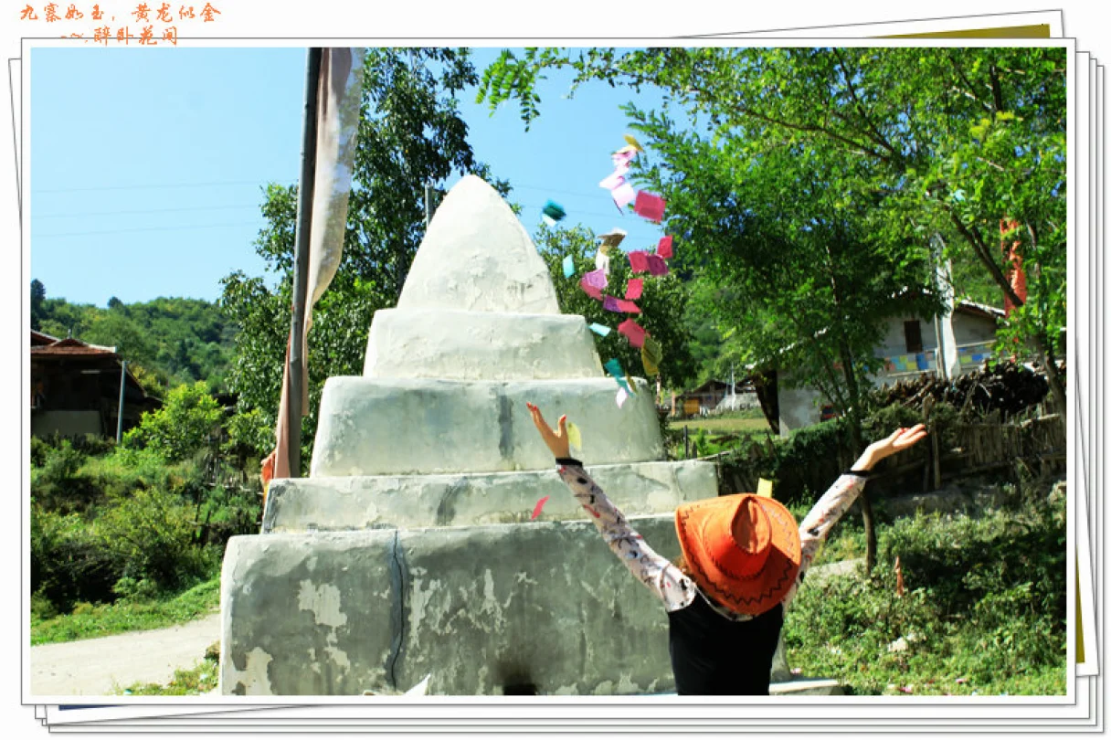
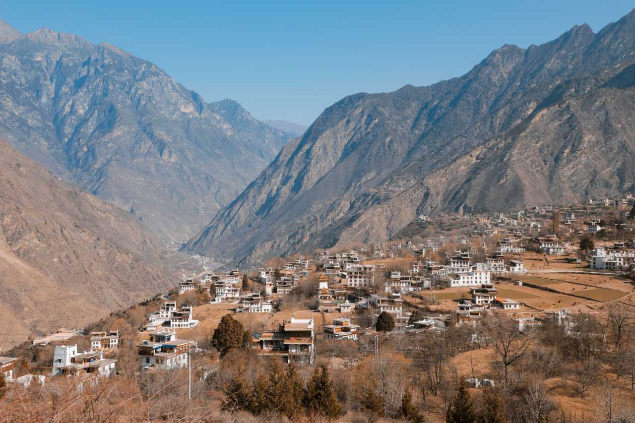
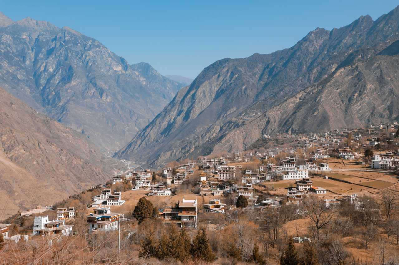
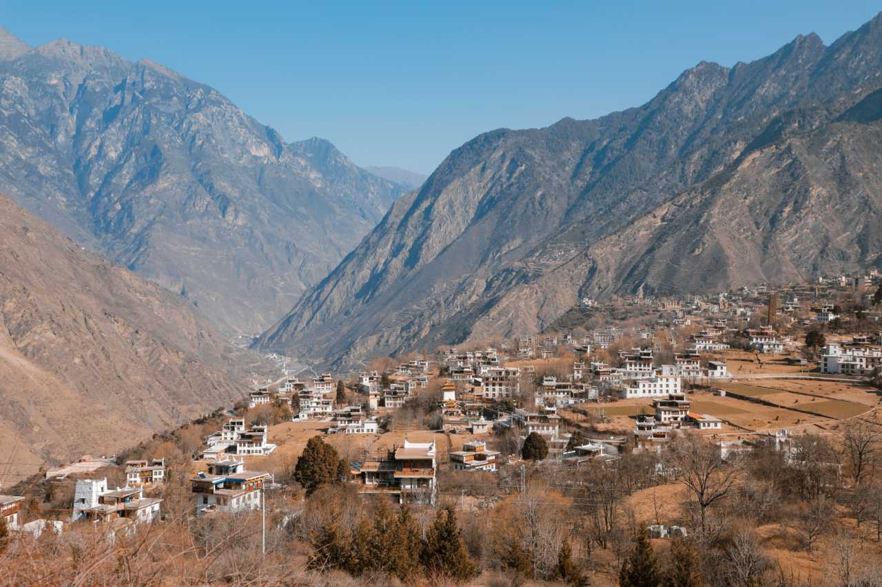
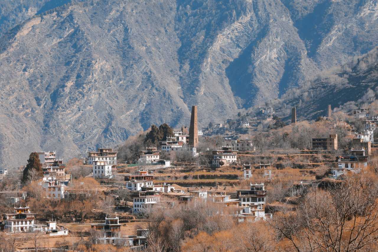
Perched on a hillside overlooking the Dadu River Valley, Zhonglu Tibetan Village is one of the most photogenic settlements in Western Sichuan. With its distinctive stone towers, white-painted homes, and prayer flags fluttering in the wind, it's a place where time seems to stand still. The village offers stunning views of the surrounding mountains, especially during golden hour.
Yala Snow Mountain: A Sacred Peak
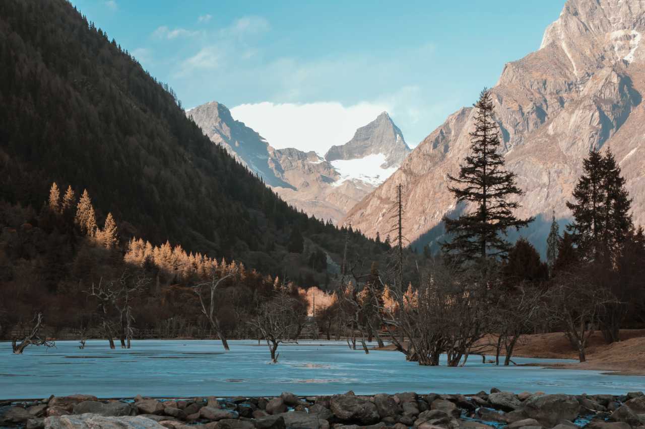
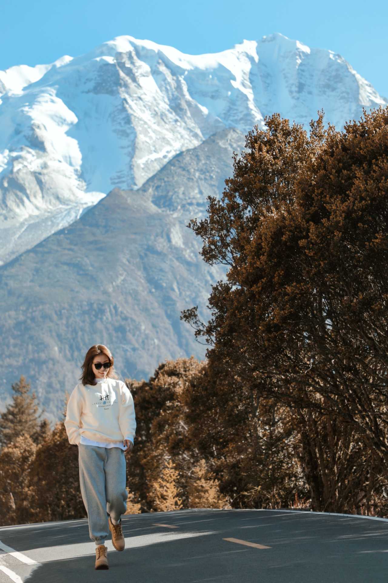
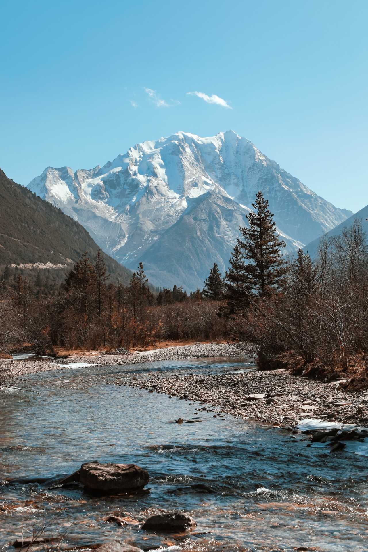
Yala Snow Mountain (5,820 meters) is one of the four sacred mountains of the Tibetan region. Its pyramid-like shape is strikingly photogenic, especially when the setting sun paints its slopes in shades of gold and pink. The best viewpoint is from the road near the Tagong Grassland area.
Balangshengdu Golden Sunset
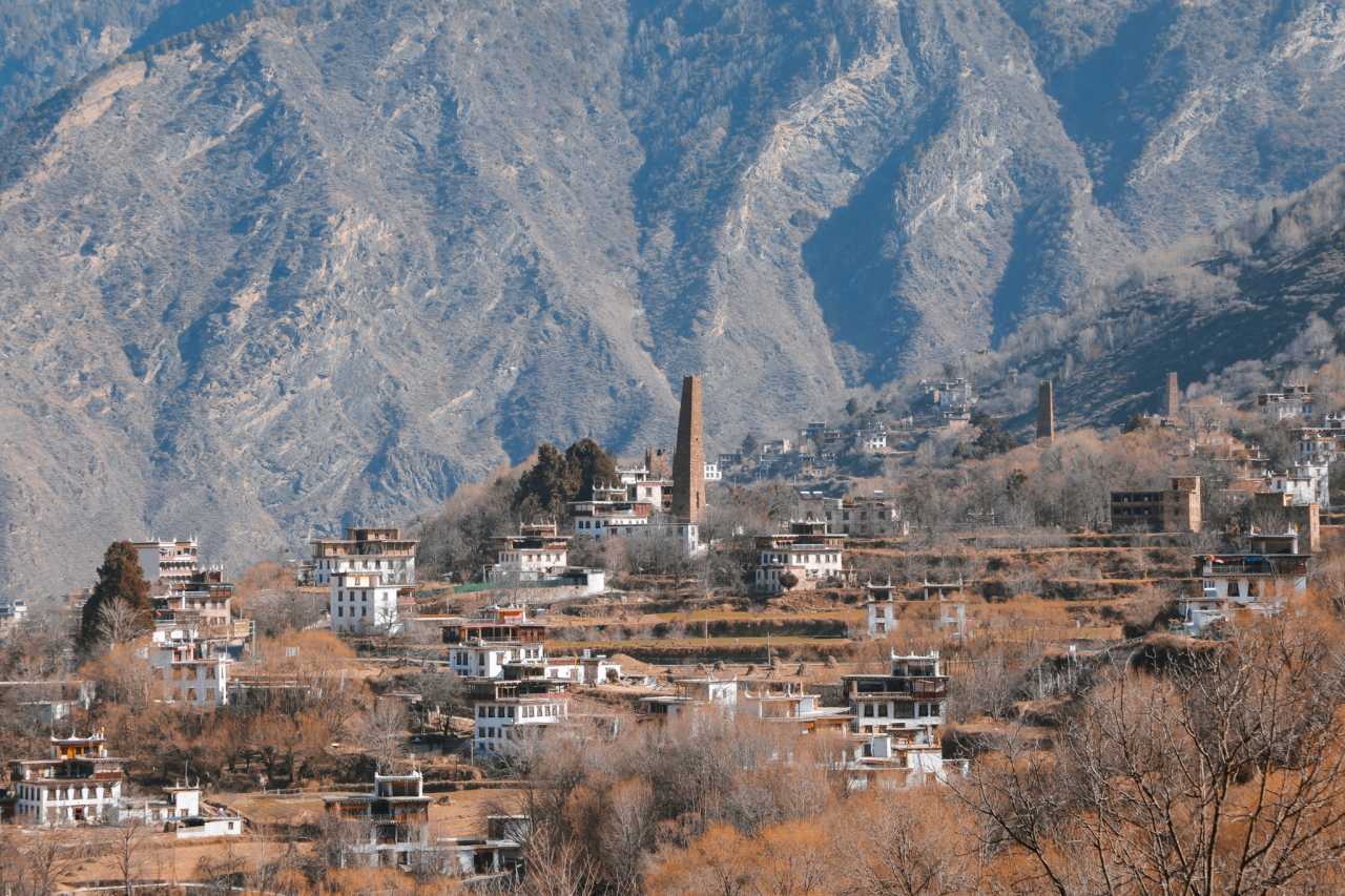
Balangshengdu, also known as the "Sunset Viewing Platform," offers one of the most spectacular sunset panoramas in Western Sichuan. From here, you can see the entire Yala Snow Mountain range bathed in alpenglow. This is a must-visit spot for any Western Sichuan photography guide—arrive at least 30 minutes before sunset to secure a good position.
Day 4: Xinduqiao—Photographer's Paradise
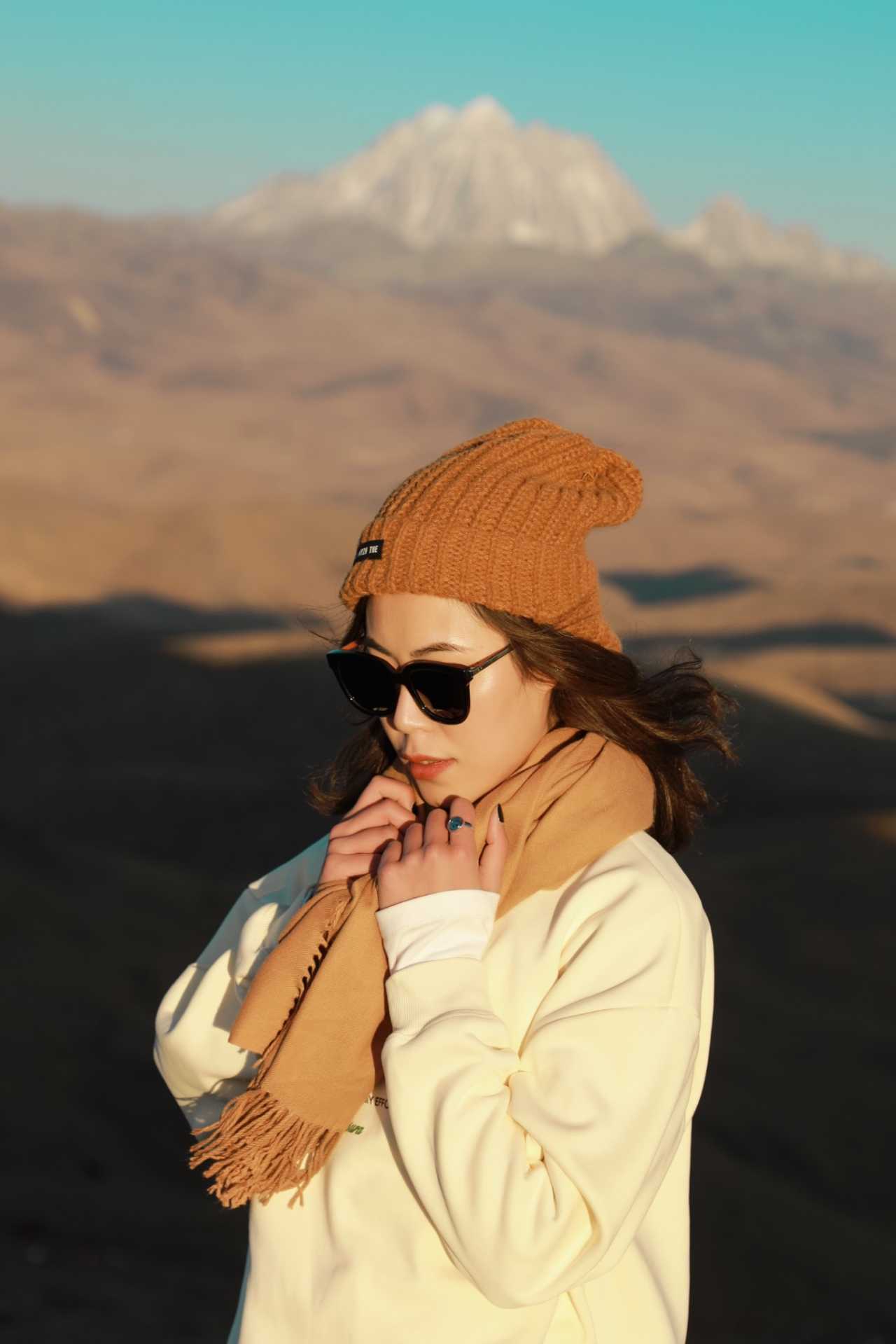
Xinduqiao is often called the "Photographer's Corridor" for good reason. This small town at the junction of several major routes offers endless opportunities for landscape photography.
Xinduqiao Camping & BBQ

Camping under the stars in Xinduqiao is an experience you'll never forget. The night sky here is remarkably clear, with the Milky Way visible to the naked eye on moonless nights. A BBQ dinner with local yak meat and Tibetan butter tea makes the experience complete.
Gongga Dressing Table Golden Sunset
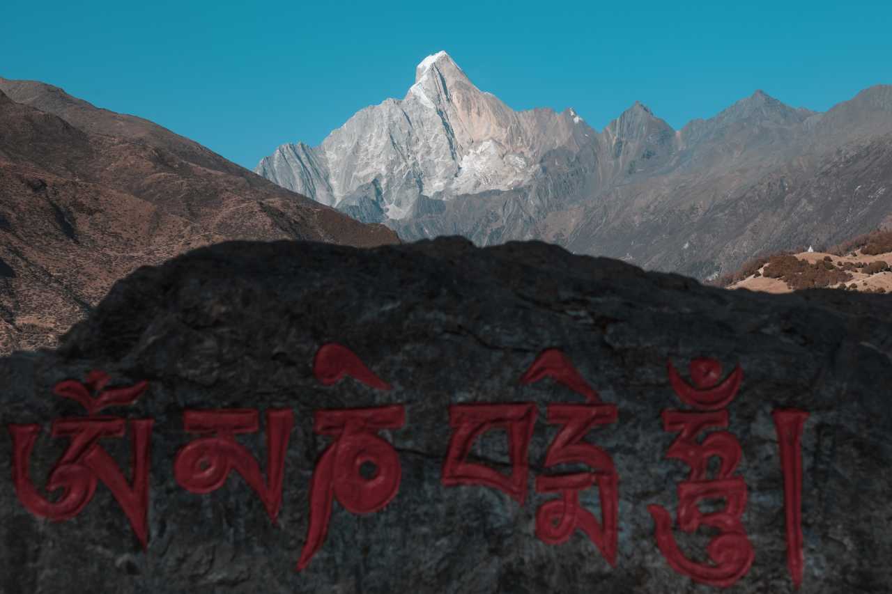
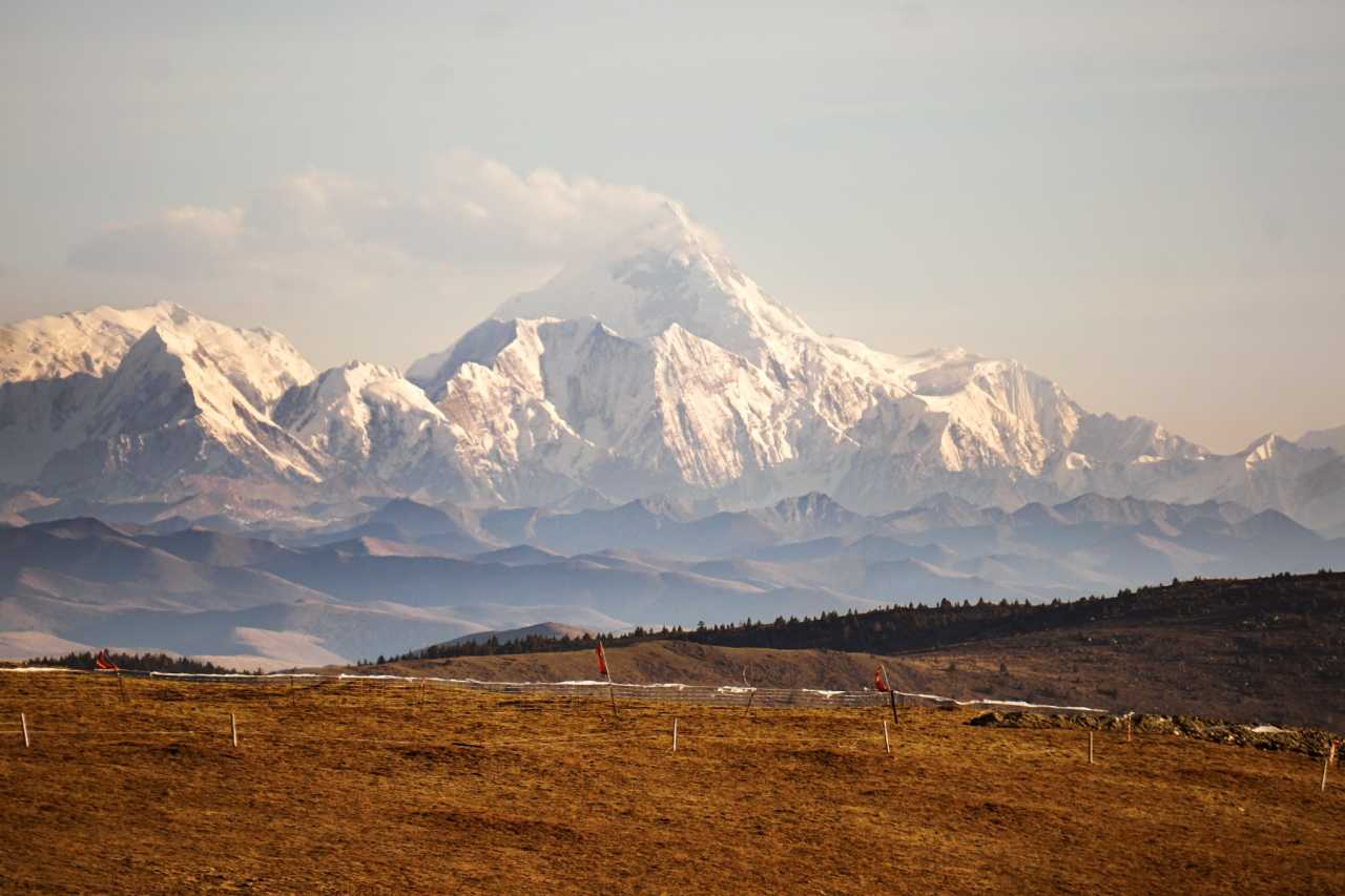
The Gongga Dressing Table viewpoint offers one of the most dramatic sunset views in the region. As the sun sets behind Gongga Mountain (the highest peak in Sichuan at 7,556 meters), the sky explodes in shades of orange, pink, and purple. This is the moment every photographer dreams of.
[Link: Xinduqiao photography tips and best locations]
Day 5: Return to Chengdu
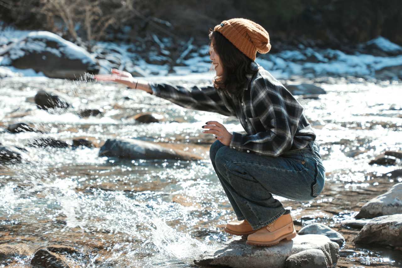
The final day takes you back through Tagong Grassland and Red Lake before returning to Chengdu. Tagong Grassland offers endless green expanses dotted with yaks and Tibetan tents. Red Lake, named for its distinctive red algae blooms, provides a striking contrast against the surrounding mountains.
FAQ: Western Sichuan Photography
1. What is the best time of year for Western Sichuan photography?
The best time is late September to early November for autumn colors, and April to June for wildflowers. July and August have lush greenery but more rain. Winter (December to March) offers clear skies and snow-covered peaks but very cold temperatures.
2. What camera equipment should I bring?
A DSLR or mirrorless camera with a wide-angle lens (16-35mm) is essential for landscapes. A telephoto lens (70-200mm) is useful for capturing distant peaks and wildlife. A tripod is mandatory for sunrise/sunset shots and astrophotography. Bring extra batteries—cold temperatures drain them quickly.
3. Do I need to worry about altitude sickness?
Yes. The route reaches elevations of 3,500-4,500 meters. Acclimatize gradually, stay hydrated, avoid alcohol, and consider taking acetazolamide (Diamox) if you're prone to altitude sickness. Carry portable oxygen canisters for emergencies.
4. Is it safe to drive the Western Sichuan loop?
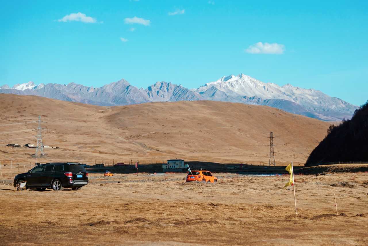
Generally yes, but 4WD vehicles are recommended for some sections, especially in winter. Roads are mostly paved but can be narrow and winding. Check road conditions before departing, and avoid driving at night in mountainous areas.
5. Can I visit Siguniangshan in one day?
Yes, but you'll need to choose one valley—Shuangqiao Valley is the most accessible and photogenic. For a full experience, plan at least two days: one for the valley and one for sunrise/sunset photography at Cat's Nose Ridge.
Conclusion: Your Western Sichuan Photography Journey Awaits
Western Sichuan is more than a destination—it's a state of mind. It's where the rush of modern life fades into the rhythm of the mountains, where every turn reveals a new masterpiece, and where the stars remind us of our place in the universe.
Whether you're a seasoned photographer or a beginner with a smartphone, this region offers endless opportunities to capture beauty and meaning. The key is to slow down, breathe, and let the scenery enter your heart.
Ready to plan your trip? Start by checking the latest road conditions, booking your accommodations in advance (especially during peak season), and packing for all weather conditions. Your camera is ready—now it's time to let Western Sichuan work its magic.
Book your Western Sichuan photography tour today and discover why this land keeps calling travelers back again and again.
Have questions about planning your Western Sichuan photography trip? Leave a comment below or contact us for personalized itinerary recommendations.
You may also like