The Genie Southern Route: 7-Day Western Sichuan Road Trip Itinerary for Adventure Seekers
Meta Description: Discover the Genie Southern Route, Western Sichuan's hidden paradise. This 7-day itinerary covers snow peaks, alpine lakes, and remote villages. Perfect for self-driving enthusiasts seeking solitude.
Some roads aren't meant for getting from point A to point B. They're meant for losing your heart in the wild — and finding it again.
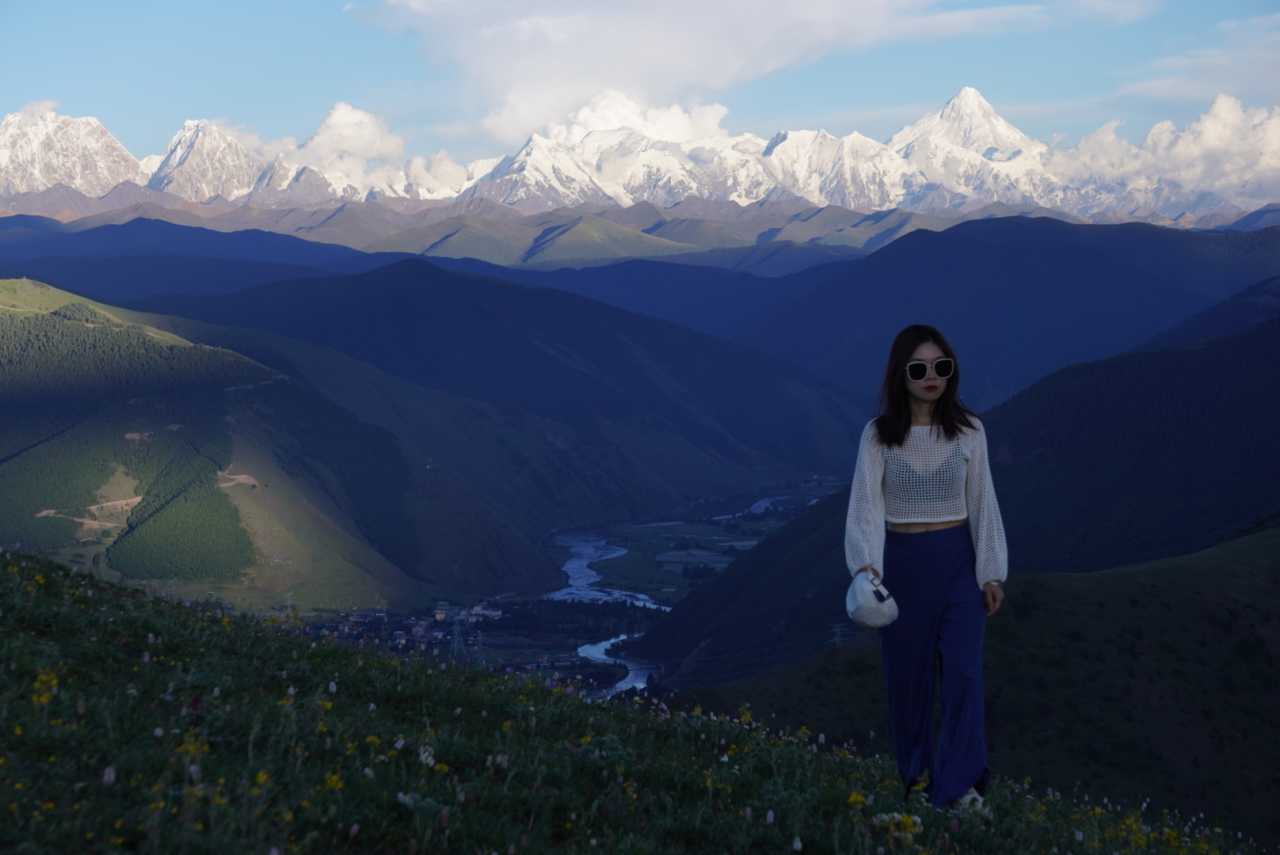
The Genie Southern Route, hailed by self-driving enthusiasts as "Western Sichuan's last hidden paradise," weaves together snow-capped peaks, grasslands, ancient monasteries, alpine lakes, and remote villages. Over seven days and six nights, starting from Chengdu, you'll climb passes over 5,000 meters, rattle over potholes and gravel roads, and stand face-to-face with Mount Genie in a dead zone where phone signals vanish.
This isn't a typical travel guide — it's a love letter to mountains, rivers, lakes, and seas, capturing moments that, even in the jolting bumpiness and thin air, still bring tears to your eyes.
[Link: Best time to visit Western Sichuan]
Why Choose the Genie Southern Route Over Gongga or Daocheng?
If you're tired of the endless traffic on National Highway 318 and fed up with the crowds at Daocheng Yading, the Genie Southern Route offers a completely different answer.
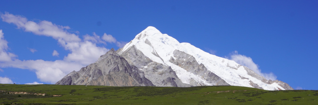
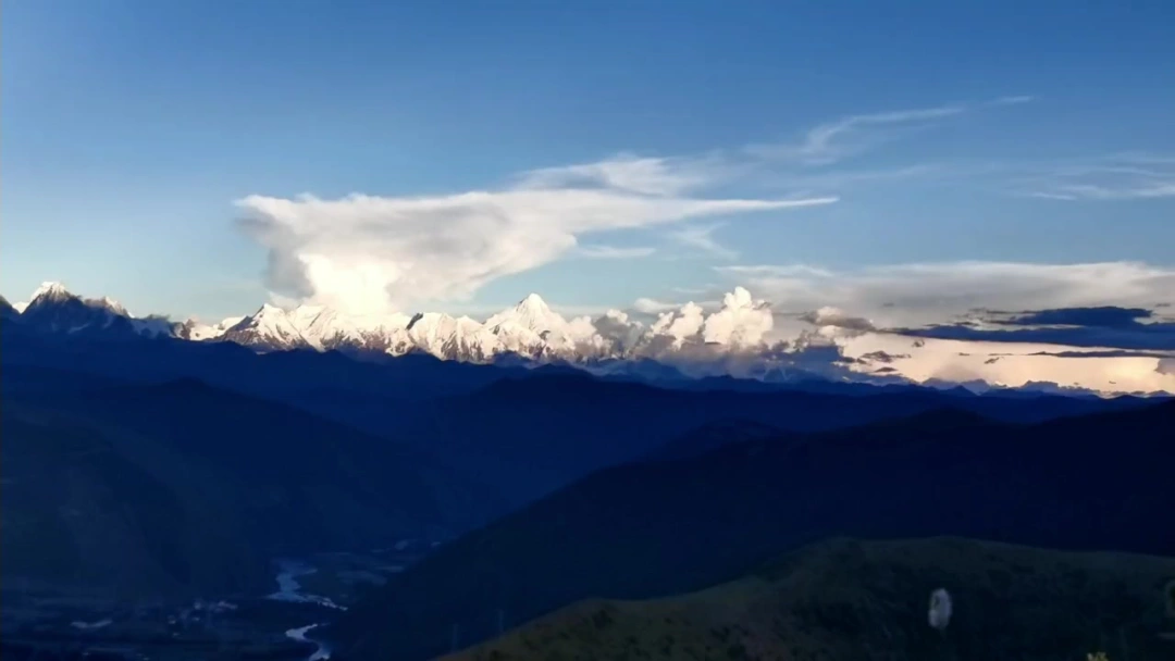
Mount Genie, whose Tibetan name means "lay practitioner," is the 13th sacred mountain among the 24 in Tibetan Buddhism. It lacks the fame of Gongga but possesses a rawer, more untamed beauty. The entire southern route cuts through the heart of the Shaluli Mountains, stretching from Batang to Litang, passing through:
- Zhawala Pass (5,100 meters) — the highest point of the journey, where pinkish rock formations carry an ancient, romantic desolation
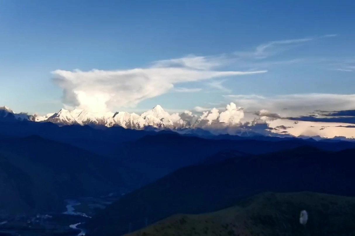
- Reti River Valley — the best vantage point for Mount Genie's western slope, with its triangular peak mirrored in the river
- Old Lenggu Monastery — a 700-year-old sanctuary hidden deep in the mountains, far more rewarding to visit than its newer counterpart
- Genie's Eye — when dry, it looks like a scar on the meadow; during the rainy season, it transforms into a turquoise "pupil of the earth"
Some call Genie a "miniature Gongga," but to me, it feels more like a silent giant — never competing for attention, revealing its most breathtaking face only to those willing to venture close.
[Link: Western Sichuan off-the-beaten-path destinations]
Pre-Trip Preparation: Essential Gear for High-Altitude Road Trips
High-altitude road trips reward thorough preparation. Here's my streamlined packing list, tested firsthand on the Genie Southern Route.
Essential Documents & Vehicle Requirements
- ID card, driver's license, vehicle registration (all three are mandatory for checkpoints)
- A high-clearance SUV or off-road vehicle is recommended; sedans can manage, but be prepared for scrapes underneath
- Fill up your tank in Litang before departure — there are no gas stations along the entire S459 provincial road
Clothing System: The Three-Layer Method
- Base layer: Quick-dry long-sleeve shirts, suitable for wearing alone
- Insulation layer: Light down jacket, fleece
- Protection layer: Hard-shell waterproof jacket, soft-shell pants, raincoat
- Footwear: Waterproof hiking boots + trail running shoes (for light treks)
- Extras: Headlamp, flashlight, thermal gloves
Sun Protection & Moisture Management
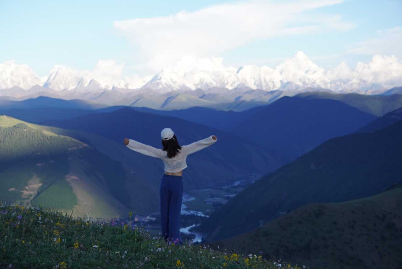
The plateau sun shows no mercy. Pack:
- Wide-brimmed hat, sunglasses, arm sleeves, sunscreen (SPF50+), post-sun repair mask
- Body lotion, hand cream, lip balm — chapped lips are the norm in this dry climate
Medication & Emergency Supplies
- Oxygen canisters (don't rely on them, but have them for peace of mind)
- Digestive medicine, cold medicine, painkillers, allergy medicine
- Band-aids, disinfectant, insect repellent
Other Essentials

- Power bank, chargers, cables, earphones
- Thermos (hot water helps with altitude sickness), snacks, self-heating rice, garbage bags
- Slippers, U-shaped neck pillow, steam eye mask — lifesavers for sleeping in the car
[Link: High-altitude road trip packing checklist]
7-Day, 6-Night Genie Southern Route Itinerary
Day 1: Chengdu → Yajiang — Altitude Acclimation
Route: Chengdu → Tianquan Service Area (rest stop) → Luding (lunch) → Tagong Grassland (optional) → Yajiang (overnight)
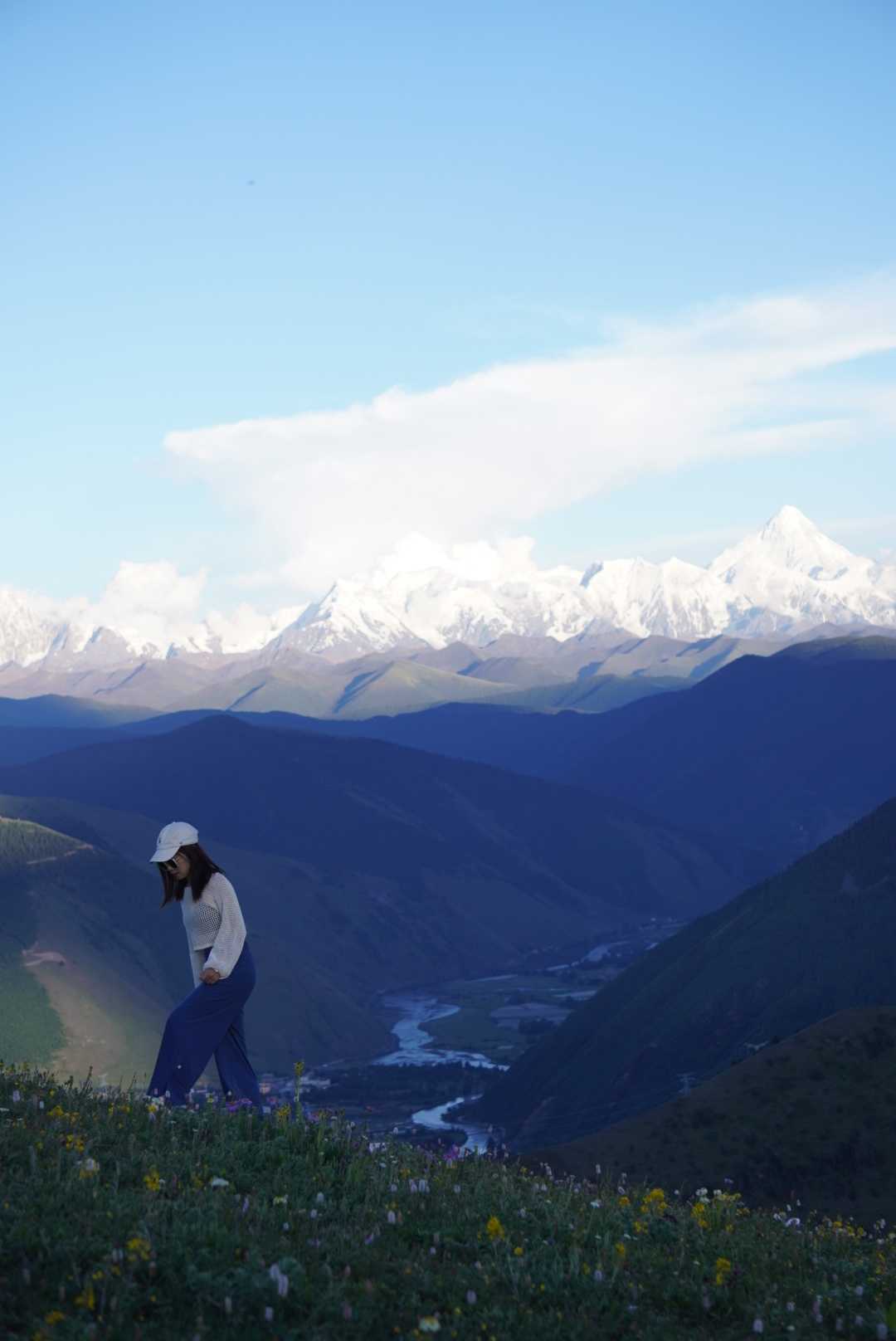
No rush on the first day. The main goal is altitude adjustment. Yajiang sits at just 2,500 meters, making it an ideal rest stop.
Highlights: - Tagong Grassland: If the weather is clear, you can see Yala Snow Mountain in the distance, but no need to linger - Stone Town: A good spot to view Gongga, weather permitting
Accommodation tip: Stay in Yajiang town center — the low altitude ensures a good night's sleep.
Day 2: Yajiang → Batang — Crossing Maoya Prairie & Sister Lakes
Route: Yajiang → Heavenly Road Eighteen Bends (no stop) → Litang (drone photo spot) → Maoya Prairie → Haizi Mountain Sister Lakes → Cuopu Valley → Batang (overnight)
A packed day — set off before 7 AM.
Maoya Prairie
Navigate to He'ni Township Anwa Village. This is one of the largest natural pastures in the Kham region, rated by Chinese National Geography as one of China's six most beautiful grasslands. Morning smoke from village hearths mingles with the mist, and scattered herds of yaks and sheep create a living oil painting.
Haizi Mountain Sister Lakes
Two turquoise lakes nestle side by side like a pair of glasses. The best photo spot is the mountain-top viewing platform — the higher you climb, the more the lakes resemble "eyes." Shoot during the golden hours of early morning or late afternoon for maximum contrast on the surrounding peaks.
Cuopu Valley
Known as the "First Sacred Lake of Kham," admission is 190 RMB (includes shuttle bus). Self-driving entry requires a phone reservation in advance. Inside the scenic area: - Rekeng Hot Spring Group: Water temperatures reach 90°C — hot enough to boil eggs - Zhangde Grassland: Snow mountain reflections, wildflowers everywhere - Kangzhula Lake & Zhima Yongcuo Lake: Two small, colorful alpine lakes like scattered jade - Cuopu Lake: Walk the boardwalk around the lake for different perspectives at every turn
Time reminder: You must arrive at Cuopu Valley by 3:00 PM, or you won't be allowed in.
Day 3: Batang → Zeba Village — Crossing the Highest Pass
Route: Batang → Zhawala Pass → Laozhelongba Pass → Reti River Valley → Gemu Village → Chachongxi Village → Handa Campground → Zeba Village (overnight)
This is the highlight of the entire route — and the most challenging stretch for driving.
Zhawala Pass (5,100 meters)
Leaving Batang on S459, you'll watch vegetation transition from colorful forests to grassland to bare rock. Near the pass, two pinkish stone mountains (Chongben Haga) stand out — their flowing scree and mineral-rich rock create a stark, desolate beauty.
Gemu Village
Navigate to Bomi Township Gemu Elementary School; you'll need to register at the village entrance. Highlights include: - Flower fields: In summer, wildflowers carpet the ground like a spilled palette - S-bend: 5 kilometers after leaving the village, a perfect composition of valley, flowers, and mountains awaits
Handa Campground
If you have camping gear, this is a great spot to watch the sunset. Otherwise, continue to Zeba Village for the night.
Road condition warning: The 14-kilometer stretch from Reti Wetland to Chachongxi Village is riddled with potholes. Sedans can crawl through slowly, but SUVs are recommended, especially during the rainy season.
Day 4: Zeba Village → Xiazetong Village — Old Lenggu Monastery & Genie's Eye
Route: Zeba Village → New Lenggu Monastery → Old Lenggu Monastery (hike) → Xiazetong Village (overnight)
Old Lenggu Monastery
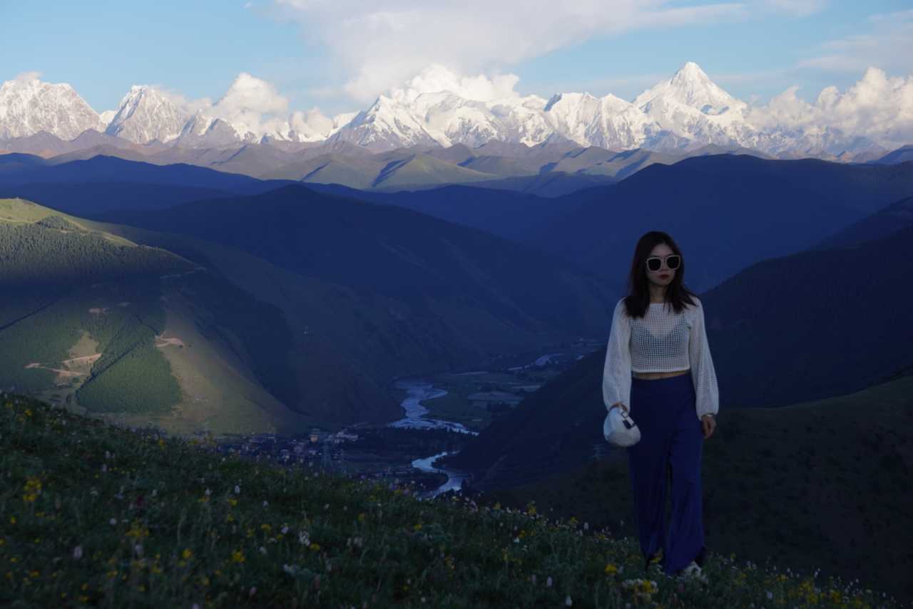
Take a motorcycle from the new monastery (100 RMB round trip per person). The bumpy mountain road is worth it. This 700-year-old sanctuary, hidden deep in the mountains, sees almost no tourists. Its incense has faded, but it preserves the most authentic atmosphere of Tibetan Buddhism. Here, you can see Genie's side peak — locals believe it's even more beautiful than the front.
Genie's Eye
This seasonal alpine lake transforms dramatically. During the dry season, it appears as a scar on the meadow. When the rains come, it becomes a turquoise "pupil of the earth" — one of the most photographed spots on the Genie Southern Route.
Day 5: Xiazetong Village → Litang — Exploring the Heart of Genie
Route: Xiazetong Village → Genie Base Camp → Reti River Valley → Litang (overnight)
Today focuses on getting closer to Mount Genie itself. The base camp area offers: - Close-up views of Genie's triangular peak - Wildflower meadows in summer months - Crystal-clear streams perfect for photography
Return to Litang for a comfortable overnight stay. Litang, at 4,000 meters, is known as the "City of the Sky" and offers better accommodation options than the villages.
Day 6: Litang → Kangding — Scenic Drive Through the High Plateau
Route: Litang → Maoya Prairie (return visit) → Zheduo Mountain → Kangding (overnight)
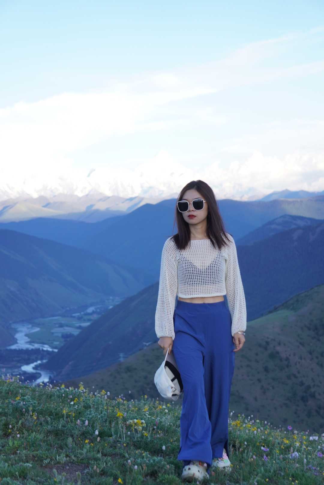
A more relaxed day for reflection and photography. The drive back through Maoya Prairie offers different light conditions, and Zheduo Mountain provides dramatic views of the Kangding region.
Photography tip: Stop at Zheduo Mountain's viewing platform for sunset shots of the surrounding peaks.
Day 7: Kangding → Chengdu — Return Journey
Route: Kangding → Luding Bridge (optional stop) → Chengdu
The final day is a straightforward drive back to Chengdu. If time permits, stop at the historic Luding Bridge for a quick visit.
Frequently Asked Questions About the Genie Southern Route
1. Is the Genie Southern Route suitable for beginner self-drivers?
No. This route involves high-altitude passes, unpaved roads, and challenging driving conditions. It's best suited for experienced drivers comfortable with mountain roads and basic vehicle maintenance.
2. What is the best time of year to drive the Genie Southern Route?
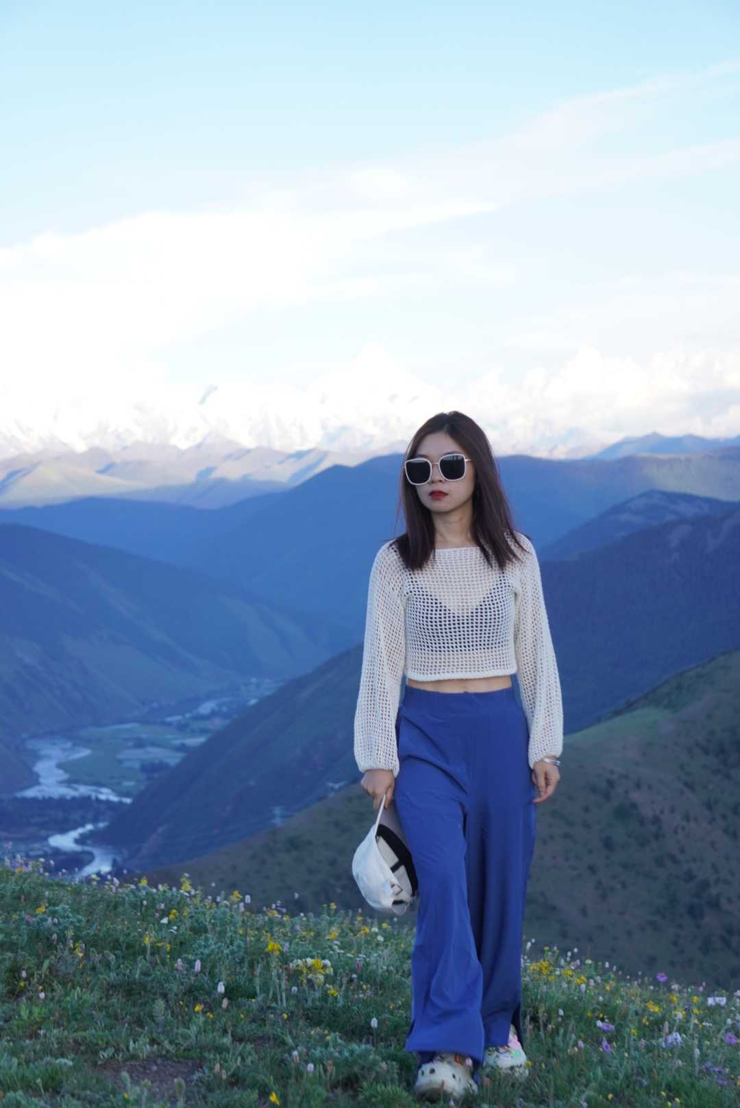 Late May to early October is ideal. July and August offer the best wildflower displays but also the highest chance of rain. Avoid November through April when snow can block passes.
3. Do I need a 4x4 vehicle?
A high-clearance SUV is strongly recommended. While sedans can technically complete the route, you'll risk undercarriage damage on the potholed sections, especially near Reti Wetland.
4. How do I handle altitude sickness on this route?
 Ascend gradually — spend night 1 at Yajiang (2,500m) before climbing higher. Stay hydrated, avoid alcohol, and carry oxygen canisters for emergencies. If symptoms worsen, descend immediately.
5. Are there accommodation options along the route?
Yes, but options are limited in remote areas. Book ahead in Batang, Litang, and Kangding. In Zeba Village and Xiazetong Village, expect basic guesthouses with shared facilities.
Final Tips for Your Genie Southern Route Adventure
- Download offline maps: Phone signals disappear for long stretches
- Carry cash: Many villages lack card payment facilities
- Respect local customs: Dress modestly near monasteries and ask permission before photographing locals
- Pack garbage bags: Leave no trace in this pristine environment
- Check road conditions: Ask locals or check recent travel forums before setting out each day
[Link: Western Sichuan travel tips]
Ready to experience Western Sichuan's hidden paradise? Start planning your Genie Southern Route adventure today. Book your vehicle, pack your gear, and prepare for a journey that will change how you see mountains forever.
The road is calling. Will you answer?
Have you driven the Genie Southern Route? Share your experience in the comments below — your tips could help future travelers discover this incredible journey.
You may also like