17 Days, A Pilgrimage Without Rush: Trekking Through Genie, Hiking Xiangla Dongji, Circling Labrang Monastery, and Gazing at Nyainbo Yuzé
Meta Description: Experience a slow, soulful 17-day pilgrimage through western Sichuan, southern Gansu, and Qinghai. Trek Genie, hike Xiangla Dongji, circle Labrang Monastery, and gaze at Nyainbo Yuzé. Discover hidden gems, marmots, and golden mountains.
Introduction: Why a Slow Pilgrimage Changes Everything
Some journeys aren't about checking off destinations — they're about emptying the mind. There is no packed itinerary, no list of must-dos. Just wind, clouds, the road beneath your feet, and a heart willing to slow down. This 17-day pilgrimage through western Sichuan, southern Gansu, and deep into Qinghai is exactly that: a chance to chase light, stumble upon golden mountains at sunrise, and reconnect with nature without a clock.
From trekking through Genie to hiking Xiangla Dongji, circling the sacred Labrang Monastery, and gazing at Nyainbo Yuzé, this route offers a rare blend of spiritual depth, raw landscapes, and authentic encounters. Whether you're a solo traveler, a family adventurer, or a photographer seeking untouched beauty, this itinerary will inspire your next slow travel journey.
Day 1–2: Departure from a Quiet Town to a Night of Fireflies
Qingping Town & Firefly Valley: A Magical Start
On July 17, we set off from Chongqing, heading west. After exiting the highway in Deyang, we arrived at Mianzhu's Qingping Town around 5 p.m. As we entered the mountains, the temperature outside the car dropped sharply, while behind us, the Chengdu Plain was brewing a massive rainstorm.
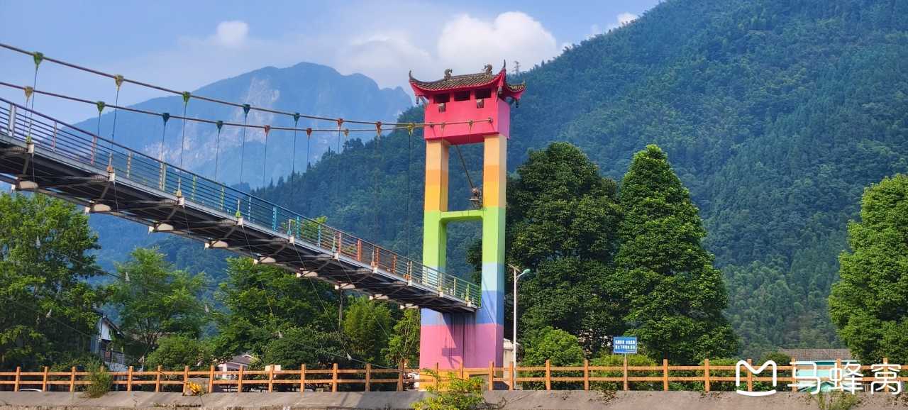
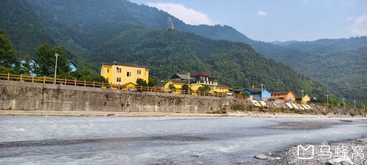
Qingping is a colorful little mountain town, a popular summer escape. There's a small railway track running through it — a remnant of old mining days. The Mianyuan River cuts through the town, its water clear and icy cold, rushing with the characteristic urgency of mountain streams. Lucky for us, Firefly Valley had just reopened the next day, so we got to wander in for free. Around 9 p.m., on the road back, we spotted two fireflies — their faint glow flickering in the dark, like nature's first gift to us.
Pro Tip: There's a campsite by the river, but it was empty. Locals said someone would come by at night to collect fees. If you're camping, bring cash and be prepared for chilly nights.
Day 3–4: Crossing Canyons and Plateaus – Mianmao Highway to Zoigê
Mianmao Highway & Mao County: Engineering Marvels
Early morning, we bought peaches, corn, and eggs from the market in town and cooked them at our guesthouse for breakfast. After eating, we hit the Mianmao Highway toward Mao County. The road is almost entirely tunnels — the longest tunnel complex stretches 29 kilometers, with a speed limit of 40 km/h. If you're in a hurry, don't take this route. But you can't help admiring the engineering.
We reached Mao County around 1 p.m. and grabbed rice noodles and potato rice at a random local eatery. Originally planning to visit Pingtou Qiang Village, we ended up at the Mao County Museum instead. The museum is built in classic Qiang fortress style, displaying bronze artifacts from local tomb excavations along with the history and culture of the Qiang people. The Ancient Qiang City charges admission, so we skipped it. We climbed up to the watchtower behind the museum — the view was spectacular, overlooking the entire county. Across from us, a towering mountain likely stays snow-capped except in summer.
Diexi Lake: Emerald Jade of the Plateau
The hotel came with two breakfast vouchers, but the catch was we had to walk several hundred meters down the street to another hotel to eat.
After breakfast, we headed toward Songpan under clear skies. Back in 2013, when we took this road to Jiuzhaigou, we'd passed the two lakes formed by the Diexi earthquake. This time, the weather was perfect, so we decided to use our camping gear. We set up a tarp on the platform outside the viewpoint, pulled out our table and chairs, cooked instant noodles, and reheated leftovers from last night's takeout for lunch. Almost no one bothered us — we spent the whole afternoon there. It rained on and off, but when the sun came out, the lake gleamed like emerald jade, so beautiful it was hard to look away.
Diexi is a tourist town; driving through, we saw a few visitors. There's an old road along the lake, marked on maps as a scenic route, which connects back to the main road. It's built along the cliffs, with multiple rockfalls and collapses. Probably too risky, and with the new tunnels, it's been abandoned without maintenance. But the old road offers full views of both lakes — absolutely stunning. Someone had even planted pepper trees along the way. On our way back, we spotted a large eagle circling silently high above the cliffs.
We thought about camping here but ultimately decided against it. Around 4 p.m., we continued north to Zhenjiangguan Town. It's a small place, but it has a train station — the Sichuan-Qinghai Railway stops here. The railway line runs through the mountains on elevated bridges. The old folks in town probably never dreamed that trains would emerge from the hilltops above them, pause, and then move on.
Zhenjiangguan to Zoigê: Grassland Highway
In the morning, we bought some peach cookies from a shop that looked more like a convenience store at the town entrance, then headed to Songpan. Songpan's old town has "Songzhou" written on its gates — it's steeped in history, a key strategic pass in northern Sichuan. The Red Army fought the Battle of Songpan here during the Long March. At nearly 2,900 meters above sea level, it's only a few dozen kilometers and about an hour's drive from Zhenjiangguan.
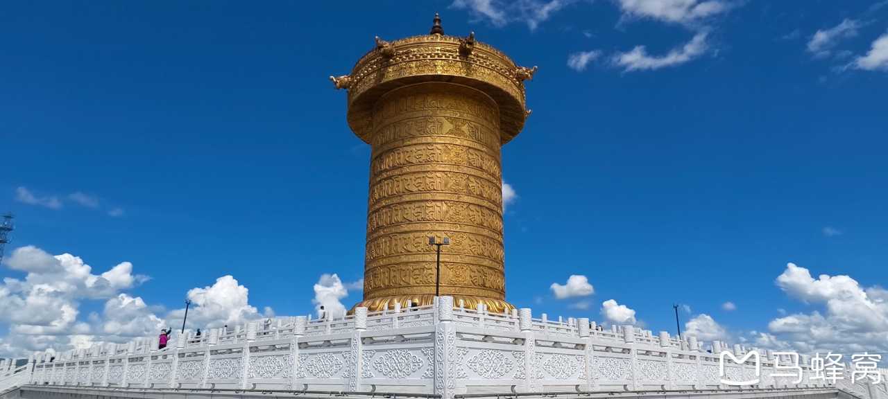
We parked for free along the city wall and wandered into town. It had all the hallmarks of a touristy ancient city — the most common offering being yak meat skewers at one yuan each, along with various mushrooms and mountain products. We bought 30 yuan worth, and Xie Muyi alone ate over twenty skewers. Leaving town, we climbed halfway up the hill to a martyrs' cemetery, but it was under renovation and we couldn't enter. We paid our respects silently.
Descending, we left Songpan and headed toward Chuanzhusi Town. Chuanzhusi is small — just a single building complex — but it's famous. To the right is Jiuzhaigou; to the left, the vast Zoigê Grassland. We turned left. Unfortunately, we didn't get to see Zoigê under blue skies — it started raining, and hard. But there were still plenty of grasslands, yaks, sheep, and horses to take in. The grassland highway, even without the backdrop of blue skies, was a pleasure to drive.
By 6 p.m., we reached Zoigê County town, freezing cold. We had yak hotpot for dinner, and Xie Muyi devoured another large plate of yak meat. At about 3,200 meters elevation, he had mild altitude sickness when sleeping — headache, complaining he wanted to leave the grassland tomorrow and skip the marmots. But by morning, he was bouncing around again — the marmots were back on the agenda.
Day 5–6: Hidden Gems of Southern Gansu – Labrang Monastery and Grassland Marmots
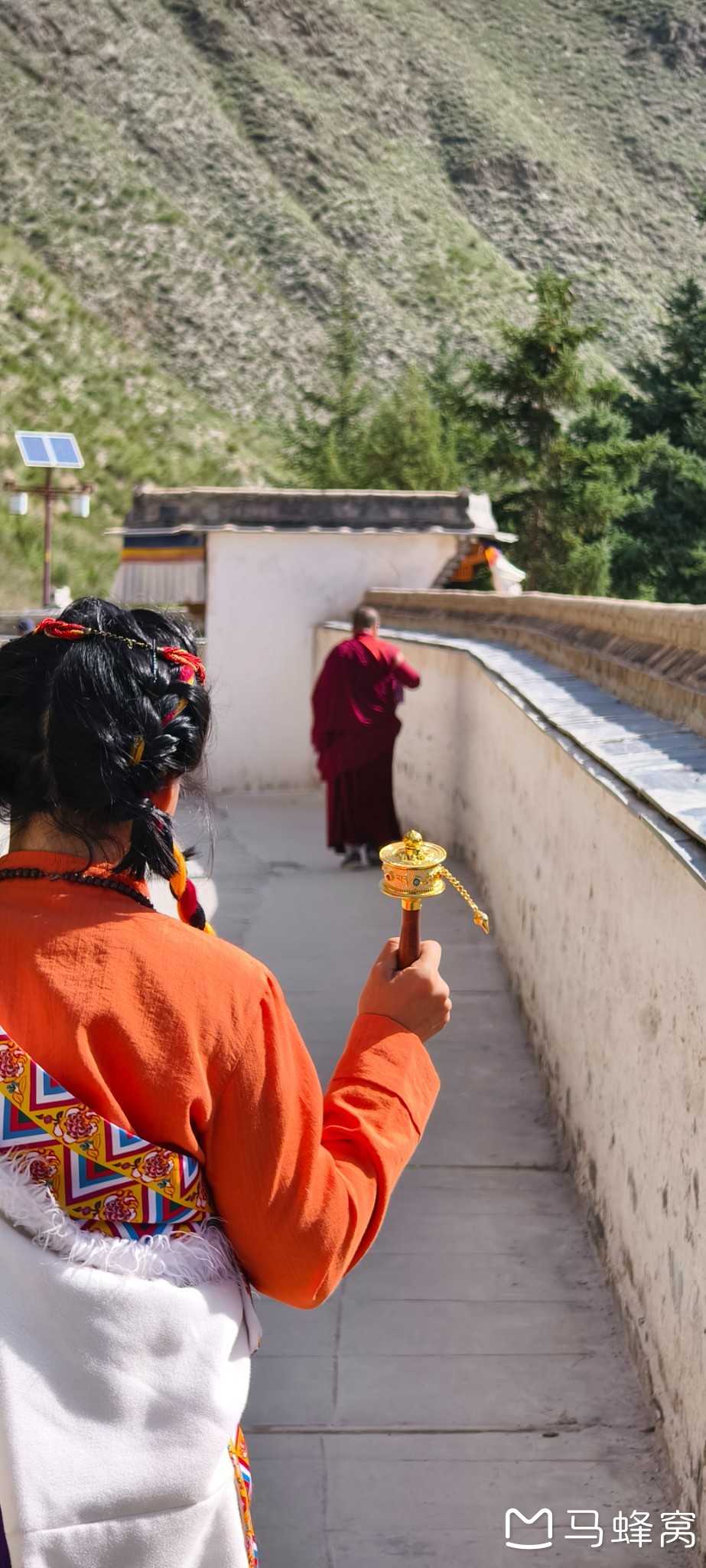
Overcast Zoigê to Sunny Gahai Lake
Morning in Zoigê: pouring rain. We waited a bit, checked the weather — further north, Langmusi was sunny. So we set off, driving north through the rain.
At our lodging, we met a motorcyclist from Ganzhou, Jiangxi. He'd bought a used bike in Yunnan and ridden all the way to Zoigê, heading northeast through Ningxia and Inner Mongolia. He'd gotten soaked the day before and was resting up. He left before us — a true rider, braving the rain. We ran into him again later at Gahai Lake, now under clear skies. We exchanged quick greetings and wished him luck.
Arriving at Langmusi, it was still drizzling. Checking the weather map, we figured we'd just keep heading north — worst case, we'd cross southern Gansu into Qinghai, then to the Qilian Mountains and down the Hexi Corridor. But by the time we reached Gahai, the sky had cleared. The Wu'na Viewing Platform along the national highway was free. Climbing to the top, we could see Gahai Lake in the distance — a better view than paying to enter the actual scenic area. Gahai is a grassland wetland, great for birdwatching, covered in tiny colorful flowers stretching endlessly.
Online, they said there were marmots here, but we only found a few holes on the hilltop. Continuing north, the weather kept improving. We refueled and ate in Luqu, then headed toward Labrang Monastery.
Circling Labrang Monastery: A Sacred Pilgrimage
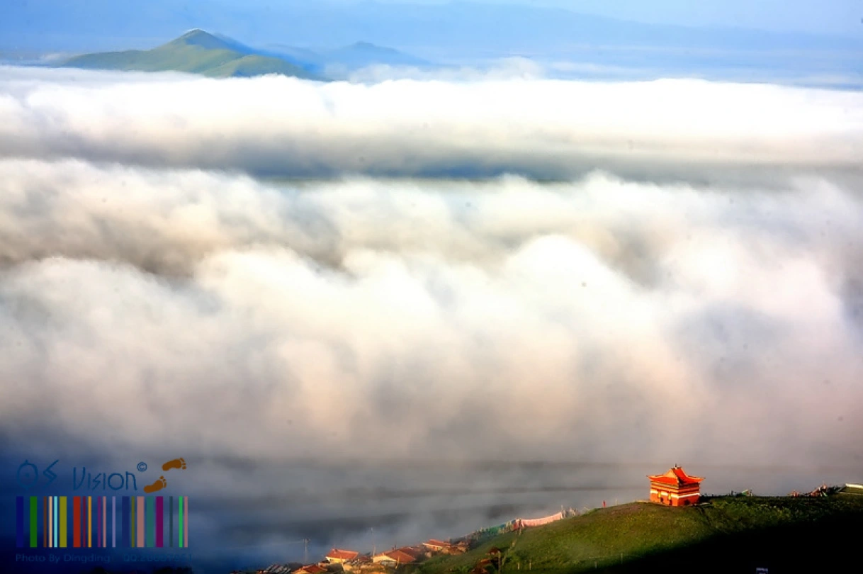
Labrang Monastery is one of the six great monasteries of the Gelug school of Tibetan Buddhism. Located in Xiahe County, Gansu, it's a spiritual heartland for Tibetan Buddhists. We arrived in the late afternoon, and the golden roofs glowed in the fading light.
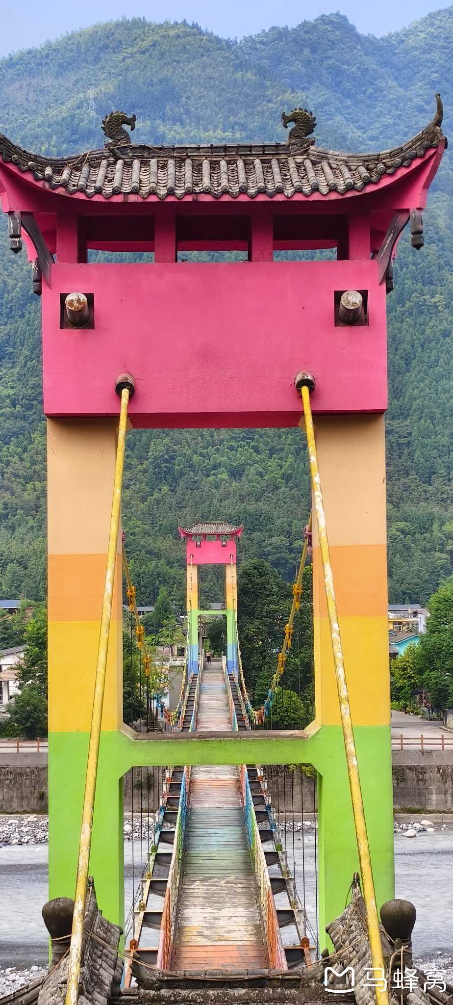
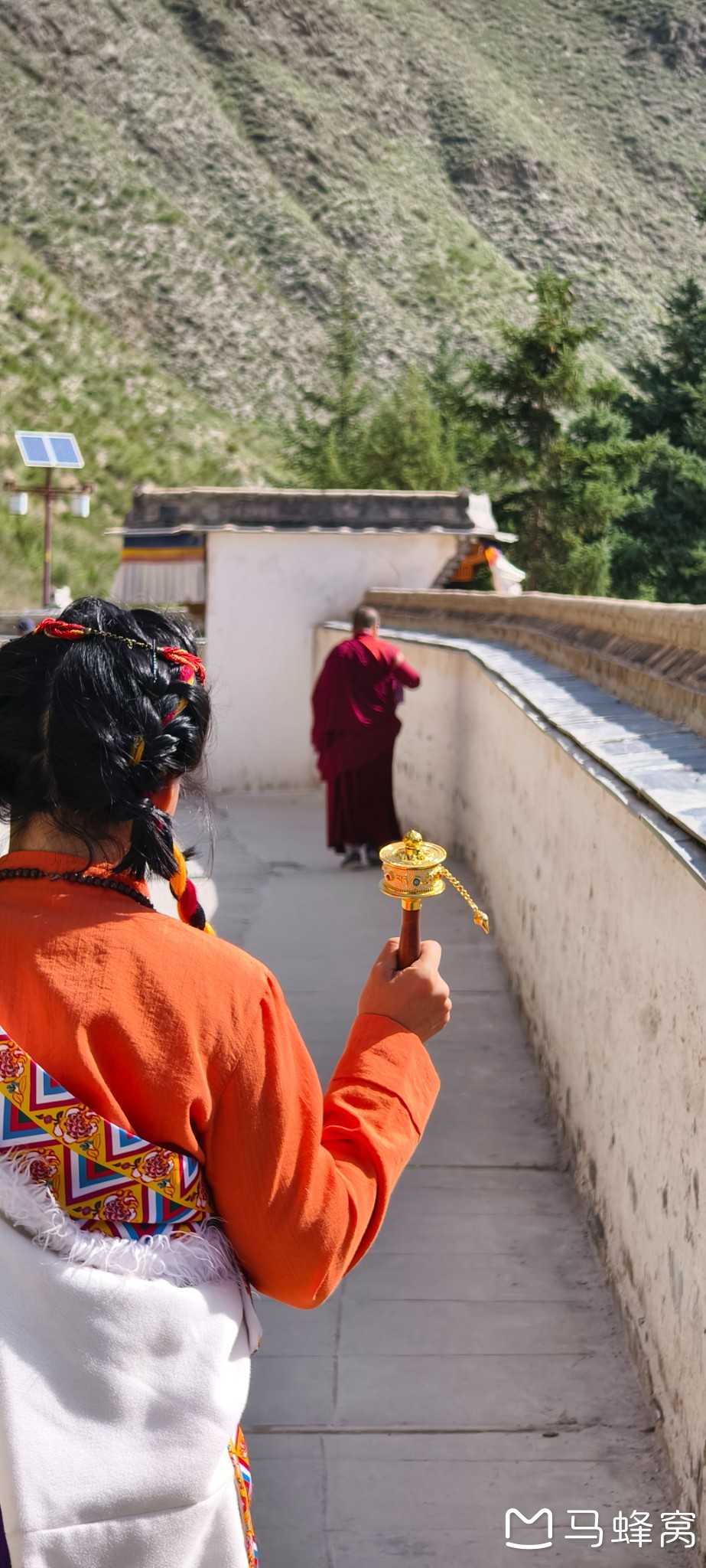
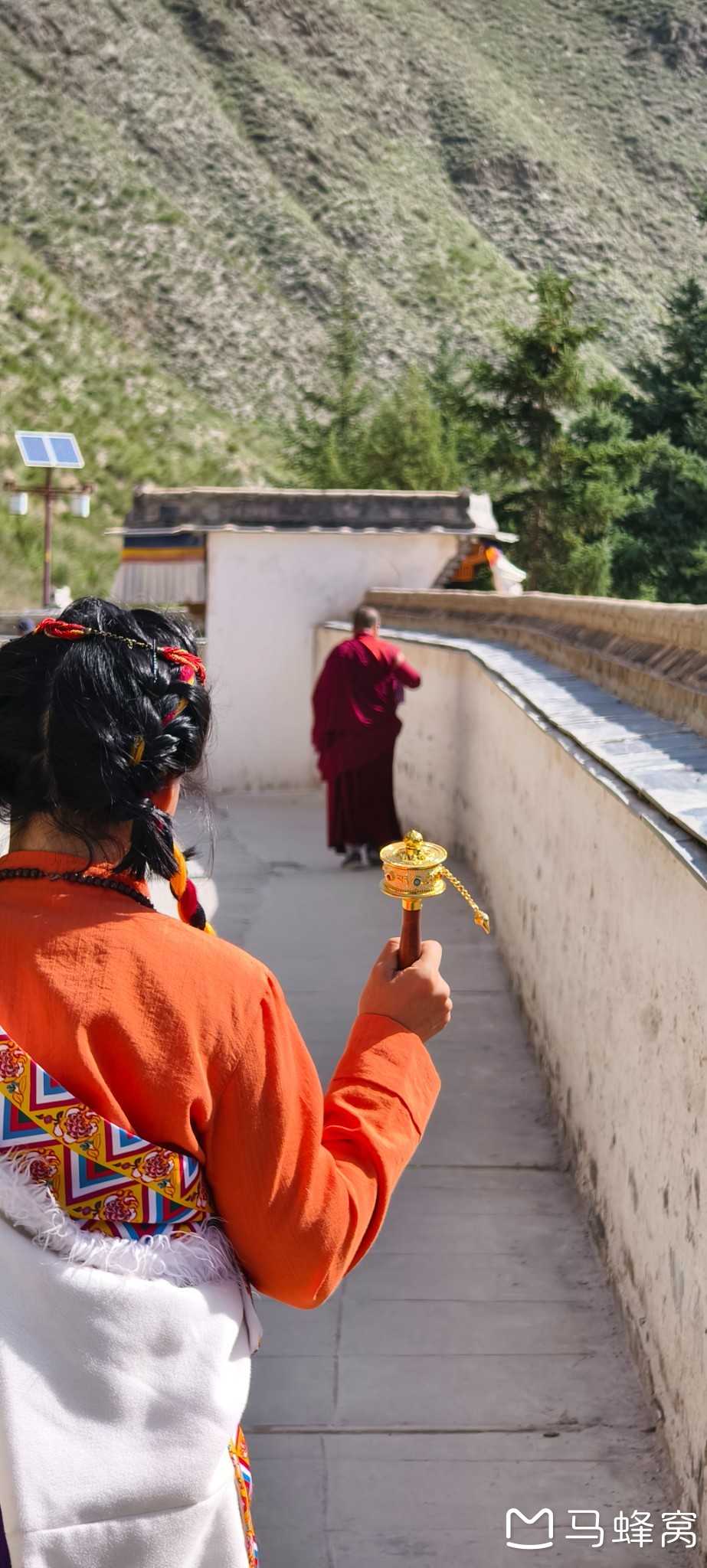
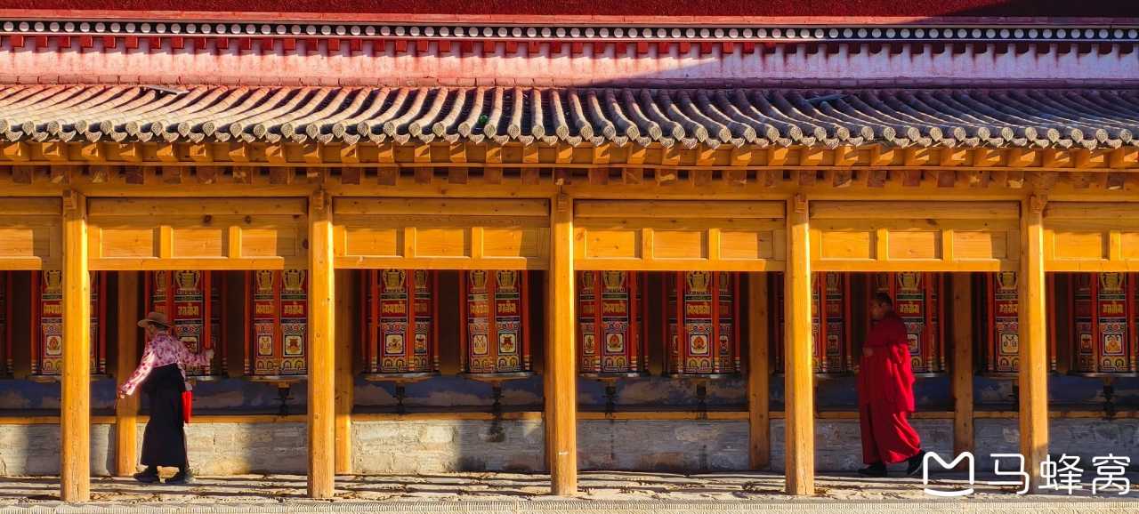
We joined the kora — the sacred circumambulation path — circling the monastery walls. Pilgrims spun prayer wheels, murmured mantras, and touched their foreheads to the ground. The atmosphere was serene, almost hypnotic. We walked slowly, letting the rhythm of the steps guide us. No rush. No destination. Just the path.
Note: Labrang Monastery is open to visitors, but respectful behavior is expected. Dress modestly, remove shoes before entering temples, and avoid photography inside prayer halls. [Link: Tibetan Buddhist monastery etiquette]
Day 7–10: Trekking Through Genie and Hiking Xiangla Dongji

Genie Valley: A Hidden Alpine Paradise
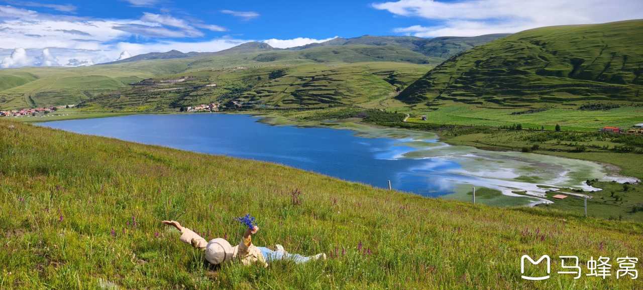
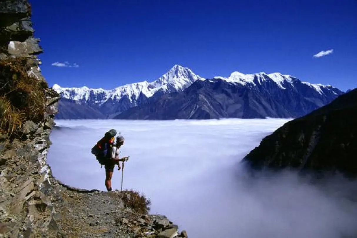
Genie (also spelled "Genie Valley" or "Genie Grassland") is a lesser-known gem in southern Gansu. We spent two days trekking through its alpine meadows, crossing crystal-clear streams, and camping under a canopy of stars. The valley is home to herds of Tibetan gazelles, blue sheep, and, if you're lucky, the elusive snow leopard.
The trek is moderate — about 12–15 km per day with some elevation gain. We carried our own gear, but local guides are available for hire. The best time to visit is July to September, when wildflowers blanket the meadows.
Xiangla Dongji: A Sacred Mountain Hike
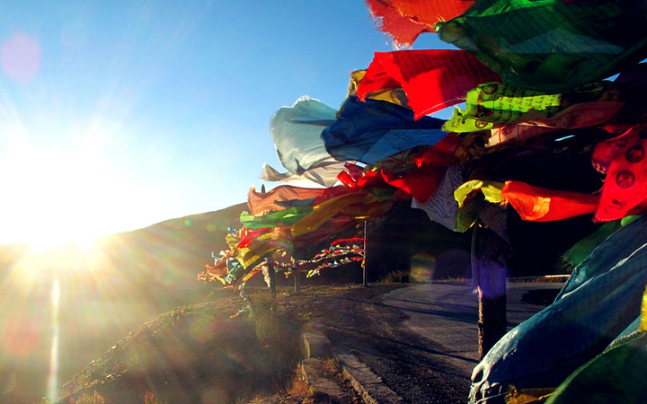
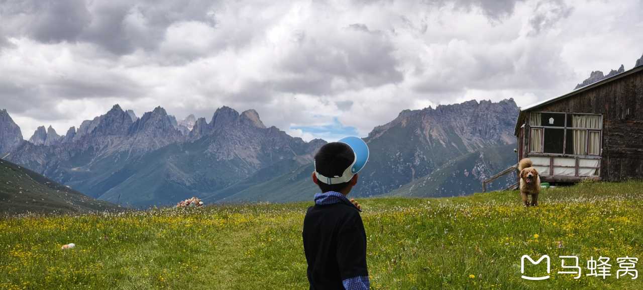
Xiangla Dongji is a holy mountain revered by local Tibetans. The hike takes you through rhododendron forests, past prayer flags, and up to a ridge with panoramic views of the Amne Machin range. We started at dawn, and by mid-morning, we were above the treeline, surrounded by silence.
The summit offers a 360-degree view of snow-capped peaks, deep valleys, and distant monasteries. We sat there for an hour, eating dried fruit and drinking tea, watching clouds drift below us. It was a moment of pure stillness.
Day 11–14: Gazing at Nyainbo Yuzé and Qinghai's High Plateau
Nyainbo Yuzé: The Holy Mountain of Qinghai
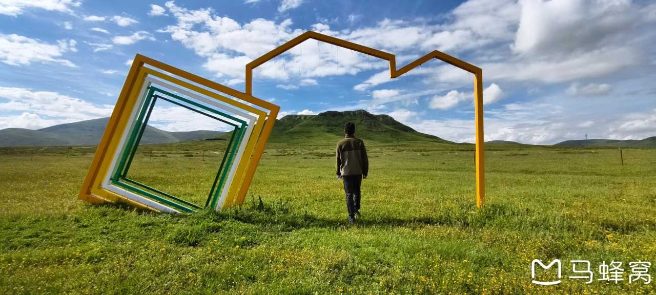
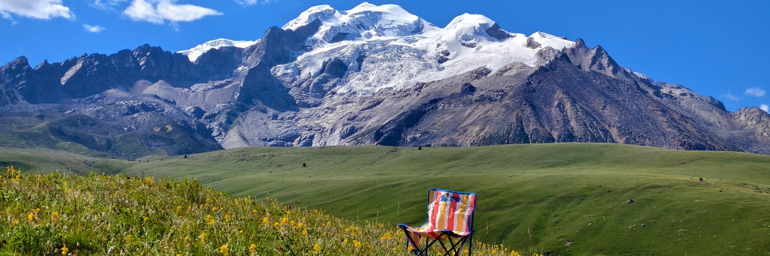
Nyainbo Yuzé (also spelled "Nyainbo Yuzé" or "Nyainbo Yuzé Snow Mountain") is a sacred peak in Qinghai Province, rising to over 5,000 meters. According to local legend, it is the dwelling place of a powerful mountain deity. We spent two days circling its base, camping at a lakeside site with the mountain reflected in the water.
The kora around Nyainbo Yuzé is a popular pilgrimage route, especially during the Horse Year (when it's believed to be especially auspicious). We saw few other travelers — mostly local pilgrims and a handful of photographers. The silence was profound, broken only by the wind and the occasional chime of yak bells.
Qinghai's High Plateau: Endless Horizons
From Nyainbo Yuzé, we drove deeper into Qinghai's high plateau. The landscape shifted from alpine meadows to vast, arid plains dotted with salt lakes and nomadic herders' tents. We stopped at Qinghai Lake — the largest saltwater lake in China — and watched the sun set over its turquoise waters.
Day 15–17: Return Journey and Reflection
The Hexi Corridor and Qilian Mountains
We descended from the plateau toward the Hexi Corridor, passing through Zhangye and its famous Rainbow Mountains. The contrast between the green grasslands of the plateau and the red, orange, and yellow sandstone formations was breathtaking.
We spent our last two days driving through the Qilian Mountains, stopping at small villages and hot springs. The journey ended in Lanzhou, where we ate bowls of hand-pulled noodles and reflected on the past 17 days.
Frequently Asked Questions (FAQ)
1. What is the best time of year for this pilgrimage?
 The ideal time is July to September, when the weather is mild, wildflowers are in bloom, and most high-altitude passes are open. Avoid the rainy season (June–July) if possible, though you'll still encounter occasional showers.
2. Do I need a guide for trekking Genie and Xiangla Dongji?
For experienced trekkers, the routes are manageable without a guide, but a local guide can enhance your experience by sharing cultural insights and ensuring safety. We recommend hiring a guide if you're unfamiliar with high-altitude trekking.
3. What altitude should I expect, and how do I prepare?
 The route ranges from 2,900 meters (Songpan) to over 5,000 meters (Nyainbo Yuzé base camp). Acclimatize slowly, stay hydrated, and consider taking Diamox for altitude sickness. We spent two days at each major elevation gain to adjust.
4. Are marmots really visible along the route?
 Yes! The Zoigê Grassland and Gahai Lake areas are prime marmot habitats. Early morning or late afternoon are the best times to spot them. Be patient and quiet — they're shy but curious.
5. Can I do this trip independently, or should I join a tour?
This route is perfectly doable independently if you have a reliable vehicle (preferably 4WD), camping gear, and basic Mandarin or Tibetan phrases. However, joining a small group tour can simplify logistics and provide cultural context. [Link: Best guided tours for Sichuan-Gansu-Qinghai pilgrimage]
Call to Action: Plan Your Own Slow Pilgrimage
This 17-day journey taught us that the best experiences aren't planned — they're stumbled upon. From fireflies in Qingping to the golden glow of Labrang Monastery at sunset, every moment was a gift.
Ready to embark on your own pilgrimage? Start by mapping your route, packing light, and leaving your watch behind. The road will guide you.
Share your stories in the comments below, or tag us on social media with #SlowPilgrimage. We'd love to hear about your own encounters with marmots, sacred mountains, and the quiet beauty of western China.
Safe travels, and may your path be filled with light.
You may also like