West of Western Sichuan: A Seven-Day Snow Mountain Road Trip from Chengdu During National Day
Meta Description: Discover a lucky seven-day self-drive tour through Western Sichuan during 2022 National Day. From Chengdu to Yajiang, cross Zheduo Mountain, explore Litang, and encounter snow-capped peaks with minimal crowds and budget-friendly travel tips.
Introduction: When Luck Meets the Open Road
In the autumn of 2022, travel felt like a high-stakes gamble. Chengdu had just emerged from its silent lockdown, the tremors from the Luding earthquake had yet to fully settle, and the epidemic in several northwestern cities lingered like a restless ghost. The night before departure, I stared at the nucleic acid test result on my phone screen, my mind churning with a single question: Can I get into Garzê?
As it turned out, luck sometimes works better than any plan. Airfare during the National Day holiday was just over 300 yuan, hotel prices had plummeted to off-season levels, there were no traffic jams on the road, no crowds at the scenic spots, and even the weather seemed to have cheated—sunshine and snow-capped mountains accompanied us the entire way. After seven days, I couldn't help but say to myself: Still lying flat at home? Just go. Really.
This article is your complete guide to a Western Sichuan road trip during China's busiest holiday—where we found solitude, snow mountains, and unexpected fortune.
Day One: From Chengdu to Yajiang – Crossing the First Pass of Kham
Landing in Chengdu: The Nucleic Acid Test Kicks Off the Journey
Late on the night of September 30, Chengdu Tianfu Airport was brightly lit. After eight months, I finally stepped out of my home again. The line for nucleic acid testing stretched long, but it was orderly. And so, the journey began under the swab stick—and for the next seven days, nucleic acid tests would become our daily ritual.
Pro Tip: [Link: Best time to visit Western Sichuan] If you're planning a similar trip, always check local health policies before departure.
Crossing Erlang Mountain: Heading Toward Unknown Kangding

On the morning of October 1, Chengdu was shrouded in thick fog. With a mix of anxiety and anticipation, we merged onto the expressway, heading straight for Kangding—the legendary checkpoint where they strictly check nucleic acid results, and where queues could stretch to eternity.
432 kilometers, 11 hours of driving—this was the longest day of the trip.
The Tianquan Service Area became our first "scenic spot." In the days before expressways, Erlang Mountain was the first natural barrier on the Sichuan-Tibet Highway. Now, a long tunnel takes you through effortlessly, and suddenly the majestic Dadu River Bridge appears before your eyes. This colossal structure, known as the "First Bridge of Sichuan-Tibet," has a main span of 1,100 meters and sits 239 meters above the Dadu River. Unfortunately, there's no viewing platform—you can only admire it from the car.
Kangding Expressway Exit: A False Alarm
The biggest uncertainty of the trip—the Kangding expressway exit. There was a fair amount of traffic when we arrived, and my heart was pounding. But in less than half an hour, we passed through smoothly. It turned out that due to the Luding earthquake and the epidemic, all vehicles entering Garzê had to exit at Kangding. And on the first day of National Day, the policy was mercifully relaxed: no on-site nucleic acid test required, just a 24-hour negative test result.
Honest Eater Tip: The driver insisted on eating near the expressway exit and took us to a restaurant with convenient parking—where a plate of scrambled eggs cost 58 yuan. I vetoed that immediately. We found a small noodle shop on the roadside, where a bowl of noodles cost 13 yuan per person and tasted surprisingly good. A 良心店家 (honest shopkeeper), worth remembering.
Zheduo Mountain: The First Test of the Plateau
After lunch, we went to Kangding People's Hospital for a nucleic acid test (self-paid, 3.5 yuan) and then officially set off for Zheduo Mountain.
Zheduotang Viewing Platform (3,200 meters above sea level) was the first gift Western Sichuan gave us. The snowy mountains were right in front of us, within reach. Zheduotang gets its name from Zheduo Mountain; "tang" (塘) means a natural village, and the viewing platform offers the best vantage point to overlook the village.
Zheduo Mountain Snow Viewing Platform (4,298 meters above sea level) was the real test. Known as the First Pass of Kham, Zheduo Mountain marks the boundary between Han and Tibetan cultures. Behind the parking lot, a staircase leads to the summit viewing platform. It's not a long climb, but at such a high altitude on the first day, no one in the group wanted to move. Only my 69-year-old mother accompanied me.
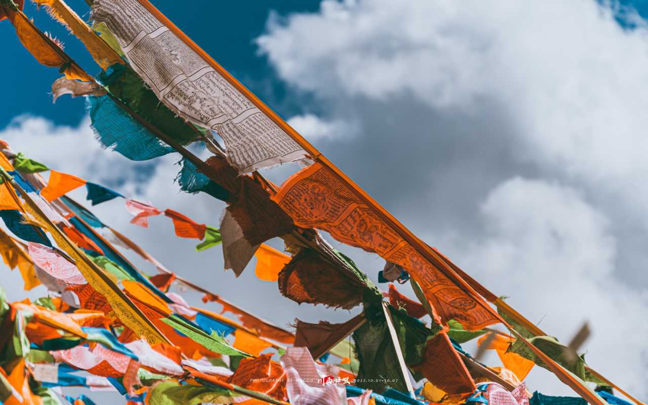
The wind was fierce at the top, and the prayer flags fluttered loudly. Many people were climbing while inhaling oxygen. I was fine, but I had to stop every three steps to catch my breath. I paid 10 yuan to ride a yak for a photo, with a Kham man operating the camera—worth it. Actually, there were second and third, higher peaks, but time was limited, and the whole group was waiting for us mother and daughter, so we had to turn back. The real reason: I couldn't make it any further. It was enough just to see it. That short staircase took us 50 minutes round trip. On flat ground, it would have been 10 minutes.
Overnight in Yajiang: China's Smallest County
Considering the risk of altitude sickness on the first day, we skipped Xinduqiao and went straight to Yajiang. This county covers only 0.48 square kilometers, built on both banks of the Yalong River valley, flanked by steep mountains. There's just one two-lane main street, and turning a car around is a challenge—if you're driving a large vehicle, don't book a hotel inside the town.
Yajiang is famous for matsutake mushrooms, known as "China's First Matsutake Town." This year was dry, and 300 grams of matsutake cost 900 yuan. I quietly walked away. At 2,640 meters above sea level, Yajiang is an ideal overnight stop for self-driving travelers on the Sichuan-Tibet Highway. During peak season, hotel prices skyrocket. When I booked in July, every hotel in Yajiang canceled my reservation one after another—it was the most troublesome stop of the trip.
Day Two: The Most Beautiful Stretch of National Highway 318
The Sky Road's Eighteen Bends and Kazila Mountain
On October 2, we gathered at 8 a.m., but the driver, Xiao Li (30 years old, 12 years of driving experience), forgot about the nucleic acid test. The testing point in Yajiang didn't open until 9 a.m., and large vehicles couldn't enter the narrow alleys of the county, so we had to walk through the "cliffside" small town to the square and queue. We finished at 10 a.m.—but it gave us a good chance to explore Yajiang, which reminded me a lot of a small Spanish town I once visited.
The Sky Road's Eighteen Bends (4,500 meters above sea level) lived up to its name. The road looked like it had been cut out with scissors. There are two viewing platforms where you can take in the full panorama. In the distance, you can see the highest peak in Sichuan Province; below, a dragon-like mountain road winds through the landscape.
Xiongzongka Viewing Platform (4,281 meters above sea level) and Nimagong Sacred Mountain Viewing Platform (4,668 meters above sea level) are both free viewing spots along National Highway 318. The former is great for viewing grasslands and mountains; the latter features a prayer flag tower and sweeping mountain ranges, majestic in scale.
Kazila Mountain Viewing Platform (4,718 meters above sea level) was the highest point I could reach on this trip. High-altitude meadows, sparse trees, and a biting cold wind. I took a quick photo, then painfully made my way to the "downstairs" toilet—why are plateau toilets always at the bottom of a slope? After squatting and standing up, I was half-dead and had to climb back up.
Litang: The Sky City and a Cup of Coffee
After crossing Kazila Mountain, an hour's drive brought us to "Sky City" Litang. The title of the highest county in the world made me wary, so I didn't arrange for the group to stay there. But since we were passing through, we couldn't miss Litang Coffee—15 yuan a cup, beating all chain brands hands down. Sitting in the café, calmly sipping a latte, I thought to myself: Sky City? Doesn't seem to affect me much.
Maoya Grassland and Sister Lakes
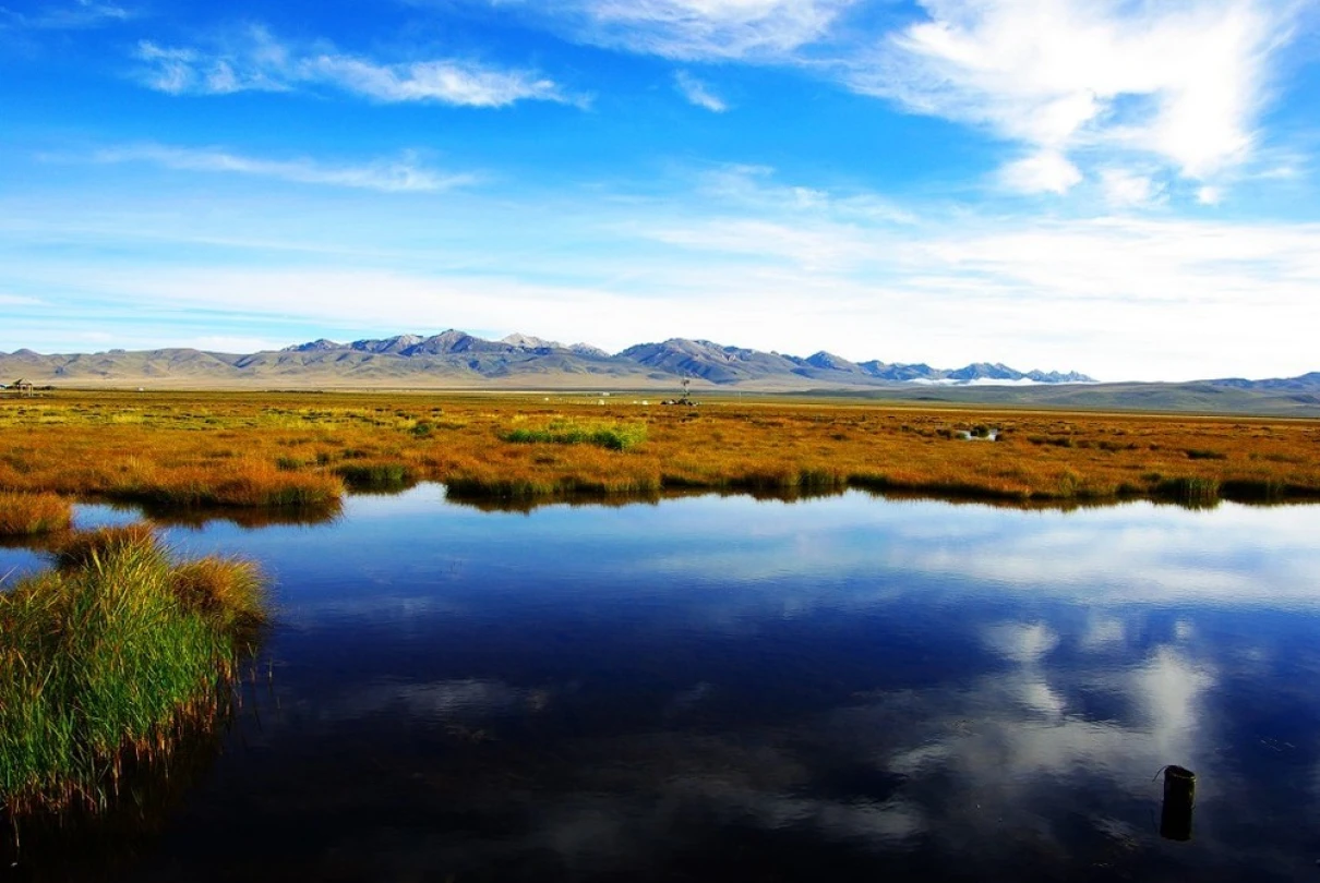
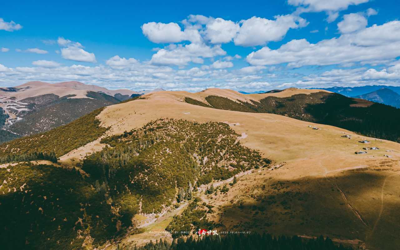
Maoya Dam Grassland (4,000 meters above sea level) is one of the most beautiful alpine grasslands in Western Sichuan. The golden autumn grass, dotted with black tents and yaks, stretches as far as the eye can see. [Link: Best photography spots in Western Sichuan] This is a must-stop for landscape photographers.
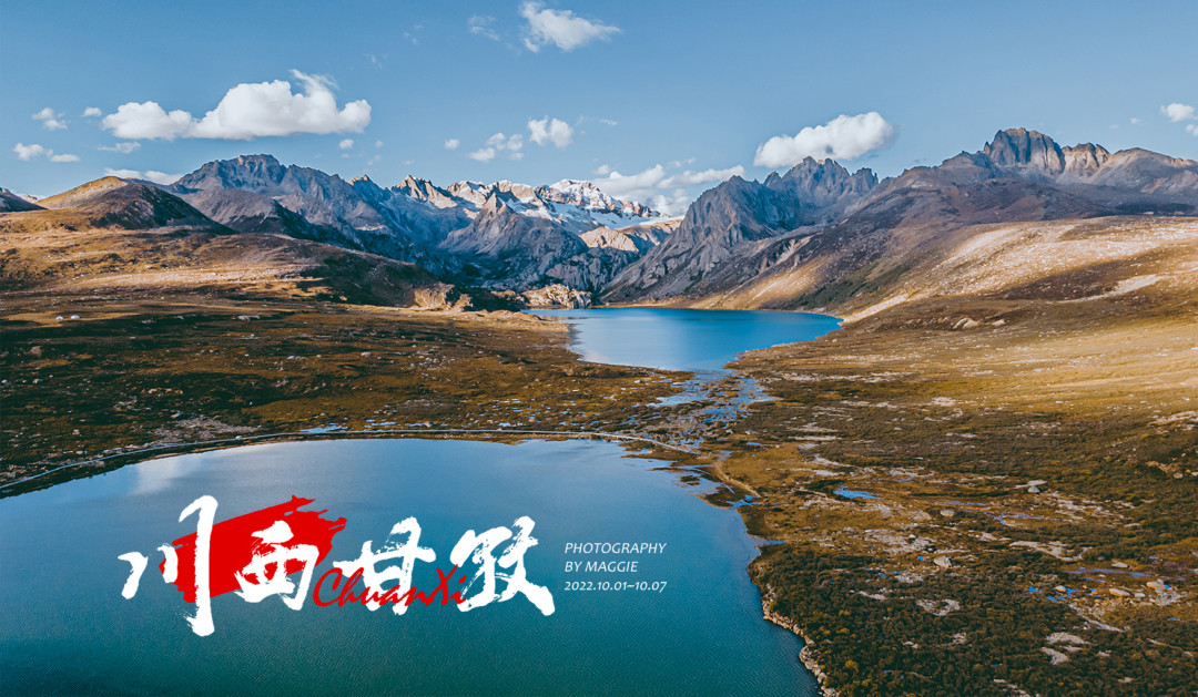
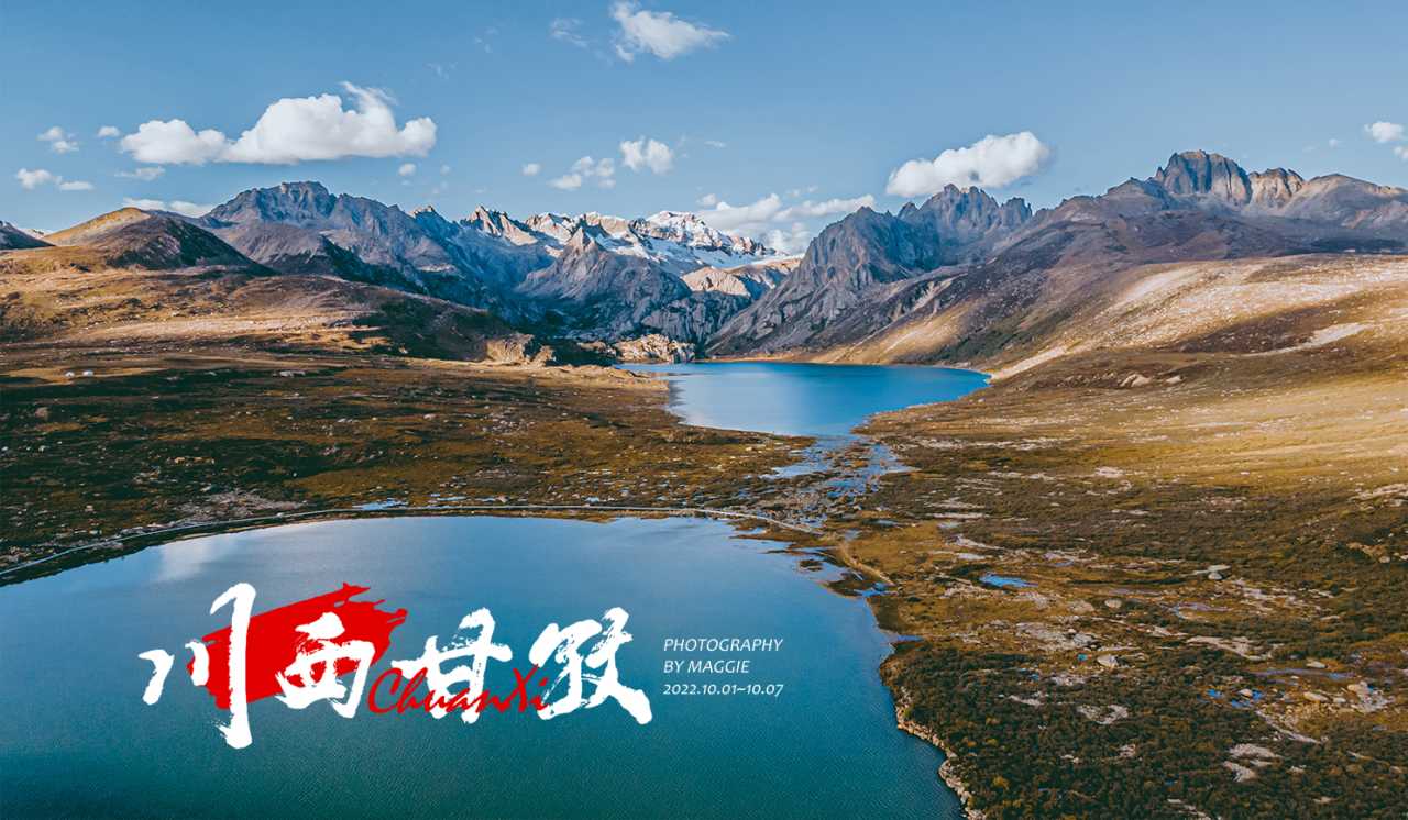
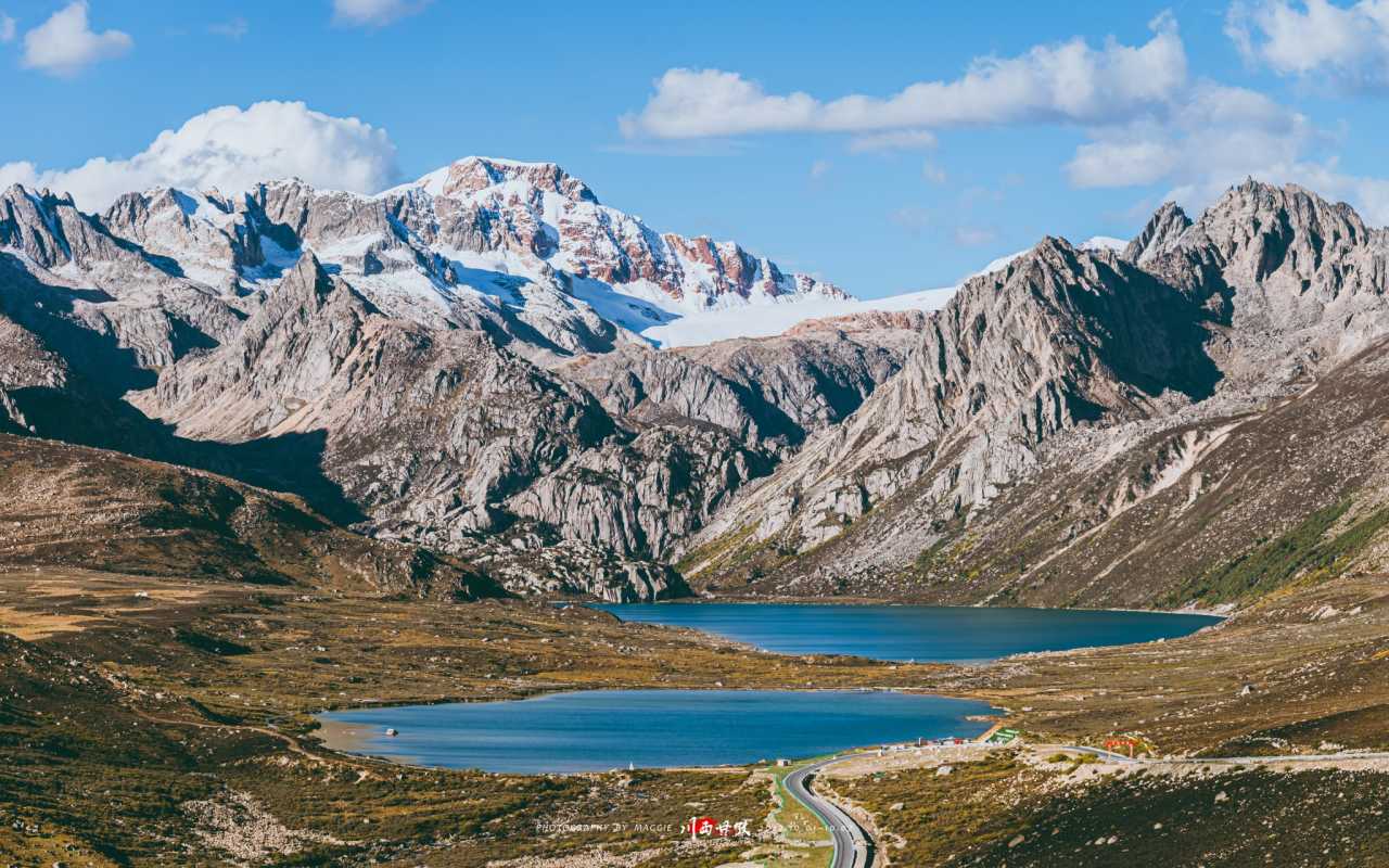
Sister Lakes (Cuopu and Cuona) are two adjacent glacial lakes lying quietly at the foot of the mountains. The water is turquoise, reflecting the surrounding peaks. On a clear day, the combination of blue sky, white clouds, and colorful prayer flags creates a postcard-perfect scene.
A Lucky Encounter with Snow Mountains and Good Fortune
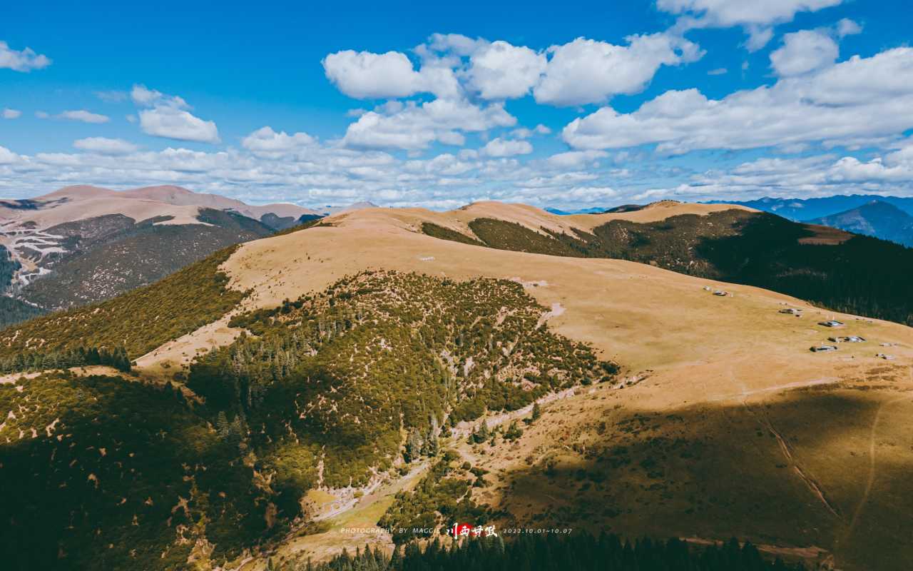
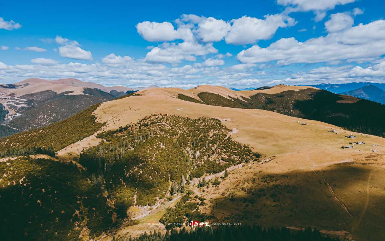
Throughout the seven days, the weather remained remarkably stable. Every morning, we woke to clear skies; every afternoon, we watched clouds drift lazily over snow-capped peaks. The snow mountains seemed to welcome us—from the distant Gongga Shan to the closer Yala Snow Mountain, each peak felt like a blessing.
Why this trip was special: 1. No crowds: During National Day, major scenic spots were eerily empty. 2. Budget-friendly: Airfare under 400 yuan, hotel prices at off-season rates. 3. Perfect weather: Seven consecutive days of sunshine in the rainy season. 4. Smooth travel: No traffic jams, no long queues at checkpoints. 5. Family-friendly: My 69-year-old mother completed the entire journey without altitude sickness.
Frequently Asked Questions (FAQ)

Q1: Is Western Sichuan safe to visit during National Day holiday?
A: Yes, but you need to plan carefully. Check local health policies, book hotels in advance (though prices may drop last-minute), and prepare for altitude sickness. Our trip was surprisingly smooth due to relaxed policies and reduced crowds.
Q2: What is the best way to avoid altitude sickness on a Western Sichuan road trip?
 A: Stay overnight at lower altitudes (like Yajiang at 2,640m) before climbing higher. Avoid strenuous activity on the first day. Drink plenty of water, avoid alcohol, and consider using portable oxygen cans. Our group had no major issues by following this strategy.
Q3: How much does a seven-day Western Sichuan self-drive trip cost?
 A: During off-peak times, expect to spend around 3,000–5,000 yuan per person including flights, accommodation, food, and fuel. During National Day, we saved significantly due to low demand—airfare was just over 300 yuan.
Q4: What are the must-see stops on National Highway 318 in Western Sichuan?
A: Key stops include Zheduo Mountain (first pass), Sky Road's Eighteen Bends, Kazila Mountain (highest point), Litang (Sky City), Maoya Grassland, and Sister Lakes. Each offers unique landscapes and photo opportunities.
Q5: Do I need a 4WD vehicle for this route?
A: Not necessarily. The main roads (National Highway 318) are well-paved. However, a high-clearance vehicle is recommended for some side roads. Our driver used a standard SUV without issues.
Your Turn: Plan Your Western Sichuan Adventure
If this story inspires you, here's your call to action:
- Check the latest travel policies for Garzê and surrounding areas.
- Book your flights and hotels early—or wait for last-minute deals like we did.
- Pack for all seasons: Sunscreen, warm layers, rain gear, and comfortable walking shoes.
- Prepare for altitude: Bring oxygen, medication, and a positive attitude.
- Share your experience: Tag us on social media with your snow mountain photos!
Remember: Sometimes, the best trips happen when you least expect them. Just go. Really.
This article was originally published on Mafengwo and rewritten for SEO optimization. All factual details, including prices, altitudes, and dates, are accurate as of the 2022 National Day holiday period.
You may also like