To the Clouds, Beyond the Mountains: A Complete Guide to Trekking Mount Siguniang's Three Valleys
Meta Description: Discover the ultimate trekking guide to Mount Siguniang's Three Valleys in Western Sichuan. From Balang Mountain panoramas to Changping Valley overnight hikes—plan your highland adventure now.
Introduction: A Highland Dream Worth Pursuing
Some travel plans age like fine wine—growing richer, more intense, and more anxiety-inducing with time. My dream of trekking Mount Siguniang in Western Sichuan had been parked in my phone's memo for two full years. It started with a bold vow to conquer the notoriously difficult "Longchuanbi" route, wavered into thoughts of switching to the Big Peak, and finally settled on trekking the Changping Valley. As someone prone to indecision, planning this Sichuan highland trek was a mental tug-of-war. It wasn't until every order was paid and confirmed that I finally let out a long sigh of relief.
Perhaps the most meaningful part of any journey is simply having the courage to set out. This Mount Siguniang trekking guide covers everything you need to know about exploring the Three Valleys of Mount Siguniang—Shuangqiao, Changping, and the unforgettable highland experience that awaits.
Balang Mountain: The Panda Kingdom Above the Clouds
The Winding Pilgrimage Road to the Four Sisters
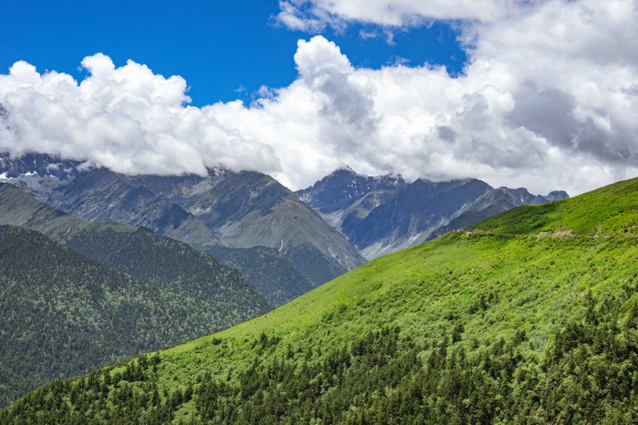
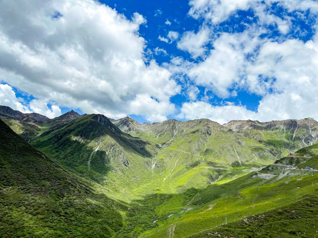
Setting out from Chengdu at dawn, we drove through the morning mist of Dujiangyan, entered Panda Avenue, and passed through the Balang Mountain Tunnel. The altitude climbed imperceptibly, and the temperature dropped with it. In local mythology, Balang Mountain is the father of the Four Sisters, with its main peak rising 5,040 meters and the mountain pass road reaching 4,480 meters.
The road along the ridge twisted and turned, with a bottomless valley on one side—thrilling and dangerous in equal measure. Just two days before our arrival, a traffic accident here had left two dead and two injured. [Link: Sichuan road trip safety tips]
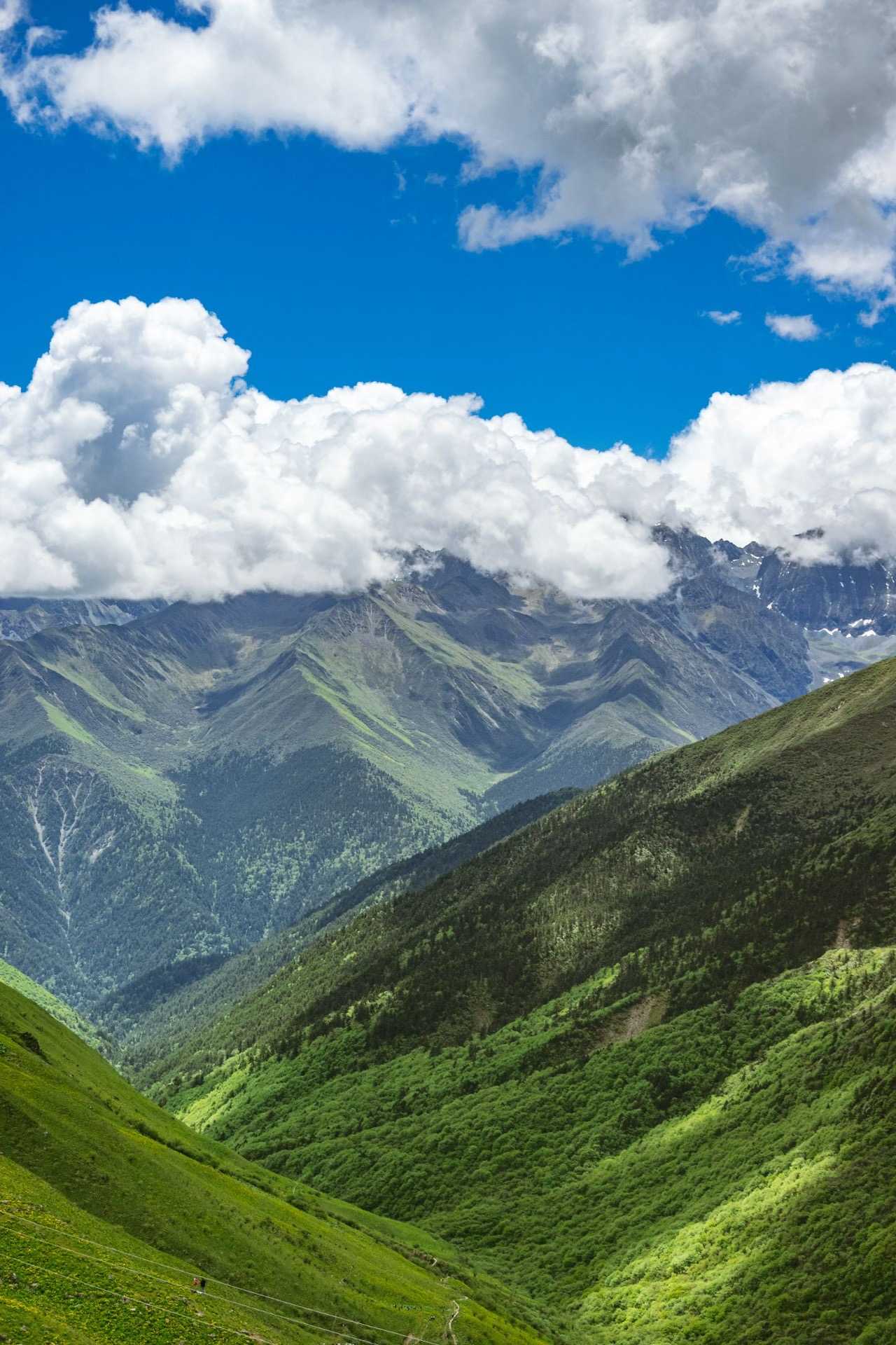
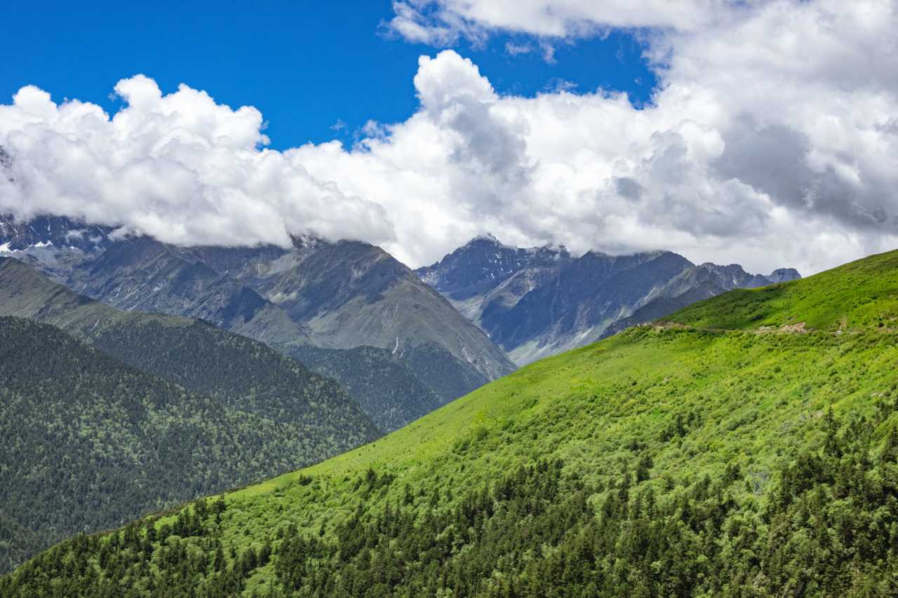
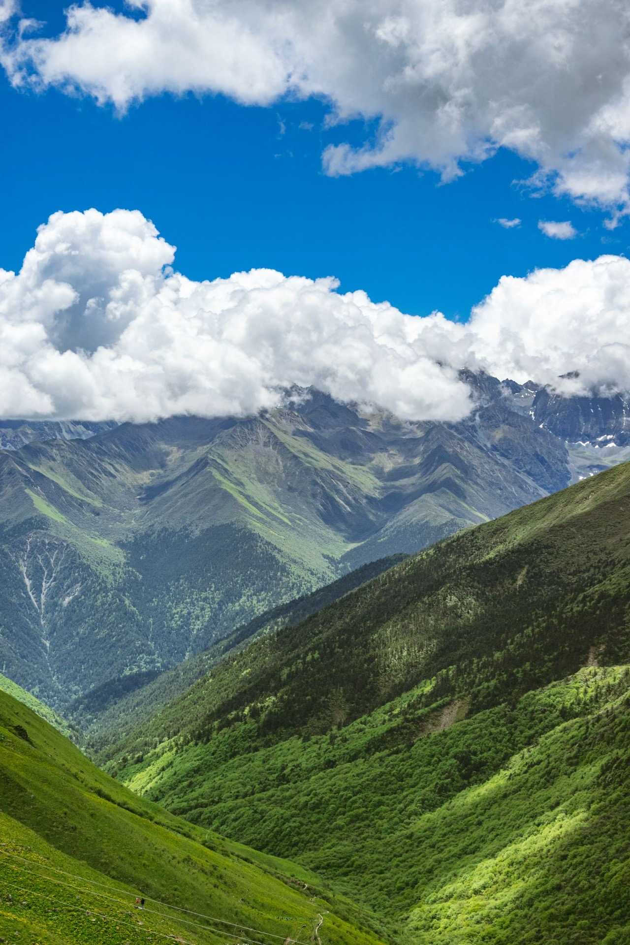
In the highland summer, Balang Mountain was breathtakingly beautiful. Distant snow-capped peaks stood majestically, clouds rolled across their summits, and at our feet lay a sea of wildflowers. This season, the meadows were covered in bright yellow blossoms. Some people were hiking down from Balang Mountain through Dengsheng Valley, while others climbed to the pass to face the ridge head-on.
After countless turns, we finally reached Cat's Nose Ridge near the town of Mount Siguniang. On a clear day, this spot offers a panoramic view of the entire mountain range—from left to right: Yaomei Peak, Third Peak, Second Peak, and Big Peak. Unfortunately, today the peaks were shrouded in clouds, and the snow cover was sparse.
Shuangqiao Valley: A Lesson from the Highlands
First Taste of Altitude Sickness on the Sightseeing Bus
About five hours later, we arrived at the town of Mount Siguniang. Unexpectedly, my head began to ache, and my eyes felt swollen—I thought it was carsickness. After all, I'd been to the 4,500-meter Hoh Xil without any altitude issues. But the highlands don't forgive those who underestimate them. I'd finally been caught by altitude sickness in Sichuan.
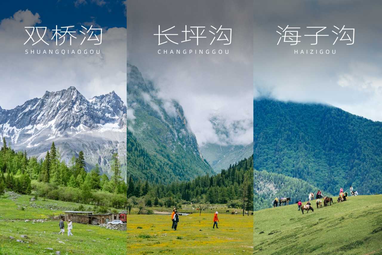
Shuangqiao Valley is the most developed of the three valleys, suitable for most tourists. The main way to explore is by sightseeing bus: you ride an hour to the highest scenic spot, then work your way down stop by stop. There are six stops in total: Redwood Forest, Potala Peak, Siguniang Lake, Silver Carp Dam, Longzhu Lake, and Renshengguo Meadow.
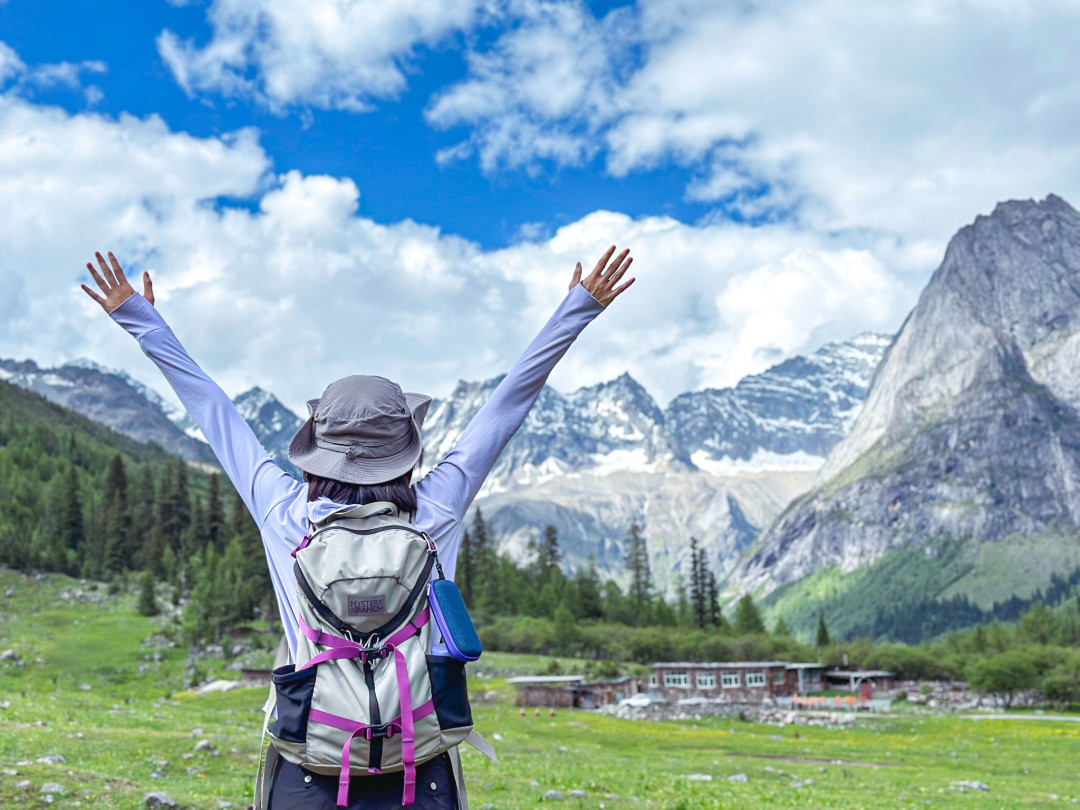
Our group was full of cheerful, adventurous, and kind young women. We had assembled backpacks from all the major outdoor brands—Gregory, Osprey, Mystery Ranch, Decathlon, and more. Traveling alone means freedom; traveling in a group means lively company. Everyone helped each other take photos, and we had a blast.
Time was tight, so each stop was a quick photo-op. We were lucky with the weather and still managed to see the "Eastern Alps" scenery. But I must say, Mount Siguniang is Mount Siguniang—it doesn't need to be framed as a copy of foreign landmarks. It has its own unique beauty.
Potala Peak is the best spot for snow mountain photos, while the rafting at Silver Carp Dam is the highlight of Shuangqiao Valley. The current was gentle, the glacial water crystal clear, and sitting in the boat with views of snowy peaks and forests was genuinely fun.
By the last stop, the weather suddenly turned—rain and cold set in, and my altitude sickness worsened. The highland weather changes in an instant. On the return bus, I nearly threw up and quickly swallowed a Fenbid to keep going. Back at the hotel in town, a torrential downpour began. Fenbid truly is a miracle drug for altitude sickness—once it kicked in, the headache disappeared. That evening, I braved the rain to join my companions for a steaming hot pot of yak meat. There's nothing quite like eating your fill of meat after a day on the trail.
Changping Valley: 25 Kilometers of Highland Trekking in Two Days and One Night
Departure: Setting Out in the Rain
Today was the highlight of the trip—a two-day, one-night trek through Mount Siguniang's Changping Valley, and my first-ever long-distance highland hike.
Changping Valley is semi-developed, and most people come here specifically for trekking. It was the Dragon Boat Festival holiday, so the number of people entering the valley was considerable. The outdoor management center was packed with people handling paperwork. It started raining as soon as we set out, and clouds covered half the mountain. I mentally prepared myself: in the outdoors, you have to go with the flow. Rain or shine, it's all part of the scenery.
The forest ecosystem of Mount Siguniang is excellent. The trees were draped with long, fluffy strands of beard lichen, like the whiskers of the forest—a sign of pristine air quality.
After the sightseeing bus dropped us near the Lamasery, we began walking on the man-made boardwalk. This section was actually quite dull—the weather was bad, and the scenery was basically a misty ink-wash painting of clouds around the mountains, boardwalk, forests, and rivers. Yaomei Peak was completely hidden.
From Boardwalk to Horse Trail: Where the Real Trekking Begins
About 7 kilometers into the valley, the man-made boardwalk ended. This is where the true beauty begins, especially the area beyond Wood Mule Station. I couldn't wait to get to the campsite. My pace didn't match my groupmates, so I gradually ended up walking alone. Stopping and starting by myself was actually quite pleasant.
After finishing the boardwalk, I switched to the horse trail. Only then did it feel like real highland trekking in Sichuan. Unlike yesterday's Shuangqiao Valley with its crowds of ordinary tourists, here there were only occasional mule caravans, horse-riding tourists, and small groups of trekkers. The deeper I went, the fewer people I saw. It became so quiet that only the sound of flowing water and birdsong remained. For long stretches, I was completely alone. I finally managed to flag down a fellow hiker to take a photo of me.
The trail to Wood Mule Station is actually well-established, with decent 4G signal throughout and even restroom facilities. It's safe for a woman to hike alone, as long as you follow the horse tracks (and the horse droppings). Most of the path is flat, with only about 200 meters of climbing right before reaching Wood Mule Station. Climbing uphill at high altitude feels like your heart is about to explode.
I walked and walked and walked through the small Changping Valley. It felt endless—absolutely endless.
Wood Mule Station: A Highland Paradise
Accompanied by the "fragrant" smell of horse manure and the rushing sound of meltwater streams from the glaciers, I kept hoping the clouds would part to reveal the snowy peaks. After 12.5 kilometers and about 6 hours, I reached the Wood Mule Station campsite at 3,760 meters. The view suddenly opened up from a forest path to a vast alpine meadow—it was genuinely stunning.

Wood Mule Station was incredibly beautiful. The wide alpine meadow was covered in small yellow flowers, surrounded by mountains, with 360 degrees of lush green. On one side was Mount Siguniang; on the other, across the rushing river, stood Camel Peak. Although it was rainy and cloudy, and the snowy peaks never showed themselves, it was still magnificent.
The hardworking mule caravan had carried our overnight luggage all the way here. As part of our Mount Siguniang trekking package, we had arranged for gear transport, making the hike much more manageable.
Frequently Asked Questions About Trekking Mount Siguniang
1. What is the best time to trek the Three Valleys of Mount Siguniang?
The optimal season is June to October, when temperatures are milder and wildflowers bloom. Summer (June–August) offers green meadows and active wildlife, while autumn (September–October) brings golden foliage and clearer skies. Avoid winter (November–March) unless you're an experienced mountaineer.
2. How difficult is the Changping Valley trek?
The Changping Valley trek is moderate to challenging. The 25-kilometer round trip involves about 6 hours of hiking each way with 200 meters of elevation gain near the campsite. Altitude sickness is the main concern—acclimatize in the town of Mount Siguniang (3,200m) for at least one day before attempting the trek.
3. Do I need a guide or can I hike independently?
You can hike independently on the main trail, as it's well-marked with 4G signal and restroom facilities. However, for the Longchuanbi route or off-trail exploration, a local guide is mandatory. Permits are required for overnight camping in Changping Valley.
4. What gear should I pack for a Mount Siguniang trek?
Essentials include: warm layers (temperatures drop to 5°C even in summer), waterproof hiking boots, rain gear, sun protection (UV is intense at altitude), a headlamp, snacks, and a reusable water bottle. For overnight treks, bring a sleeping bag rated to -5°C and a camping stove. [Link: highland trekking gear checklist]
5. How do I prevent altitude sickness?
Ascend gradually—spend a night in Chengdu (500m) and another in the town of Mount Siguniang (3,200m) before hiking. Stay hydrated, avoid alcohol, and consider taking acetazolamide (Diamox) after consulting your doctor. If symptoms worsen, descend immediately.
Conclusion: Your Highland Adventure Awaits
Trekking the Three Valleys of Mount Siguniang is more than a physical challenge—it's a journey into one of China's most pristine alpine landscapes. From the panoramic views at Balang Mountain to the developed beauty of Shuangqiao Valley and the raw wilderness of Changping Valley, each valley offers a unique perspective on the "Eastern Alps."
Whether you're a first-time highland trekker or an experienced mountaineer, Mount Siguniang has a trail for you. The key is preparation: acclimatize properly, pack wisely, and embrace the unpredictable mountain weather.
Ready to plan your Mount Siguniang trekking adventure? [Link: Book a guided trekking package] or [Link: Download our free Sichuan trekking checklist]. The clouds are waiting—and beyond them, the mountains call.
Have you trekked Mount Siguniang? Share your experience in the comments below, or ask any questions—we're here to help you plan your next highland adventure.
You may also like