G317 Northern Sichuan-Tibet Highway & China Panda Highway: A Journey Home Through Culture and Landscape
Meta Description: Explore the G317 Northern Sichuan-Tibet Highway and China Panda Highway (G350) from Lhasa to Chengdu. Discover sacred lakes, ancient trade routes, and cultural treasures on this 3,023-km journey home.
Introduction: Why G317 Deserves Your Attention
"Read ten thousand books, travel ten thousand miles." Nowhere is this saying more fitting than on the Sichuan-Tibet Highway. While the famous G318 offers a visual feast of snow mountains, lakes, and grasslands, the G317 Northern Sichuan-Tibet Highway reads like a weighty history book—cutting through regions inhabited by Han, Qiang, Hui, Manchu, and Tibetan peoples, with cultural landmarks scattered like pearls along the road.
In September 2025, I set out alone behind the wheel of my SUV, departing Lhasa on a homeward route completely different from the famous G318. From there, I connected to G345 and G214, before finally merging onto the road known as the China Panda Highway (G350) , heading east all the way to Chengdu.
Total distance: 3,023 kilometers
Time: 21 days
Highlights: The 1,300-year-old Tang-Tibetan Ancient Road, sacred mountains and holy lakes from epic tales, and the stunning rediscovery of ancient Shu civilization.
Days 9-10: From Nam Co to Qinghai's Heavenly Crossing
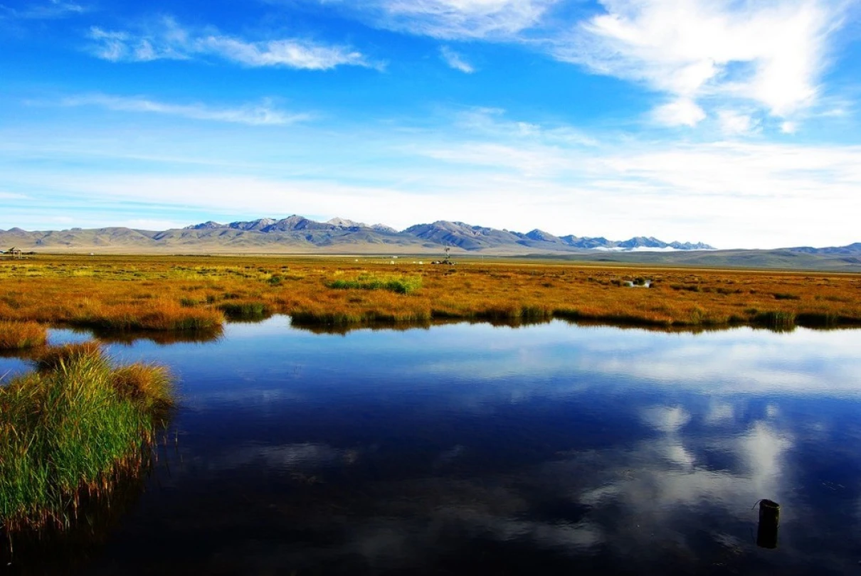
Saying Goodbye to a Sacred Lake
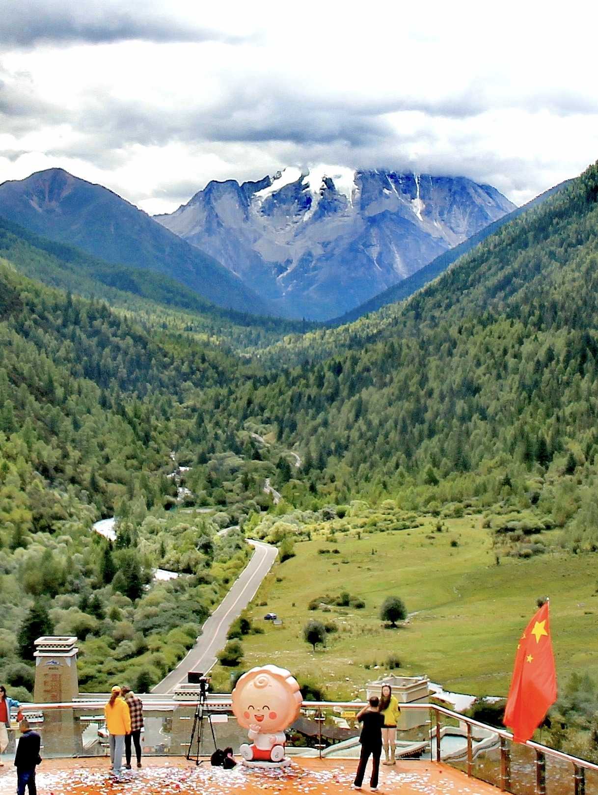
On the afternoon of September 17, I reluctantly drove away from Tashi Island on Nam Co Lake. The deep blue of the water still echoed in my mind as my wheels rolled across 241 kilometers of high-altitude highway, arriving in Nagqu City by evening.
The next morning, I set out early for Zadoi County in Yushu Tibetan Autonomous Prefecture, Qinghai Province. The 464-kilometer drive took nearly ten hours, and the scenery along the way gradually shifted from the vastness of the northern Tibetan grasslands to the boundless expanse of the Qinghai Plateau.
The Tongtian River Bridge: Where Legend Meets History
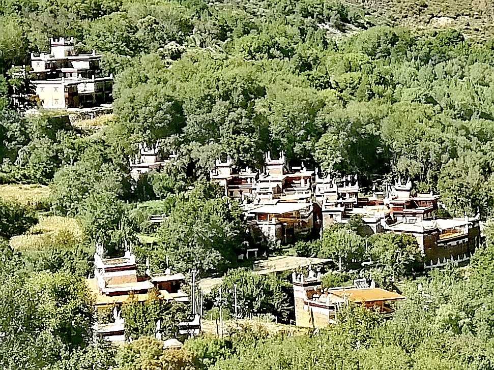
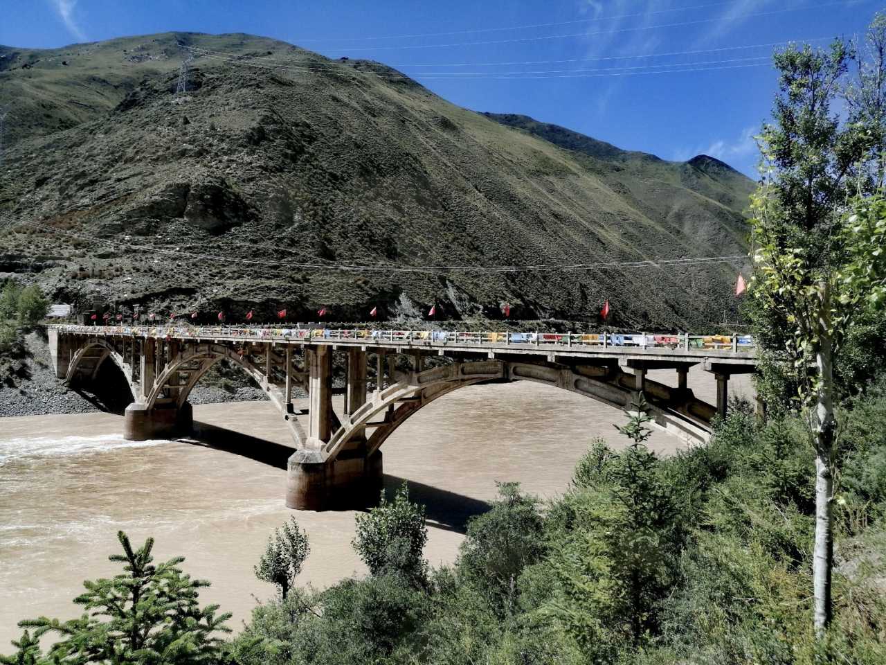
I chose this route with a single obsession in mind—I wanted to see the Tongtian River Bridge with my own eyes. The "Heavenly Crossing" where the bridge stands was once a vital ferry point for Han and Tibetan envoys, monks, and merchants. Even more captivating is the legend that the bridge is linked to the famous "Drying the Sutras" episode in Journey to the West, where the monk Tang Sanzang and his disciples had their scriptures soaked by an old turtle and dried them on the riverbank. Standing there, I could almost picture the scene.
Day 11: Princess Wencheng Memorial Hall – A 1,300-Year-Old Story of Ethnic Unity
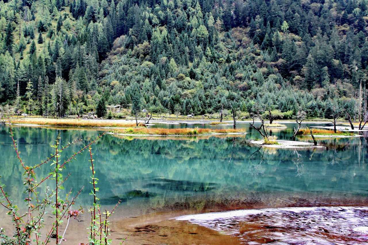
The Heart of Han-Tibetan Cultural Exchange
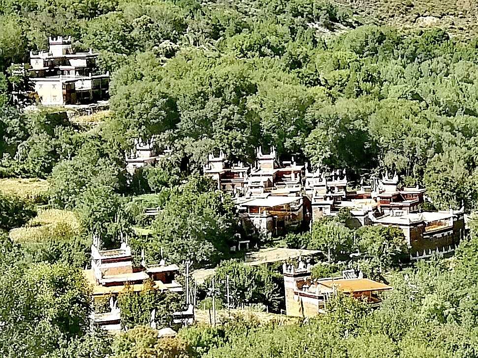
At 7:30 a.m. on September 19, I left Zadoi and drove 198 kilometers to the Princess Wencheng Memorial Hall, located in Benagou, Batang Township, Yushu City. At an elevation of over 3,700 meters, just off the G214 highway, it is said to be the place where Princess Wencheng stayed the longest during her journey into Tibet.
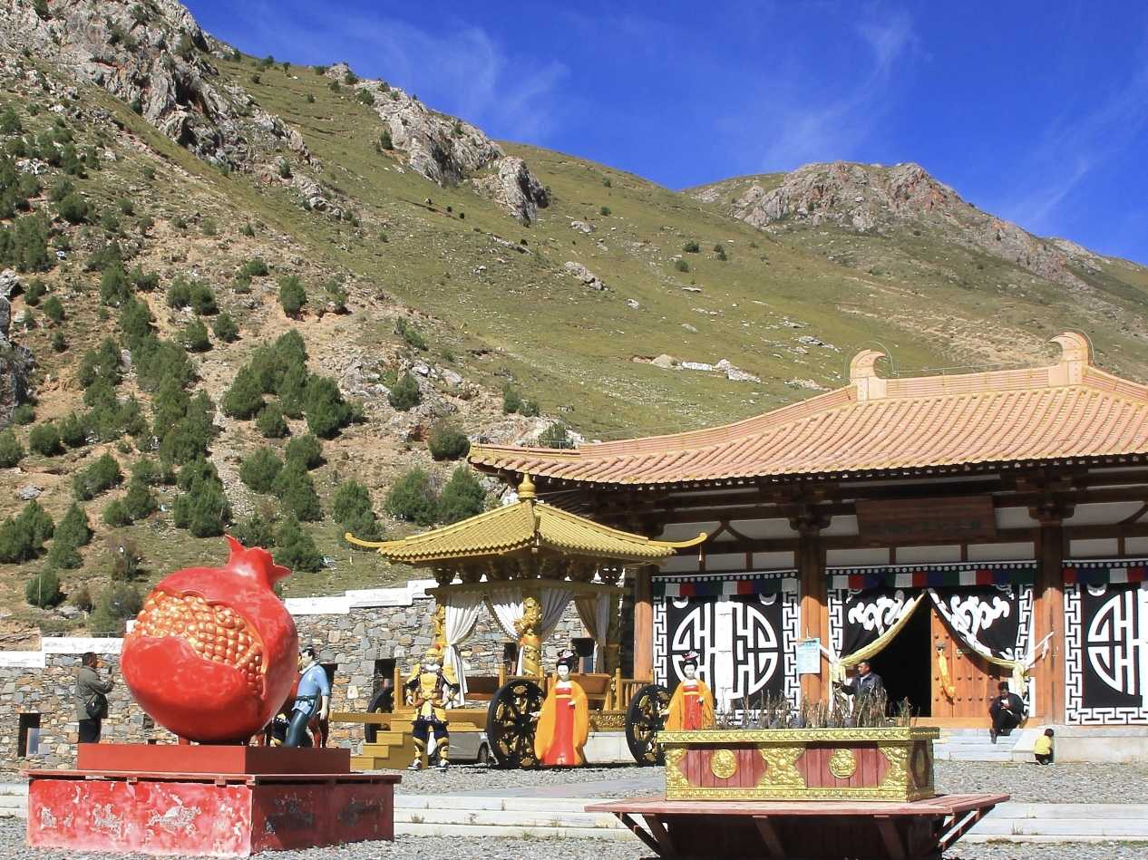
When I stepped onto the memorial hall's square, the sight before me took my breath away: a fiery red "pomegranate" sculpture, a magnificent horse-drawn carriage procession, and Tang Dynasty-style architecture set against the deep blue sky and towering mountains. It was as beautiful as a painting.
Architectural Symbolism and Thematic Exhibitions
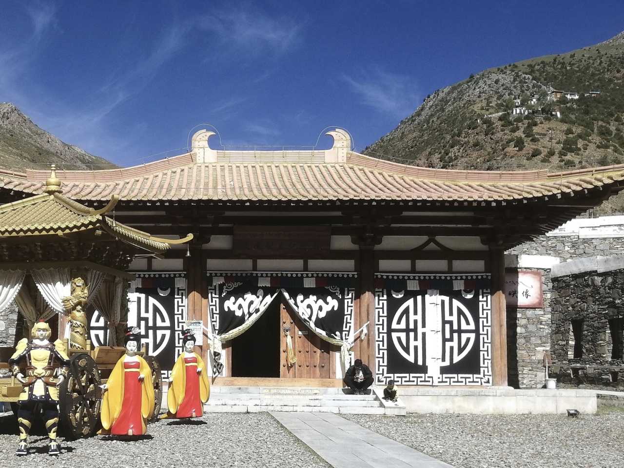
The hall's design is remarkably thoughtful, themed around the "Great Tang Heavenly Road." The entrance is a fully wooden Tang-style gate tower, simple yet grand. The main building resembles a Tibetan-style climbing path, blending harmoniously with the mountain terrain—a symbol of Han and Tibetan cultural fusion. In front of the gate, a lifelike model of Princess Wencheng's imperial procession tells the story of her journey across mountains and rivers to every visitor.
Inside, five themed exhibitions systematically showcase the history of Princess Wencheng's journey to Tibet. What moved me deeply was the story of how she taught local people in the Batang area the techniques of weaving and medicine. The collection includes thangkas, Tubo Dynasty clothing, Tang Dynasty coins, and Buddhist ritual implements—each piece carrying the weight of history.
Right next to the memorial hall stands the Princess Wencheng Temple, also known as the Mahavairocana Buddha Hall. Built during the Tang Dynasty, it is over 1,300 years old and an important cultural relic of the Tang-Tibetan Ancient Road. Unfortunately, I wasn't able to enter that day—a genuine regret.
Practical Tips: - Opening hours: Monday to Friday, 9:00–12:00 and 15:00–18:00 (closed for a three-hour lunch break—plan accordingly) - Admission: Free
Tongtian River Bridge and the Three Rivers Source Monument: Where Nature and Legend Meet
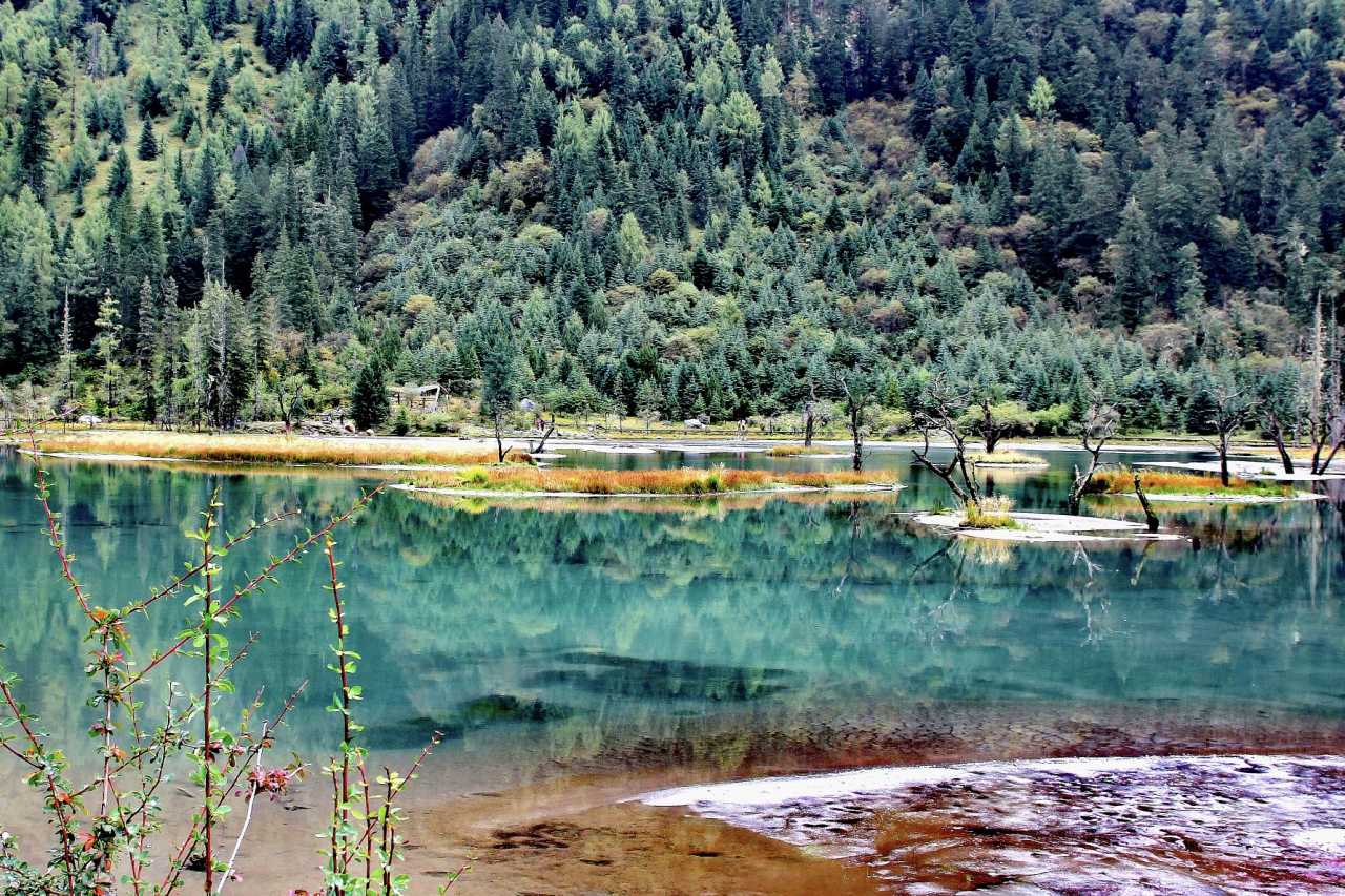
A Bridge Closed, But Not Forgotten

Leaving the memorial hall, I continued along G214 toward two closely linked landmarks—the Tongtian River Bridge and the Three Rivers Source Nature Reserve Monument.
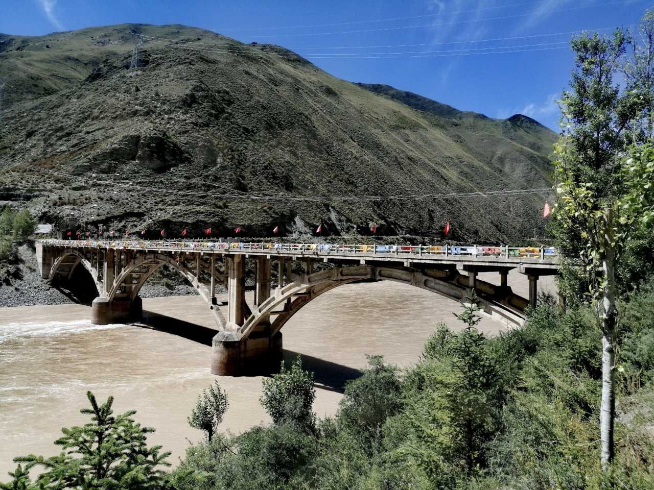
When I reached the northeast end of the bridge, I found it closed for maintenance, with no access allowed. Standing at the bridgehead, looking at this old structure that had once carried countless travelers, I felt a wave of emotion. According to records, the bridge sits precisely at the site of the "Heavenly Crossing." About 2.2 kilometers away lies the "Tang Monk's Sutra-Drying Spot"—which I regretfully missed.
The Three Rivers Source Monument: China's Water Tower
But the nearby small park held a consolation: the Three Rivers Source Nature Reserve Monument, towering and solemn. Erected on August 19, 2000, it marks the formal establishment of the reserve. The monument is built from 56 granite blocks, symbolizing China's 56 ethnic groups. Above them, two giant hands represent humanity's protection of the "Three Rivers Source."
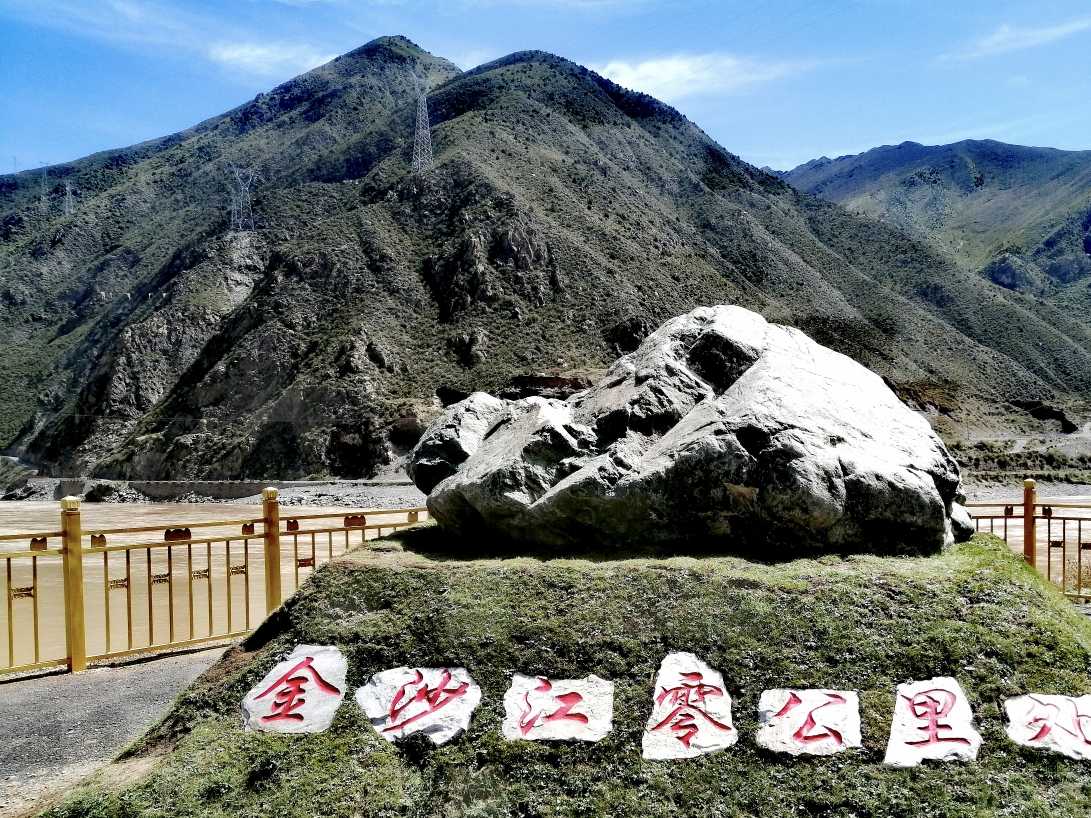
Key monument details: - Height: 6.621 meters (corresponding to the 6,621-meter elevation of Mount Geladandong, the source of the Yangtze River) - Base height: 4.2 meters (representing the reserve's average elevation of 4,200 meters) - Area: 363 square meters (corresponding to its 363,000-square-kilometer area)
Standing before the monument, looking at the source markers for the Yangtze, Yellow, and Mekong Rivers, the term "China's Water Tower" suddenly felt profoundly real.
That night, I checked into a hotel in Dêgê County, Garzê Tibetan Autonomous Prefecture, Sichuan, to rest up for the next day's journey.
Day 12: Yulong Lake and the Gesar King City – Sacred Mountains, Holy Lakes, and Heroic Epics
Yulong Lake: A Sacred Lake at First Sight
On September 20, I left Dêgê County, first taking G215 and then switching to G317 toward Luhuo County. Along the way, two scenic spots right off the G317 had me eagerly anticipating the drive.
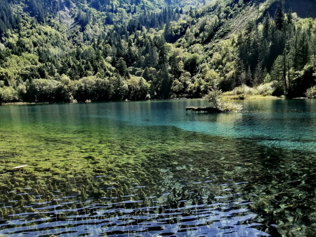
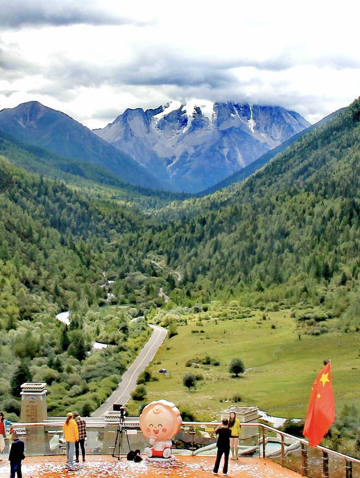
Yulong Lake lies at the foot of Chola Mountain in Dêgê County, at an elevation of 4,040 meters. Its more common Chinese name is "Xinluhai," or "New Road Lake," a name given by the People's Liberation Army soldiers who built the Sichuan-Tibet Highway in the 1950s, meaning "the lake beside the newly opened road."
But "Yulong Lake" carries a more poetic meaning. Legend has it that Zhumo, the beloved consort of King Gesar, came here and was so captivated by the lake's beauty that she lingered on its shores, unable to leave. To commemorate her, later generations named the lake "Yulong Lake," which means "a sacred lake that captures the heart at first sight."
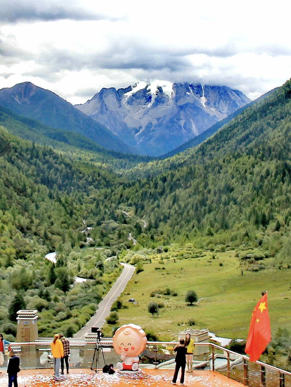
After taking the sightseeing bus to the final stop and walking along the path to the lakeshore, I was speechless. The water was crystal clear, shimmering in a jade-like turquoise. On the shore, the main peak of Chola Mountain, "Rongmai Angza," stood majestically at 6,168 meters, its glaciers cascading down against a backdrop of blue sky and white clouds—so sacred it inspired awe.
Practical Tips: - Opening hours: 9:00–17:30 - Admission: Half-price discount at 50 RMB per person; sightseeing bus 20 RMB per person
FAQ: Planning Your G317 & China Panda Highway Journey
1. What is the best time of year to drive the G317 Northern Sichuan-Tibet Highway?
The best time is September to October when the weather is stable, skies are clear, and autumn colors enhance the landscape. Avoid July and August (rainy season, risk of landslides) and November to March (heavy snow and road closures). Spring (April-May) is possible but unpredictable.
2. How does G317 compare to G318 for a first-time Tibet road trip?
G317 is more culturally focused and less crowded than G318. While G318 offers spectacular mountain and lake scenery, G317 provides deeper immersion into Tibetan Buddhist culture, ancient trade routes, and ethnic minority villages. G317 also has higher average elevations, so altitude preparation is critical.
3. What vehicle is recommended for this route?
A high-clearance SUV is strongly recommended. While sections of G317 are well-paved, you'll encounter unpaved roads, mountain passes, and potential landslide zones. Ensure your vehicle has off-road tires, a full-size spare, and emergency recovery gear.
4. Do I need special permits for this journey?
Yes. You need a Tibet Travel Permit for Lhasa and prefecture-level areas. For sections passing through border regions (like Yushu and Garzê), additional permits may be required. [Link: Tibet travel permits and regulations] Always check with local authorities or a travel agency before departure.
5. How should I prepare for high-altitude travel on G317?
Acclimatize gradually—spend at least 2-3 days in Lhasa (3,650m) before driving. Carry diamox (acetazolamide) for altitude sickness, drink plenty of water, avoid alcohol, and have portable oxygen canisters. Emergency descent routes should be planned in case of severe symptoms.
Internal Linking Suggestions
- [Link: Complete Tibet travel guide – permits, routes, and tips]
- [Link: Top 10 cultural landmarks on the Sichuan-Tibet Highway]
- [Link: China Panda Highway (G350) itinerary and wildlife spotting]
- [Link: How to plan a 21-day Lhasa to Chengdu road trip]
- [Link: Princess Wencheng history and Tang-Tibetan relations]
Conclusion: Your Journey Home Awaits
The G317 Northern Sichuan-Tibet Highway and China Panda Highway offer more than just a road trip—they offer a journey through time, culture, and landscape. From the sacred waters of Nam Co to the epic legends of King Gesar, from the 1,300-year-old legacy of Princess Wencheng to the awe-inspiring Three Rivers Source, every kilometer tells a story.
Whether you're a history buff, a nature lover, or a spiritual seeker, this route delivers an experience that no other highway in China can match.
Ready to plan your own journey? Start with our comprehensive guide to Tibet travel permits and road conditions. [Link: Tibet travel permits and regulations]
Share your story: Have you driven the G317 or China Panda Highway? Tag us with your photos and experiences—we'd love to feature your journey!
Note: This article is based on a firsthand account from September 2025. Road conditions, opening hours, and admission fees may change. Always verify with local sources before traveling.
You may also like