From Basin to Plateau: My G318 Sichuan-Tibet Cycling Diary (Chengdu to Litang)
Meta Description:
An epic 1,500km cycling journey from Chengdu to Litang on National Highway 318. Discover daily challenges, heatstroke battles, and the spiritual calling that drives cyclists to Tibet. Your ultimate G318 cycling guide.
Introduction: Why the G318 Sichuan-Tibet Highway Calls to Every Cyclist
Twenty years ago, I wobbled on a 28-inch bicycle through Jiangnan alleyways, never dreaming that same two-wheeled machine would one day carry me across half of China. In the summer of 2022, after Shanghai's 78-day lockdown, I made a choice that stunned everyone: I would cycle to Lhasa. A million-yuan salary sat waiting, but I chose the road.
For cyclists worldwide, National Highway 318 (G318) is the ultimate pilgrimage route into Tibet. Driving is too fast, walking too slow—a bicycle measures every inch of sacred land. This diary chronicles the first leg: from Chengdu's basin to the high plateau at Litang, where fate forced an unexpected pause. Now, as I prepare to resume, this story continues.
Day 1: Chengdu to Qionglai – Baptism Under the Scorching Sun

Distance: 85 km
Challenge: 38°C heat, heatstroke, and road detours
Chengdu in early August, during a historic drought, was an inferno. My companion and I set off at 8:30 AM, panniers loaded, bikes wobbling under the weight. The first overpass was closed—we spent an hour navigating Chengdu's labyrinthine streets just to break free.
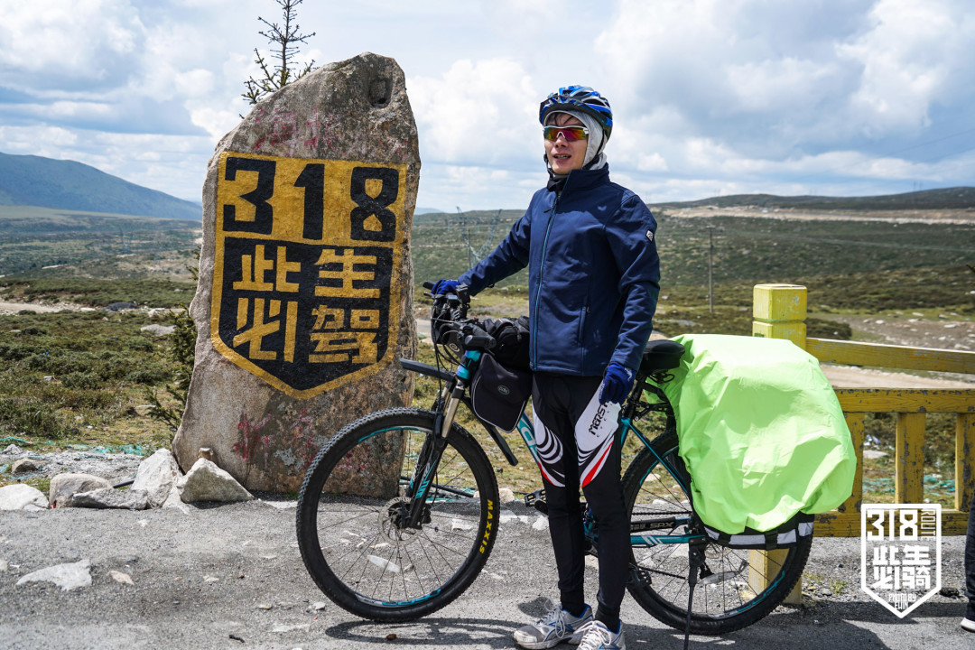
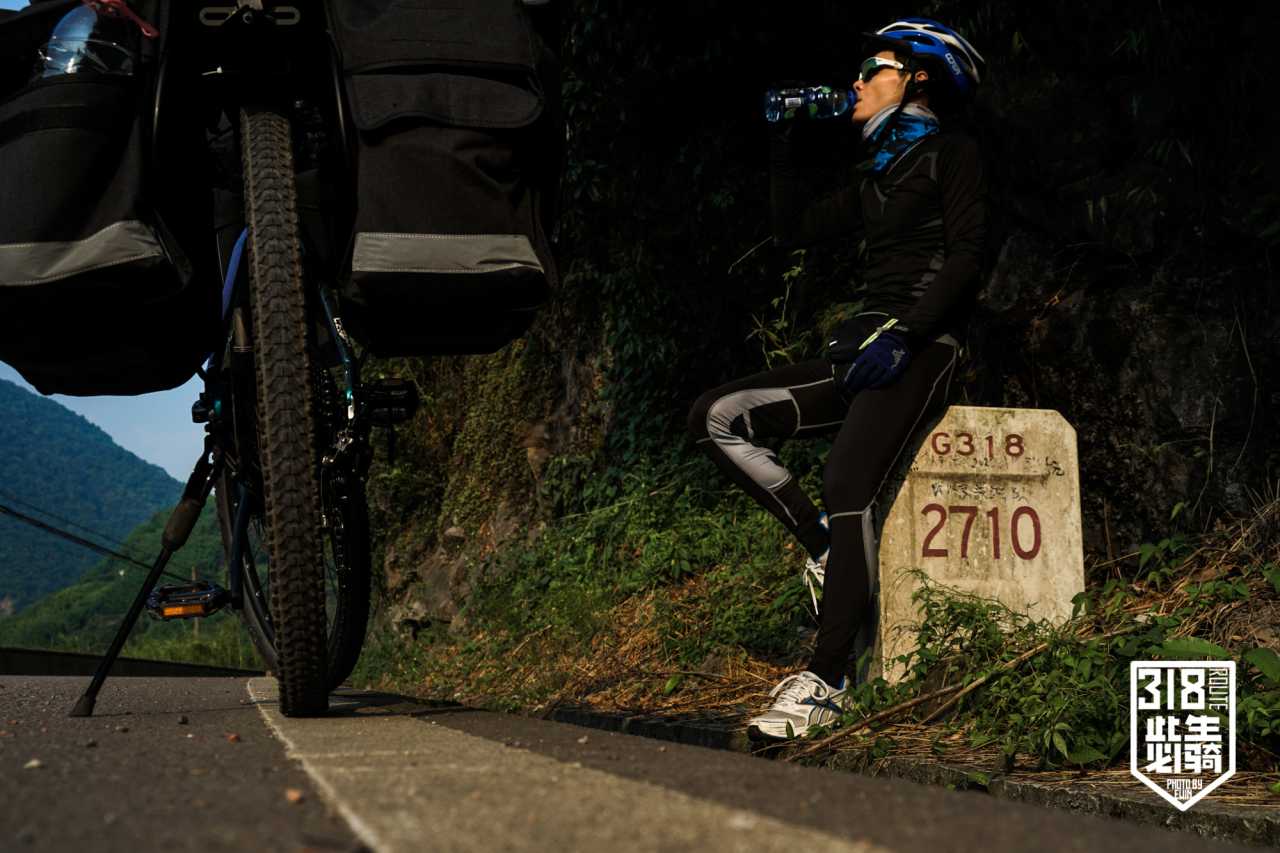
First G318 Milestone
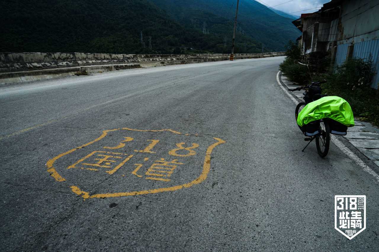
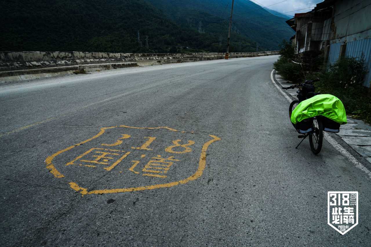
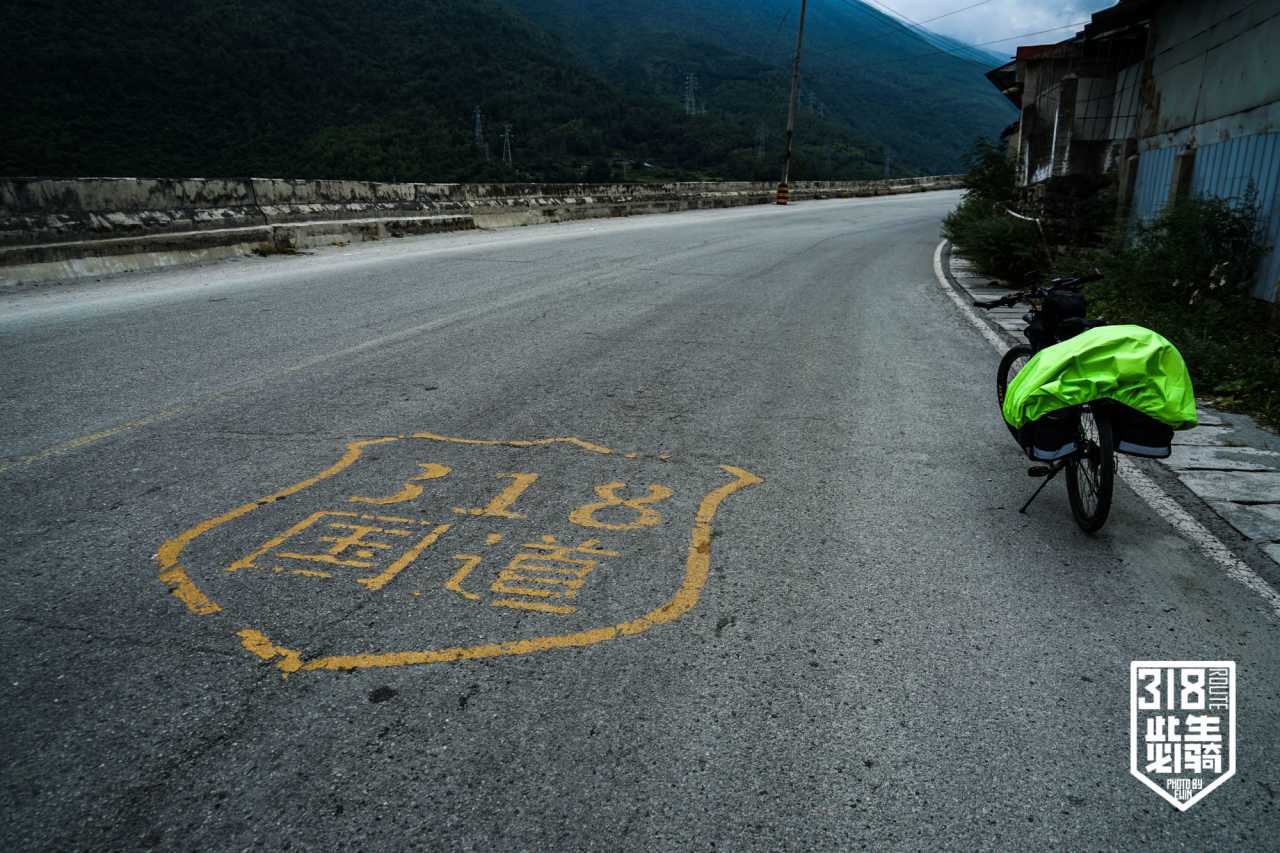
Thirty kilometers in, we spotted it: the first G318 road sign, red numerals blazing under the sun. That moment ignited adrenaline. But the 38°C heat was merciless. Real-feel temperatures exceeded 50°C. My companion showed heatstroke symptoms—nausea, dry-heaving, slowing pace. I waited under overpasses, watching even dogs lie limp in the shade.
Decision at the 50km Mark
A shabby roadside shop saved us. I downed two bottles of iced Mizone before speaking. "No way we make Ya'an today," my companion said. I agreed. We diverted to Qionglai.
The final 30km was torture. My companion collapsed—bike and all—onto the sidewalk outside town. After lying there minutes, he gritted his teeth and pedaled to the hotel. The front desk refused bike storage; we hauled them upstairs.
Lesson learned: In extreme heat, carry 4+ liters of water. We had only 2.1.
Day 2: Qionglai to Ya'an – Dueling with the Sun
Distance: 66.5 km
Key terrain: Mozishan (Millstone Mountain) climb
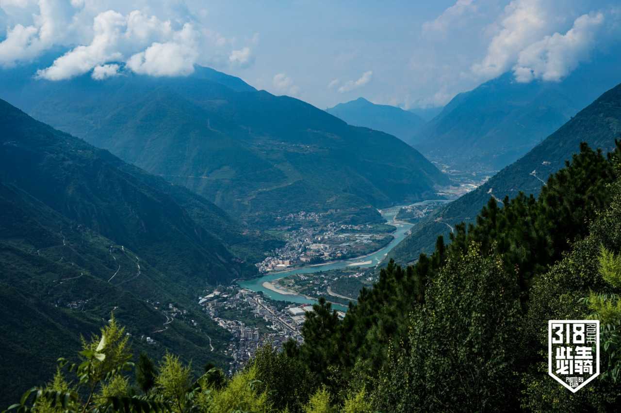
After recovery, we set off at 9 AM with 1.5L water and 600ml sports drink—still too little. Right outside town, Mozishan's steep climb awaited. We passed milestone marker 2600 km.
Heatstroke Returns
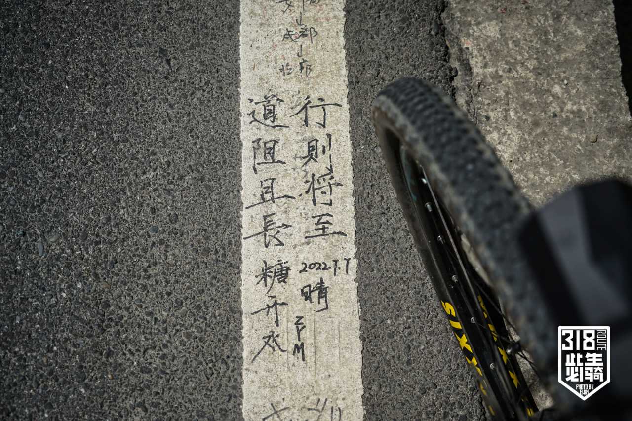
Within an hour, my companion was nauseous again. "I'd rather it poured rain than this," he said. In Datang Town, we found a deserted cycling hostel—graffiti-covered walls spoke of busier times. COVID had decimated the touring community.
The Afternoon Strategy
At a noodle shop, I ordered lamb noodles while he drank water. We decided to rest until 2 PM, skipping noon cycling. Conversation revived his appetite—he ordered lamb offal soup with rice noodles. We didn't leave until 2:30.
Entering Ya'an
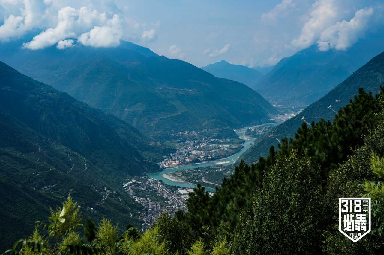
Passing Heizhu Town, tea bushes covered the hillsides. After 4 PM, clouds finally gathered—proper cycling weather. I ground up Baizhang Pass in my lowest gear, then faced my first tunnel: pitch black, sunglasses off, rear light on.
The downhill through Jinjiguan Archway brought us into Ya'an. At the hotel, my companion decided to bus to Xinduqiao tomorrow. We celebrated with Chongqing hotpot and talked until 2 AM.
Day 3: Ya'an to Tianquan – A Slow Solo Ride
Distance: 44 km
Highlights: Ya'an Covered Bridge, solo reflection
I woke at 8 AM, planning a rest day. Instead, impulse struck. My companion would bus ahead; I asked him to carry my wide-angle lens and tripod. Packing revealed dead weight: waterproof jacket, sleeping bag liner, DSLR.
The Ya'an Covered Bridge
I detoured to see Ya'an's most famous landmark: the Covered Bridge spanning the Qingyi River. This pseudo-classic structure, China's longest covered bridge, has a commercial zone built onto its deck. It's a must-see for any G318 cyclist starting from Chengdu.
I finally left after 11 AM—forgot my bike key, adjusted helmet strap endlessly. But solo riding has its own rhythm. No pressure. No heatstroke companion to worry about. Just 44 km to Tianquan.
The Journey Continues: Why This Route Matters
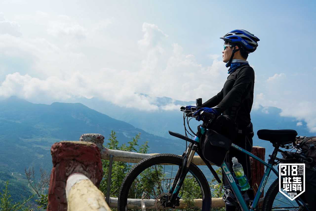
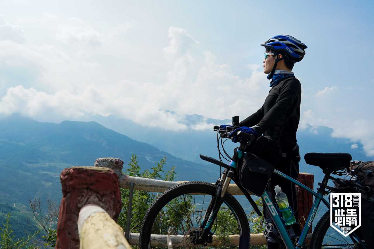
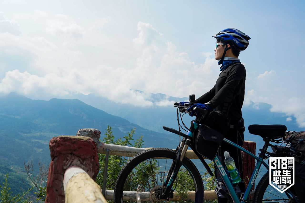
From Chengdu's 500-meter basin to Litang's 4,000-meter plateau, the G318 Sichuan-Tibet Highway climbs through dramatically changing landscapes. This section—Chengdu to Litang—is the physical and spiritual gateway to Tibet. Every cyclist must master:
- Heat management in the basin
- Altitude acclimatization beyond Kangding
- Gear reduction (I learned this the hard way)
- Mental endurance when companions turn back
My own journey paused at Litang when Tibet's COVID outbreak spread. I waited a month in a Tibetan villager's home, hiked to Yading and Mount Gongga, then returned to Shanghai alone. But that unfinished dream? It resumes in less than a month.
FAQ: G318 Sichuan-Tibet Cycling Essentials
Q1: What's the best season for G318 cycling?
 A: May-June and September-October offer moderate temperatures. Avoid July-August heat (38°C+ in basin) and July-September monsoon rains. Winter is dangerous above 4,000m.
Q2: How much water should I carry daily?
A: Minimum 4 liters in summer heat. We learned this painfully—2 liters caused heatstroke. Supplement with electrolyte drinks at roadside shops.
Q3: What gear is essential for beginners?
 A: Lightweight panniers, rear light for tunnels, sun protection (UV is intense at altitude), basic repair kit, and a wide-angle lens for photography. Leave waterproof shoes and sleeping bag liner—they're dead weight.
Q4: How do I handle altitude sickness?
 A: Acclimate gradually. Stop at Kangding (2,600m) for 1-2 days. Avoid rapid ascents beyond 500m/day. Carry acetazolamide (Diamox) if prone to altitude issues.
Q5: Is it safe to cycle solo?
A: Yes, but join a group for remote sections. Solo riding requires self-sufficiency—know basic bike repair, carry satellite communication, and share your route with someone daily.
Internal Linking Suggestions
- [Link: Complete G318 Sichuan-Tibet Route Guide]
- [Link: Altitude Sickness Prevention for Cyclists]
- [Link: Best Cycling Gear for Long-Distance Tours]
- [Link: Ya'an Travel Guide – Must-See Attractions]
- [Link: Litang to Lhasa – The Final Leg]
Your Turn: Answer the Call of the Road
The G318 isn't just a highway—it's a pilgrimage. Every pedal stroke measures your commitment, your resilience, your surrender to the road. I traded a million-yuan salary for this. What will you trade?
Start planning your G318 cycling adventure today. Whether you're dreaming of Chengdu's heat or Litang's plateau, the road is waiting. Pack light. Hydrate smart. And when the sun beats down and your companion turns back, remember: the best journeys are the ones that test you.
Ready to cycle the G318? Share your questions or plans in the comments below. And if you've already ridden this route, tell us your story—every cyclist's diary deserves to be read.
This article is based on a true cycling diary from Chengdu to Litang. Follow for upcoming entries on the full Sichuan-Tibet journey.
You may also like