Above the Clouds: Your Ultimate Guide to Climbing Mount Siguniang's Second Peak (5,276m)
Meta Description: Planning a Mount Siguniang climb? Read our firsthand account of summiting the Second Peak at 5,276 meters. Includes gear checklist, route guide, altitude sickness tips, and FAQs for first-time snow mountain trekkers in Sichuan.
Introduction: How a Last-Minute Decision Led to an Unforgettable Summit
The most remarkable journeys in life often begin with a random thought. For me, that thought was: "What if I climb Mount Siguniang's Second Peak instead of trekking Gongga?"
It was September 2020. My original plan for the National Day holiday was to trek the Gongga Mountain loop—the "King of Sichuan Peaks." I had bookmarked countless Gongga travel guides on Mafengwo, signed up for a group tour, and even convinced my friend Biaozi to join. But when my other friend Old Cheng bailed (he started dating someone—just months after our carefree Qinghai Lake cycling trip), Biaozi and I had to rethink everything.
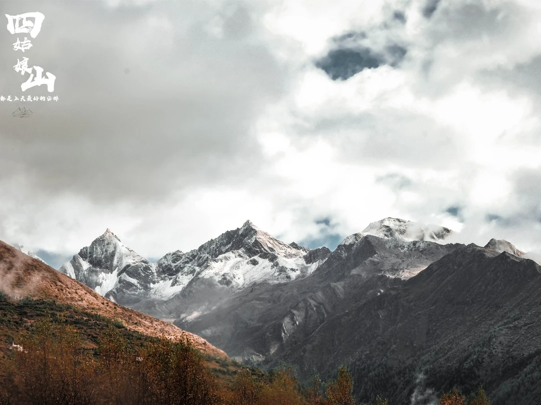
After comparing time, difficulty, and feasibility, we chose Mount Siguniang's Second Peak (四姑娘山二峰). The Gongga loop required more days, and the Mid-Autumn star photography conditions were poor. Siguniang's Second Peak became our grand finale—and the beginning of an unforgettable snowy mountain adventure.
This article shares everything we learned: the gear that saved us, the mistakes we made, and the raw truth about summiting at 5,276 meters. Whether you're a beginner or a seasoned trekker, this guide will help you prepare for one of China's most accessible—yet deceptively challenging—snow mountains.
Mount Siguniang's Second Peak: A Deceptively Gentle Giant

Altitude and Route Overview
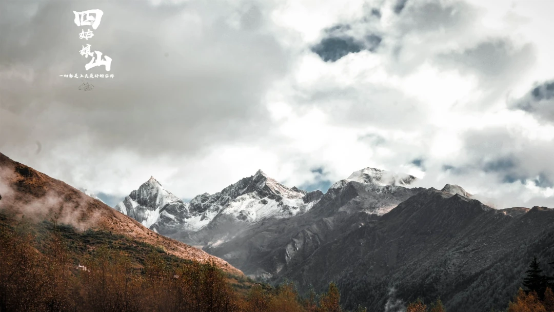
Standing at 5,276 meters above sea level, the Second Peak of Mount Siguniang is often described as an "entry-level snow mountain." The route from Haizigou in Rilong Town to the summit covers approximately 24 kilometers of mountain trail, with a vertical ascent of over 2,100 meters.
According to outdoor forums like 8264, the route "has no dangerous sections," with a short snow line and relatively low altitude. Sounds easy, right?
Not quite.
The Reality Check: Summit Success Rate Below 30%
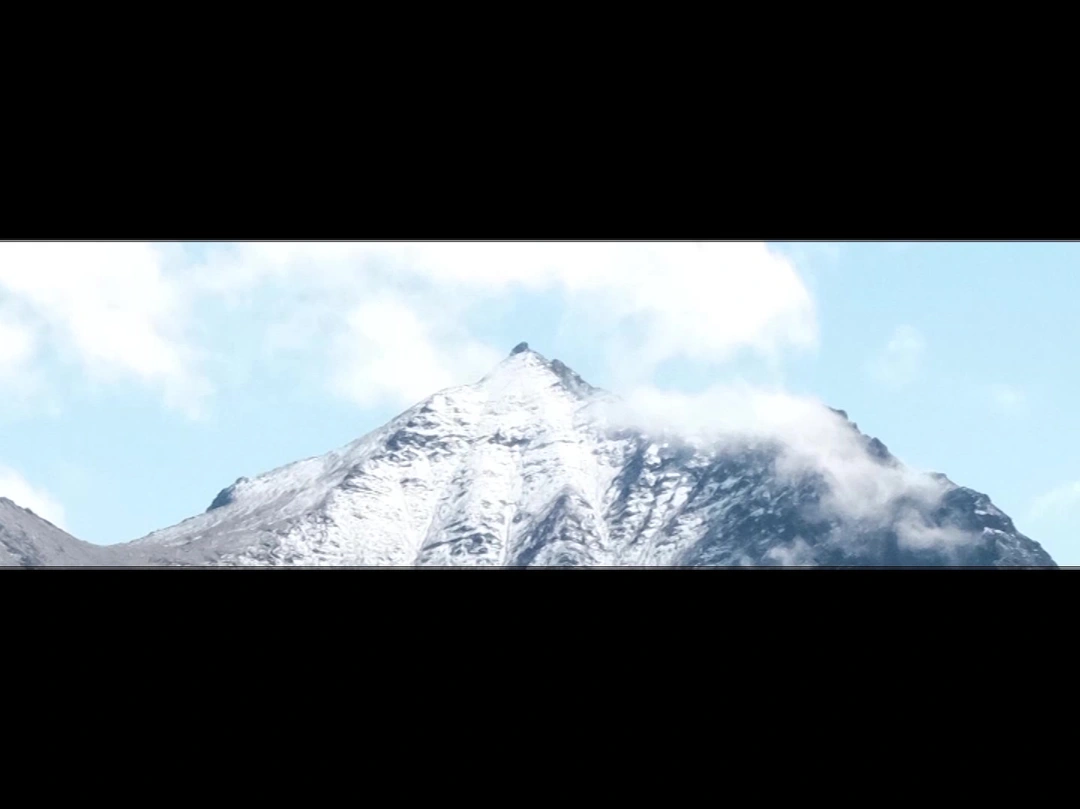
Biaozi and I weren't unprepared. The previous year, we cycled around Qinghai Lake at 3,100 meters. We had done repeated training hikes at Huanglong Mountain (1,500 meters). Both of us had run half-marathons—Biaozi even completed a full marathon.
But after digging through countless travel guides, I discovered the actual summit success rate was less than 30%. Altitude sickness, physical exhaustion, and sudden weather changes can crush your dream at any moment. This "entry-level snow mountain" is anything but simple.
Weather Challenges: The 2020 Anomaly
2020 was an unusual year—floods were frequent across China, and it had been raining for half a year. Normally, during National Day, Rilong Town enjoys crisp autumn weather. But our forecast predicted continuous overcast skies and rain.
If we encountered muddy trails and persistent heavy rain, our chances of summiting would plummet. The scenery would be ruined too.
But as our team motto said: Everything is for the best.
Essential Gear Checklist: Every Item Could Save Your Life
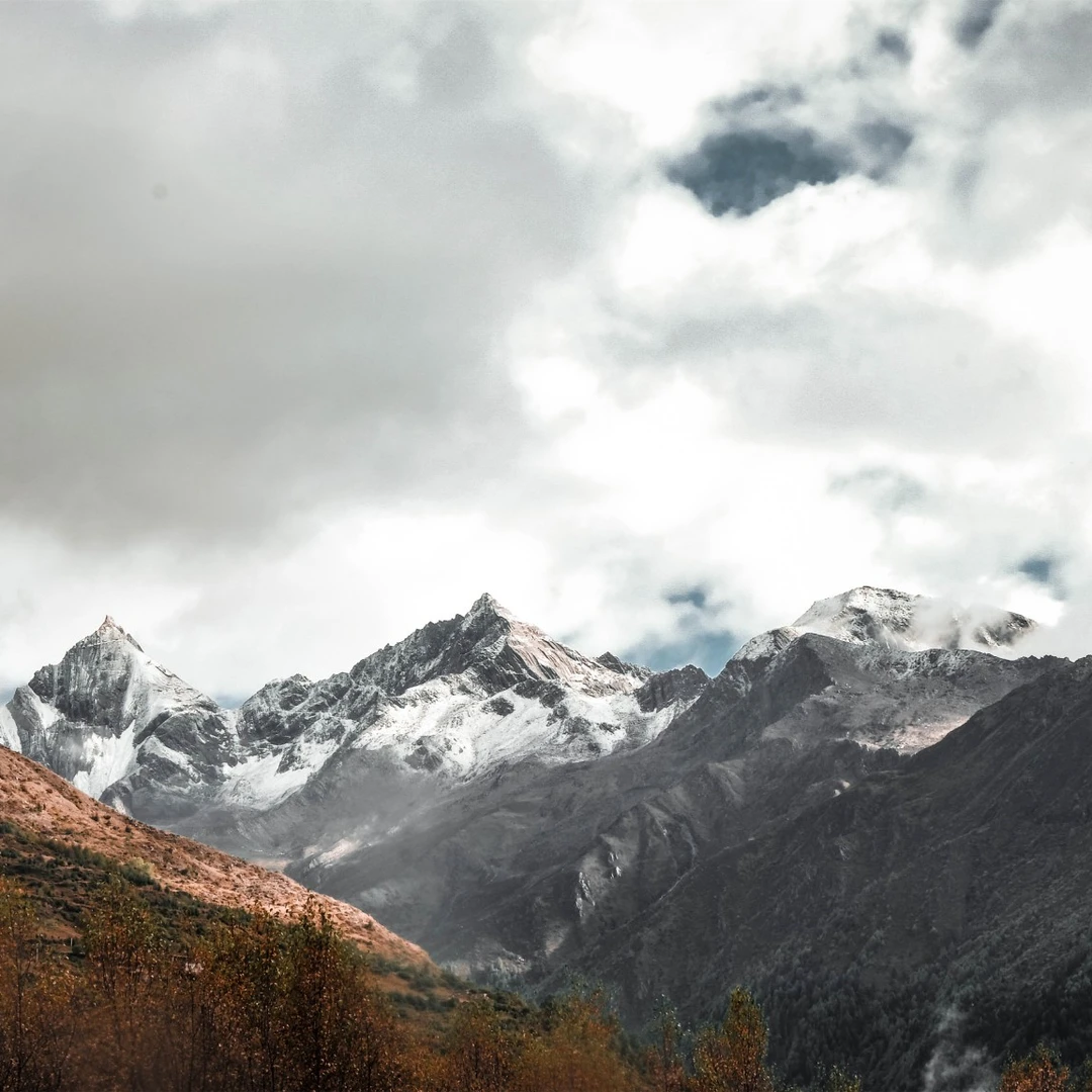
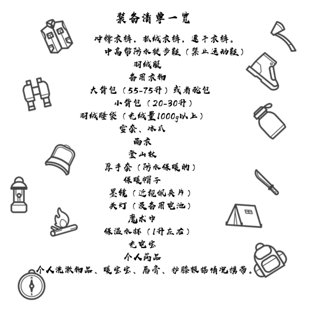
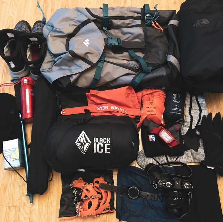
Before the trip, I bombarded the customer service rep "Waiwai" from my group tour operator (Shua Jia Travel) with endless questions. Here's what I learned—and what you absolutely need:
1. Sleeping Bag: Don't Skimp on This
When Waiwai asked if I had my sleeping bag ready, I confidently replied, "Of course—I've got the Beishanlang summer camping bestseller, used it for four years!"
Waiwai paused. "Better use Heibing."
Heibing? I searched online and discovered this legendary sleeping bag brand. I found a used Heibing B700 on Xianyu (second-hand marketplace)—a seasoned hiker had used it once two years ago. After verifying its authenticity, I bought it. It was more than sufficient for the conditions.
2. Raincoat: The 20-Yuan Mistake
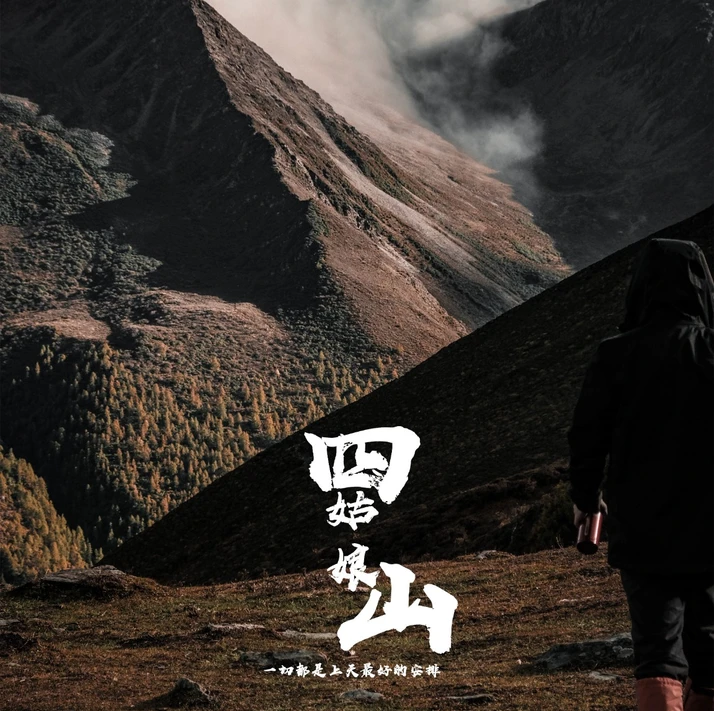
Plateau weather changes on a dime. I bought a cheap 20-yuan raincoat in town. When a blizzard hit, one sleeve tore open as soon as I put it on. I had to tough it out. Invest in a quality raincoat.
3. Sunglasses: Snow Blindness Is No Joke
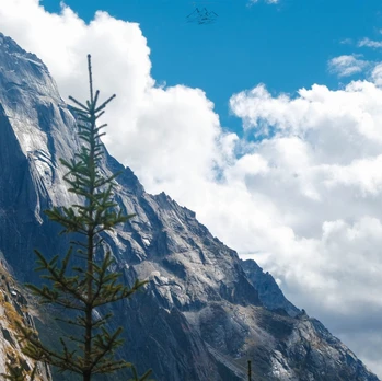
I never considered sunglasses because I'm nearsighted. But after descending, my vision noticeably deteriorated. It took a while to recover. Snow blindness is real—bring UV-protective sunglasses or glacier glasses.
4. Insulated Water Bottle (Minimum 1 Liter)
Otherwise, you're stuck drinking ice water. Trust me, you don't want that at 5,000 meters.
5. Sunscreen: Even for Night Summit Attempts
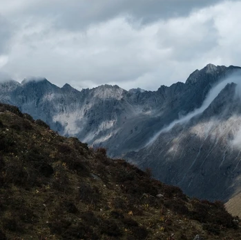
I thought, "Why would I need sunscreen for a nighttime summit attempt?" But after reaching the top, the sun was blazing. The descent felt like walking under a scorching midday sun. When I got home, my face and hands peeled in layers. All tears. Use SPF 50+.
Route Guide: What Every Beginner Must Know
The Full Route (Approximately 26 Kilometers)
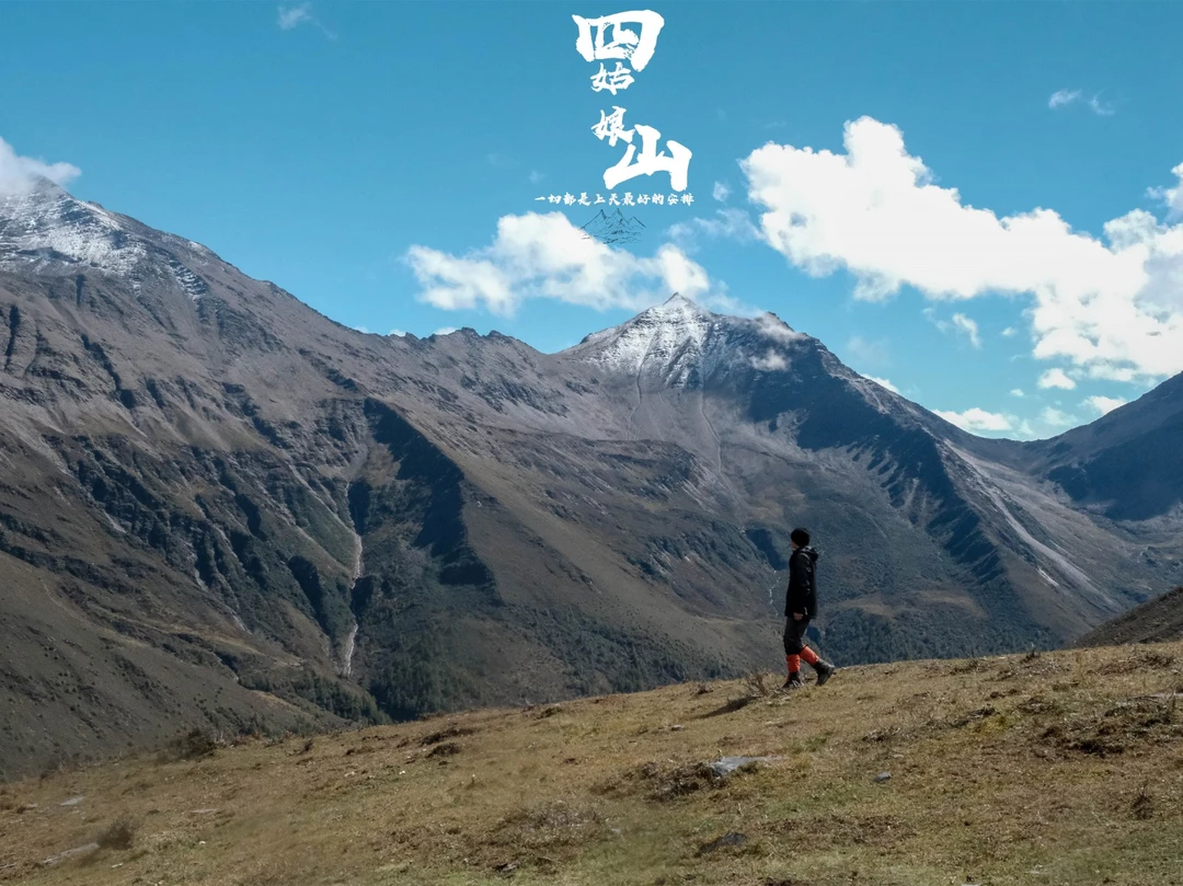
Starting from Siguniangshan Town, the route passes through:
- Guozhuangping (8 km)
- Dajianbao (10 km)
- Second Peak Base Camp (8 km)
- Second Peak Summit
Key Tips for Beginners
1. Dajianbao Has No Supply Resources
We didn't check this before setting out. We ran out of water by the time we got there—very awkward. However, there's a clean water source about 2 kilometers further on, but only when it's not frozen.
2. Horseback Riding: Use Strategically
For beginners, riding a horse can conserve energy. But don't ride the entire route—moderate hiking helps with altitude acclimatization. Horse teams are available at Guozhuangping, Dajianbao, and the fork to the First Peak Base Camp.
3. Don't Eat Too Much Dinner at Base Camp
I made this mistake. I ate a full meal, then got altitude sickness. Lying down made me nauseous, my head throbbed, and that night was pure agony.
However, the breakfast before the 2:30 AM departure the next morning—even if you feel terrible, you must eat something. Biaozi skipped it and completely ran out of energy on the later part of the route.
4. Know When to Turn Back
On the final push after the col (垭口), you must gauge your energy levels. If you've hit your limit, it's responsible to turn back. No summit is worth your life.
5. Going Up Is Hard; Coming Down Is Harder
Accident-prone sections are concentrated at Yixiantian (一线天, "Thread of Sky") and the Despair Slope. The guy who summited alongside me slipped on loose rocks during the descent, fell several meters, and was knocked unconscious. Luckily, only minor scrapes.
6. Watch for Melting Snow
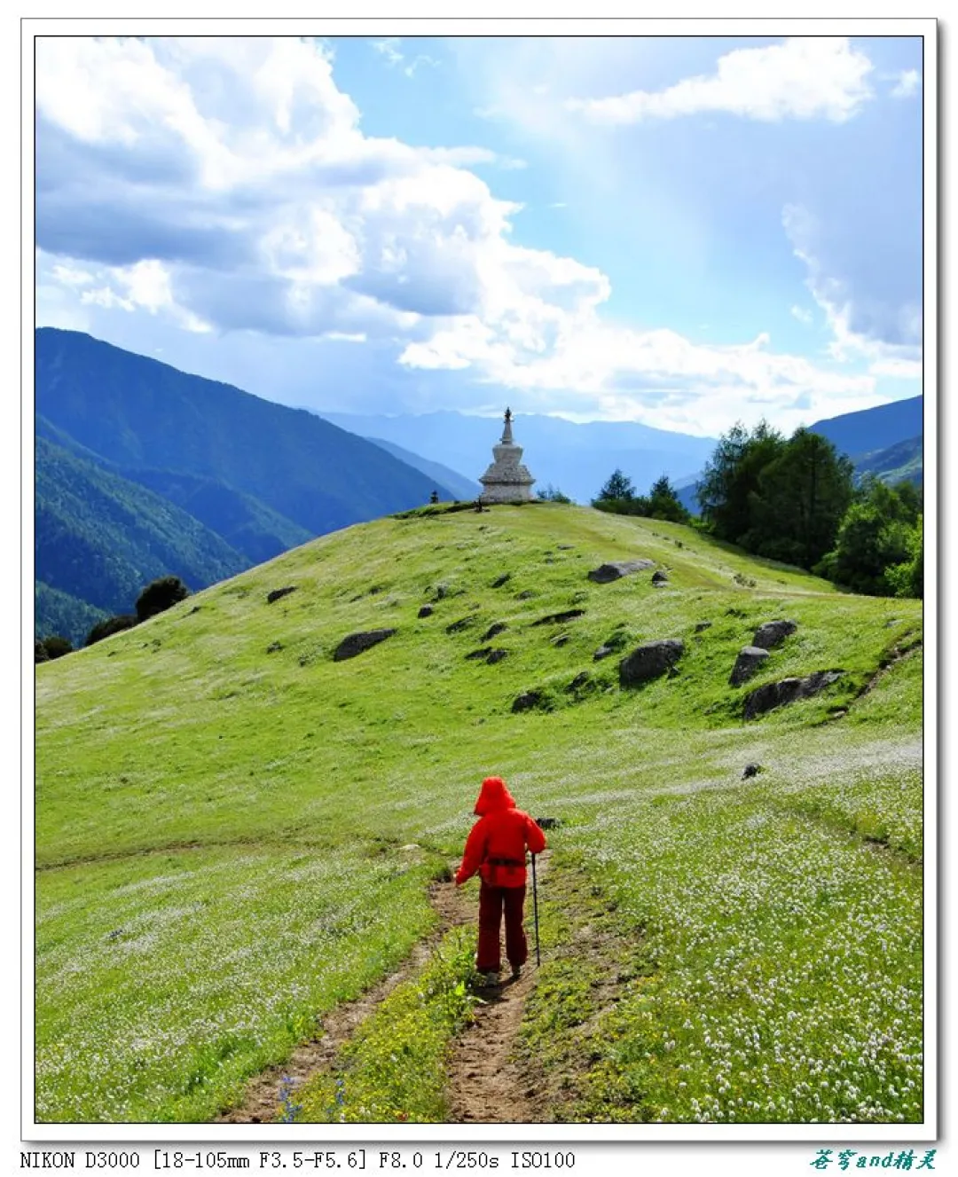
During the descent, melting snow makes the trail slippery. Trekking poles are your best friend. If you're hiking alone, watch for the stone cairns adorned with prayer flags—those are your trail markers!
Chengdu: The Perfect Prelude and Epilogue
"And walk with me on the streets of Chengdu, until all the lights go out and we don't stop..."
On October 2nd, we arrived in Chengdu by high-speed rail. After checking into a hotel near Zhaojue Temple in Chenghua District, Biaozi and I planned to visit the temple—but it closed at 4 PM. Disappointed, we turned back.
For dinner, we found a roadside eatery called "Qinglong Lamb Soup" (青龙羊肉汤). The owner, speaking in his thick Chengdu dialect, said: "Lamb meat 100, lamb offal 100!"—that was the price per half kilo. We ordered half a kilo of meat and half a kilo of offal, along with side dishes, rice, and flatbread.
The fermented tofu (腐乳) was a revelation—firm in texture, rich in flavor, with a lingering hint of wine aroma. I ate one piece with plain rice, then asked for two more. The lamb meat and offal were from local sheep, unlike the gamey goat from Hunan. The broth was thick and hearty. We left completely satisfied.
(Fun fact: This part is told in reverse—after returning to Chengdu on the fifth day, we came back to eat here again. Biaozi was in low spirits after the descent and had even left his phone at base camp. Luckily, our guide Xiaoze posted in the group chat that someone had found it.)
Frequently Asked Questions (FAQ)
1. Is Mount Siguniang's Second Peak suitable for beginners?
Yes, but with caveats. It's considered an "entry-level snow mountain," but the summit success rate is below 30%. Proper preparation, altitude acclimatization, and physical fitness are essential. Consider joining a guided group tour for safety.
2. What is the best time to climb Mount Siguniang's Second Peak?
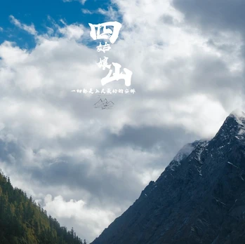 The best months are September to November (autumn) and April to June (spring). Avoid the rainy season (July-August) and peak winter (December-February) unless you're experienced with snow conditions.
3. How do I prevent altitude sickness?
- Ascend gradually—don't rush.
- Stay hydrated (minimum 3-4 liters per day).
- Avoid alcohol and heavy meals at base camp.
- Consider medication like acetazolamide (Diamox) after consulting a doctor.
- Descend immediately if symptoms worsen.
4. Do I need technical climbing equipment?
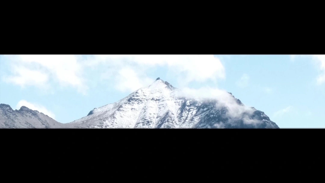 No. The Second Peak is a non-technical climb—no ropes, crampons, or ice axes are required for the standard route. However, trekking poles, sturdy boots, and proper layering are mandatory.
5. Can I climb without a guide?
Technically yes, but it's strongly discouraged for beginners. The route is well-marked, but weather changes rapidly, and altitude sickness can strike without warning. A guide provides safety, navigation, and emergency support.
Internal Linking Suggestions
- [Link: How to Train for High-Altitude Treks]
- [Link: Best Time to Visit Sichuan for Outdoor Adventures]
- [Link: Complete Guide to Mount Siguniang National Park]
- [Link: Altitude Sickness Prevention and Treatment]
- [Link: Top 10 Beginner-Friendly Snow Mountains in China]
Your Turn: Are You Ready for the Summit?
Climbing Mount Siguniang's Second Peak was one of the most challenging—and rewarding—experiences of my life. It taught me that preparation is everything. The gear, the training, the mental fortitude—they all matter.
But more than that, it taught me that every summit begins with a single step. And sometimes, that step comes from a random thought, a last-minute decision, or a friend who bails on you.
If you're ready to take that step, start planning today. Research your gear. Train your body. And when you finally stand above the clouds at 5,276 meters, you'll know it was worth every moment of struggle.
Ready to climb? Book your guided tour, check the weather, and prepare for the adventure of a lifetime. The mountain is waiting.
Have you climbed Mount Siguniang's Second Peak? Share your experience in the comments below—or ask any questions you have about the route, gear, or altitude preparation. I'd love to help you plan your summit!
You may also like